Old Maps

Antique Map Under Glass, Duchy Of Brittany, 1632, By Joannes Jans[...]
17th century


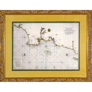
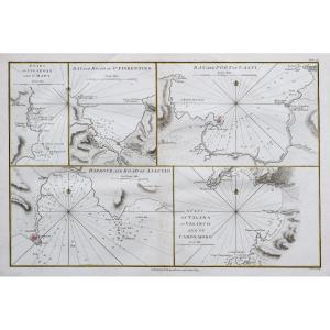
Engraving - Large Marine Chart From The Bay Of Audierne To The Is[...]
18th century
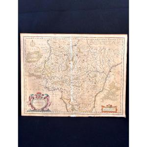
![]()
The Duchy Of Luxembourg - Jacques Surhon De Mons - 1551 - édouard[...]
20th century


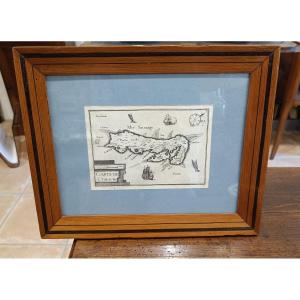
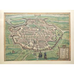
1580 Map (period) Mastiscona & Cabillinum By Braun Georg Macon An[...]
16th century

Engraving - Map Of Maine (anjou Touraine) And Its Coat Of Arms - [...]
17th century
![]()


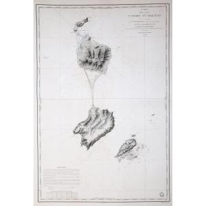
Engraving - Large Nautical Chart Of The Isle Of Aurigny - From l'[...]
18th century
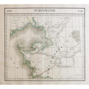
![]()

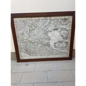
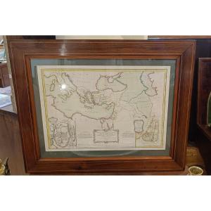
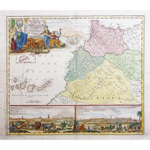
Engraving Of European Turkey And Part Of That Of Asia Divided - E[...]
18th century
![]()
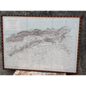
Art Deco Baguette Frame For Maybe Algeria Tunisia Map
19th century


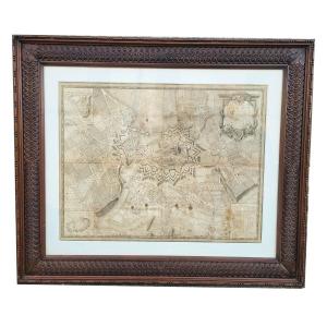
Beautiful View Of Metz, Circa 1593, Braun And Hogenberg, Period C[...]
16th century
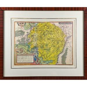
![]()

Engraving "alsatia" (alsace) Cartographer Johan Batist Homann 166[...]
18th century
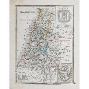
18th Century Framed Map Of New Testament Regions, Jerusalem, Holy[...]
18th century
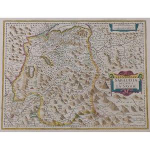
17th Century Map Sabaudia Ducatus La Savoié Watercolor Engraving [...]
17th century
![]()


Map Of The City Of Geneva, 90x77cm, Framed Engraving, Late 18th C[...]
18th century
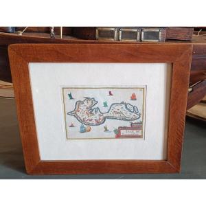
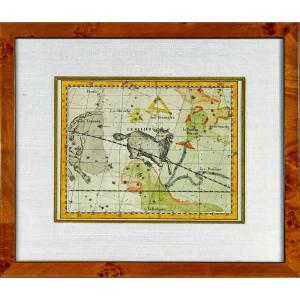
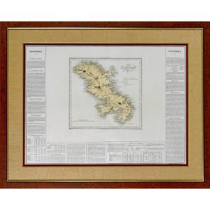
Tassin 1634 Watercolored And Framed Map Of The Island Of Noirmout[...]
17th century
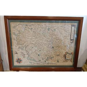
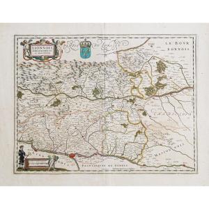
Framed Map Of Poitou, Saintonge, Angoulmois And Aulnix From The 1[...]
17th century


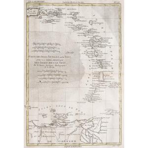
The World Known To The Ancients In 1763 By Jean-baptiste d'Anvill[...]
18th century


Map Of Algiers And Its Surrounding Areas Drawn Up For The 1830 Mi[...]
19th century
![]()


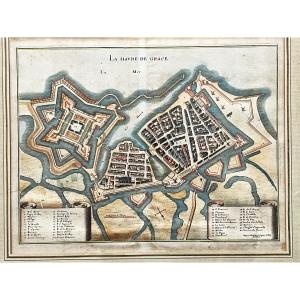
La Havre De Grace (le Hâvre) Print By Jacques Gomboust Around 165[...]
17th century
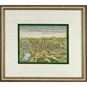
Old Engraving - View Of The City Of Rouen - Ep. Early 18th Centur[...]
18th century
![]()


