Old Maps


Framed Map Of Aveyron: Geographer Levasseur Published By Pélissie[...]
19th century


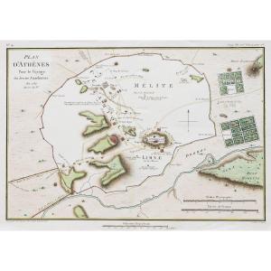
Large Engraved And Watercolored Map From The 17th Century Lodun &[...]
17th century


Map Of The City Of Bordeaux And Its Faux-bourgs, Jean De Bauvais,[...]
19th century


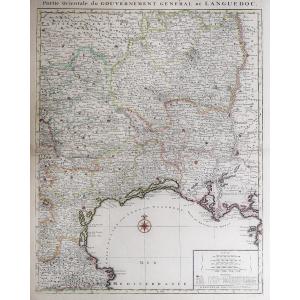
Rare Carte Géographique De l'état Pontifical Et Du Grand-duché De[...]
17th century
![]()

Rare Engraving - Map Of Marseille And Its Suburbs - Mid-18th Cent[...]
18th century
![]()


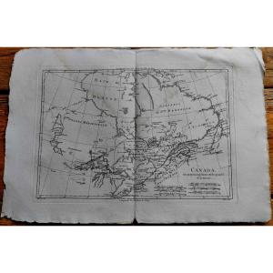
Large 18th Century Map Of Texas - Coast Of Louisiana And The Coas[...]
18th century
![]()


Large 18th Century Map - Saint Lucia - Caribbean - Laurie Et Whit[...]
18th century
![]()


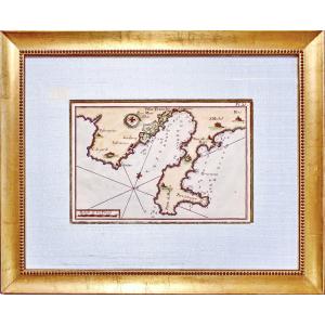
Rare Engraving Of The Island Of Narmoustier (island Of Noirmoutie[...]
17th century
![]()


Map Of The City Of Lille, Taken Circa 1708, Superbly Watercolored[...]
18th century
![]()


Rare Engraving Map Of The Government Of Antibes - Ep. 17th Centur[...]
17th century
![]()
Rare Marine Map Engraving - Plan Of The Bay Of Villefranche Sur M[...]
18th century
![]()


Engraving Marine Map The Mediterranean Sea - Golf Du Lyon From Ai[...]
18th century

Nice, The City, The Castle; Map After Nicolas De Fer, 1705.
19th century
![]()


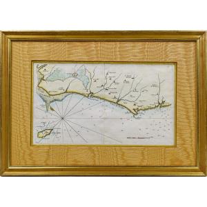
Rare Engraving Marine Map Of Vendée - No. 27 - Beauvoir - Isle d'[...]
18th century
![]()
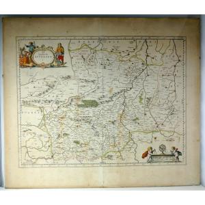
Duchy Of Auvergne Circa 1663, Beautiful Map: By Blaeu, Period Col[...]
17th century
![]()