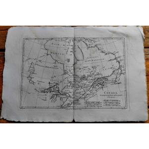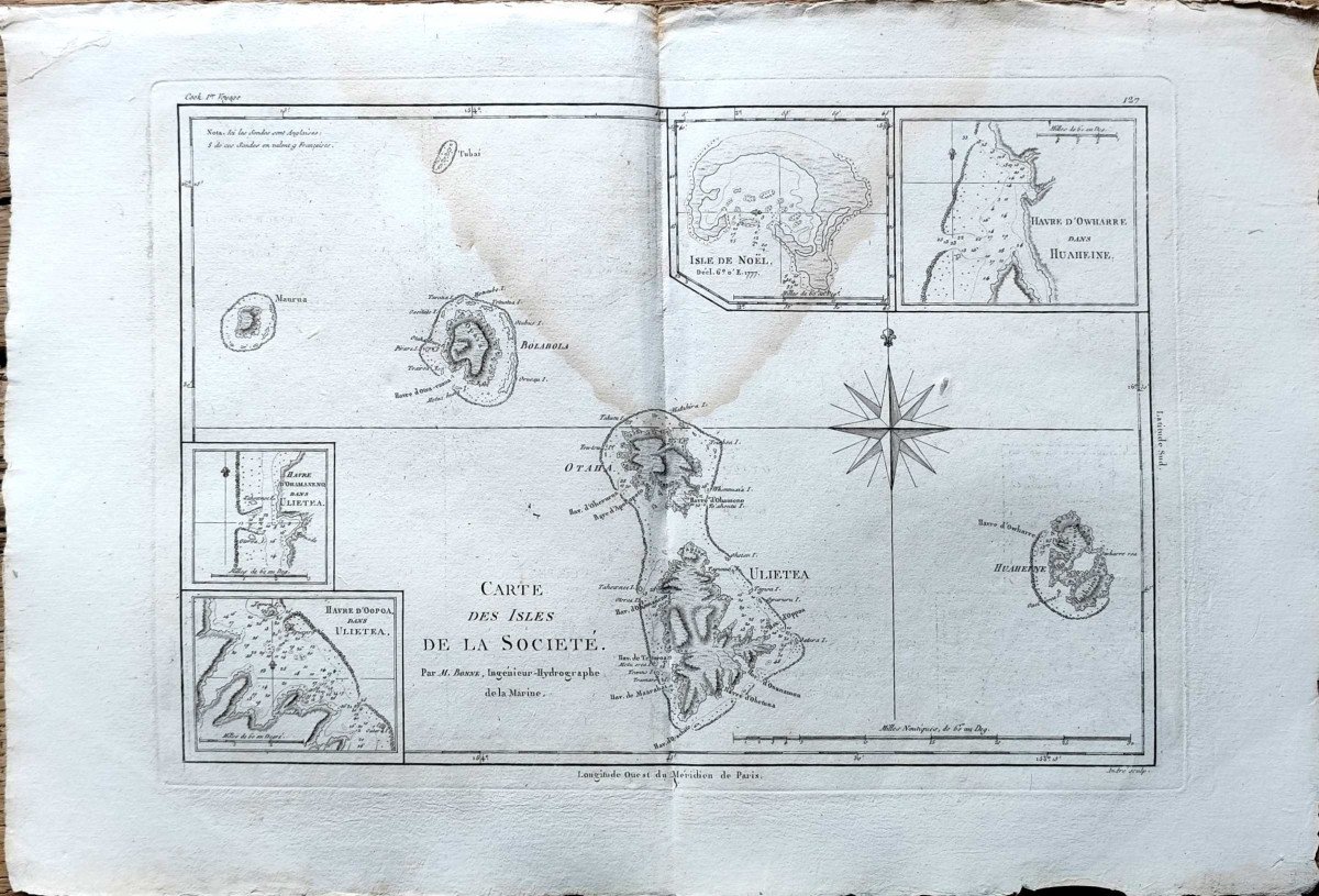
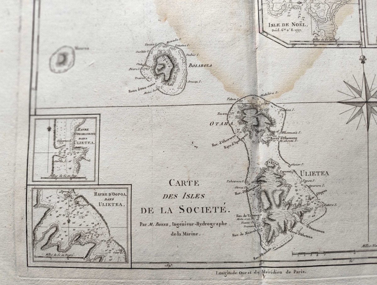
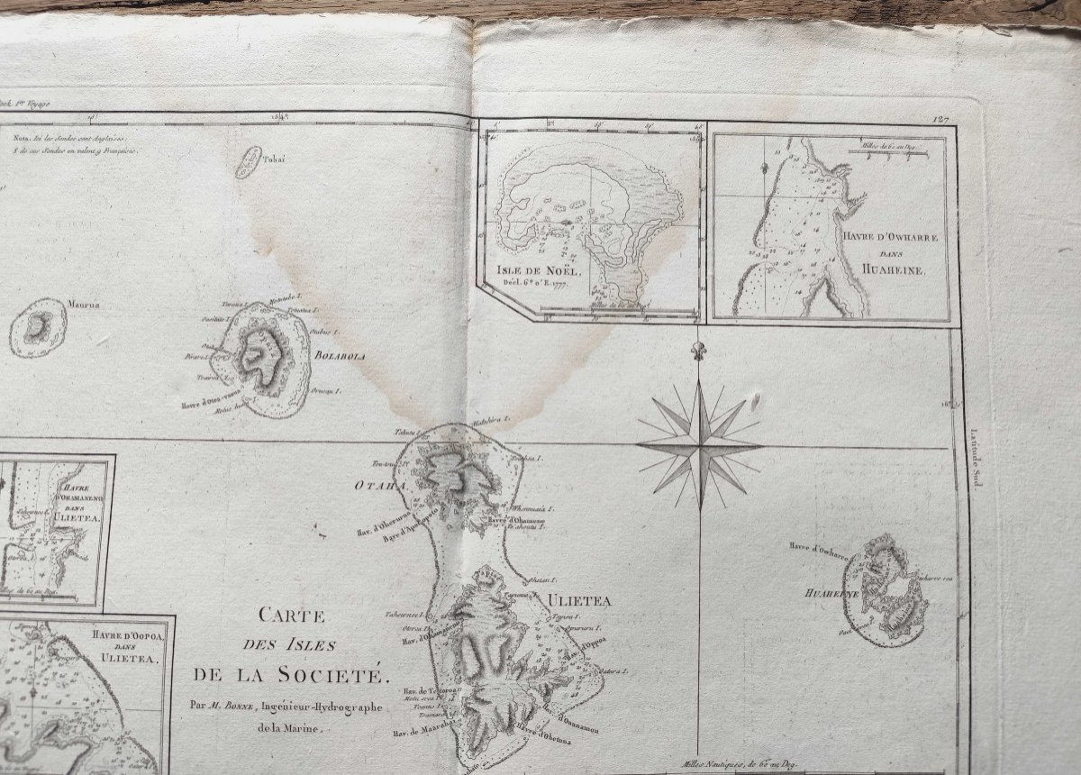
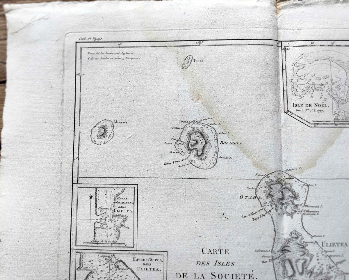


Map Of The Society Islands - Rigobert Bonne - 1787
Artist: Rigobert Bonne
Marine map from the "Encyclopedic Atlas, containing ancient geography, and some maps on the geography of the Middle Ages, modern geography, and maps relating to physical geography", Paris, Hôtel de Thou 1787-1788, by Rigobert Bonne and Nicolas Desmarest.
This copy presents the Isles De La Société to us.
Good condition despite a stain at the top center, some foxing and folds on the edges (see photos).
Sheet size: 46 x 31.5 cm
Engraving size: 36.5 x 26.5 cm
This copy presents the Isles De La Société to us.
Good condition despite a stain at the top center, some foxing and folds on the edges (see photos).
Sheet size: 46 x 31.5 cm
Engraving size: 36.5 x 26.5 cm
120 €
Period: 18th century
Style: Other Style
Condition: Condition of use
Material: Paper
Length: 46
Width: 31,5
Reference (ID): 1332164
Availability: In stock
Print