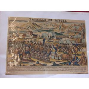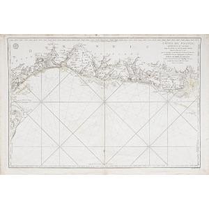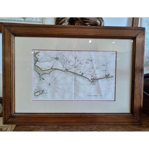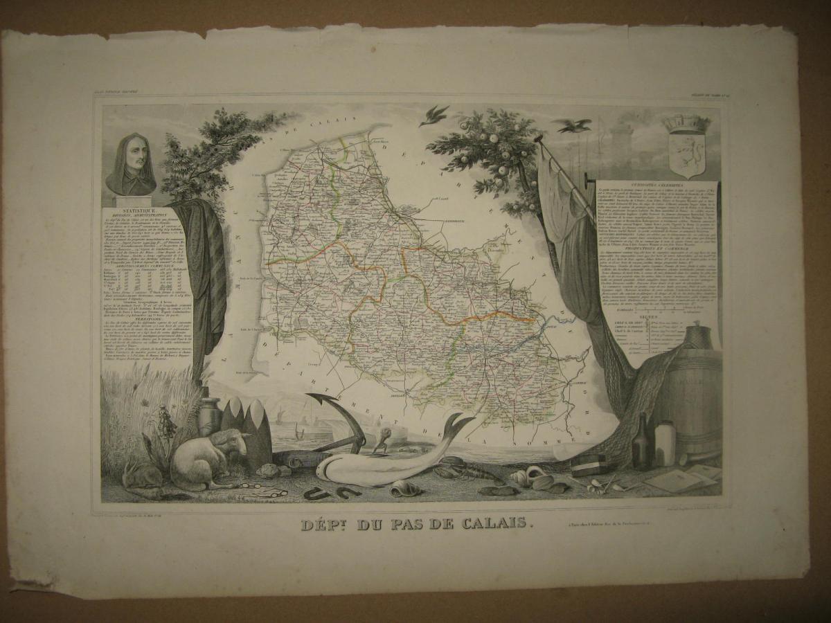


Map Levasseur, 19th, Calais.
Map from the atlas of Levasseur, 19 th. It represents the region of Calais. We also have other areas.
18 €
Period: 19th century
Style: Other Style
Length: 49 cms
Height: 35 cms
Reference (ID): 9590
Availability: In stock
Print