

Old Map Of The Greek Islands
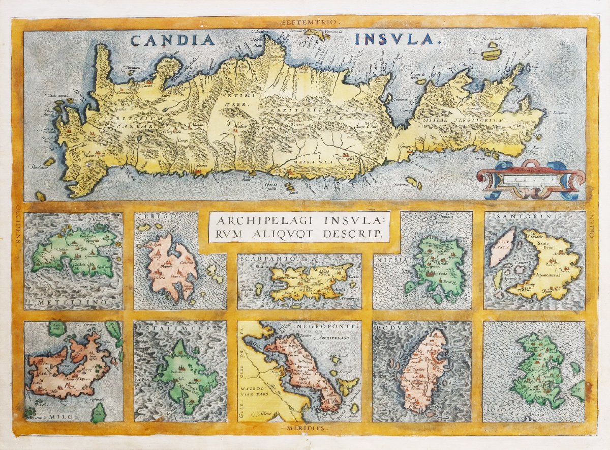
Beautiful antique coloring.
Explanatory text in Gothic script on the reverse.
Antique reinforcement on the back of the lower margin. Paper crease on the island of Scios.
Good condition.
Sheet size: 53 x 38.5 cm.
Engraving dimensions: 50.5 x 36 cm.
Original antique map from around 1590.
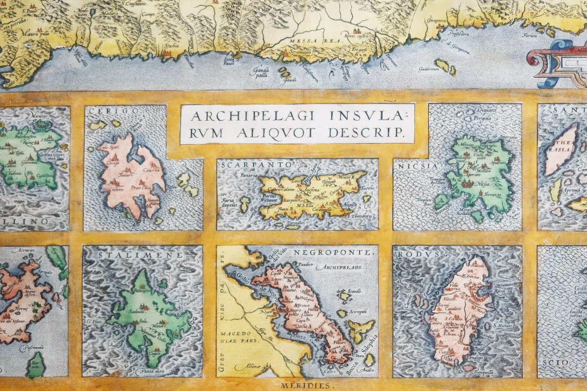
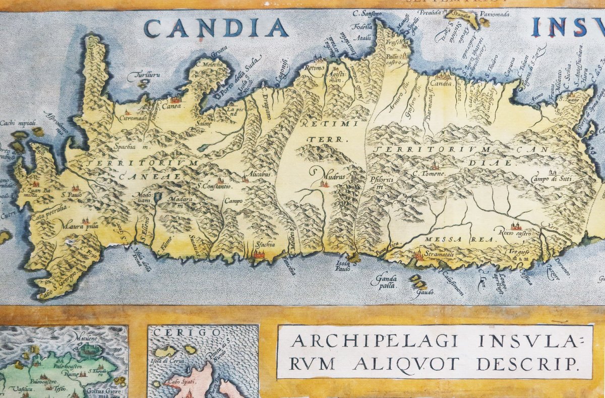
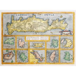
Map showing 10 islands of the Greek archipelago in the Mediterranean, with a depiction of Crete at the top. The 10 islands are Metellino, Cerigo, Scarpanto, Nicsia, Santorini, Milos, Stalimente, Negroponte, Rhodes, and Scios.
You can view allthe maps, books, and engravings available for your region by clicking on thelink on our website specializing in historicalgeographic archives:
https://cartes-livres-anciens.com/product-category/antique-geographic-maps-original-antique-maps/europe/greece/
Secure payment byon our website by clicking the link below:
https://cartes-livres-anciens.com/produit/cartes-geographiques-anciennes-original-antique-maps/europe/grece/carte-ancienne-des-iles-grecques/
All of our maps and engravings come with a certificate of authenticity.
Abraham Ortel, better known as Ortelius, was born in Antwerp and, after studying Greek, Latin, and mathematics, settled there with his sister as a bookseller and “mapmaker.” Traveling extensively, particularly to major book fairs, his business flourished, and he forged connections with scholars in many countries.
A turning point in his career came in 1564 with the publication of an eight-sheet world map, of which only one copy is known to exist: other individual maps followed, and then, at a friend’s suggestion, he compiled a collection of maps that he had engraved in a uniform size, thus creating a set of maps that was first published in 1570 under the title *Theatrum Orbis Terrarum* (Atlas of the Entire World).
Although Lafreri and other Italian cartographers had published collections of “modern” maps in book form in previous years, the *Theatrum* was the first systematic collection of uniformly sized maps and can therefore be called the “first atlas,” although that term was not used until twenty years later by Mercator.
The Theatrum, with most of its maps elegantly engraved by Frans Hogenberg, was an immediate success and appeared in numerous editions in various languages. The last edition of the maps was published in 1612.
Unlike many of his contemporaries, Ortelius cited his sources of information. In the first edition, eighty-seven cartographers were acknowledged.
In addition to the modern maps in his main atlas, Ortelius himself compiled a series of historical maps known as the *Parergon Theatri*, which began appearing in 1579, sometimes as a separate publication and sometimes incorporated into the *Theatrum*.
Period: 16th century
Style: Other Style
Condition: Excellent condition
Material: Paper
Reference (ID): 1802046
Availability: In stock