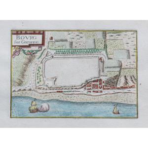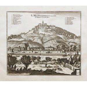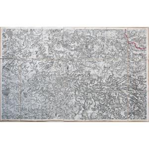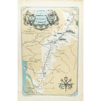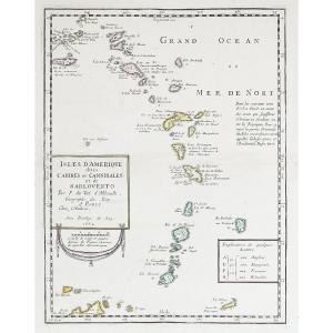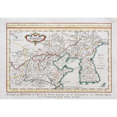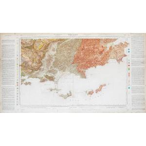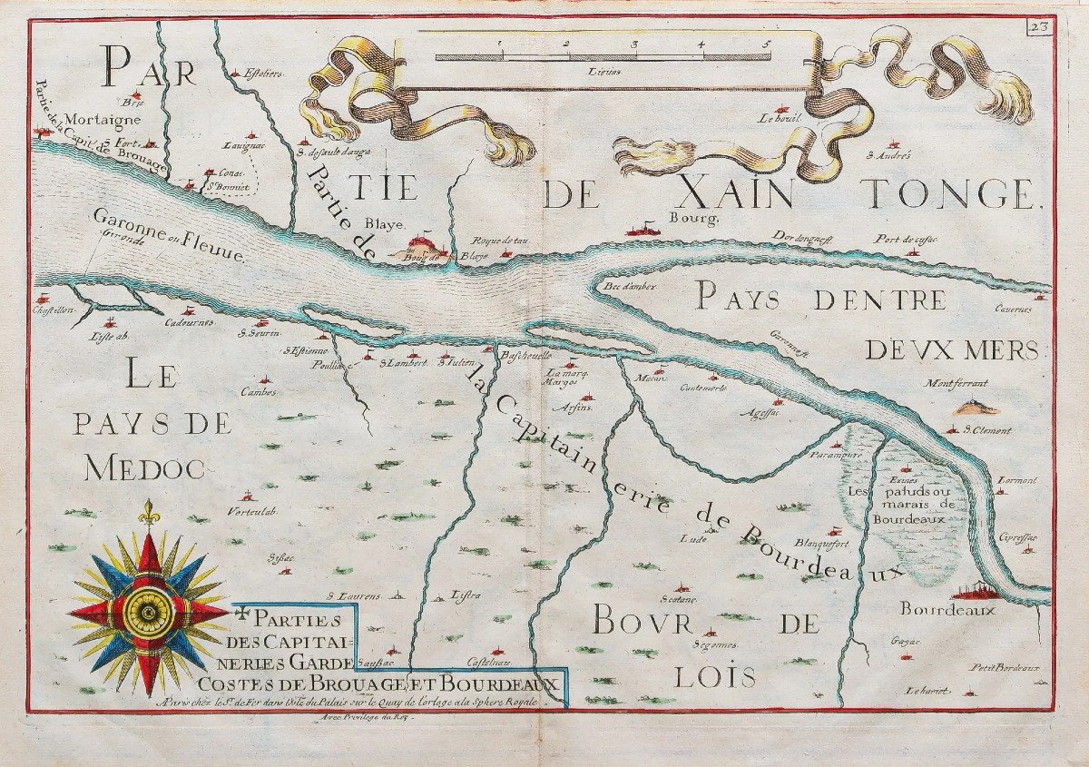

Bordeaux & Medoc Marine Map
Epreuve originale réalisée en 1690. Nicolas de Fer éditeur.
Beaux coloris aquarelle.
Très bon état.
Format feuille : 35,5 x 26 cm.
Carte particulièrement décorative ornée d’une large boussole, de galions et d’une échelle des mesures en lieues. Dans ces cartes sont marquées les côtes avec les dunes, les montagnes, caps et pointes, rades ou ancrages représentés par des petites ancres.
D’après le travail de Tassin géographe, en 1635.
Vous pouvez consulter l’ensemble des cartes, livres et gravures disponibles sur votre région en cliquant sur le lien de notre site internet spécialisé en archives anciennes géographiques :
https://cartes-livres-anciens.com/categorie-produit/cartes-geographiques-anciennes-original-antique-maps/france/aquitaine-guyenne-gascogne-perigord/
Règlement sécurisé par carte bancaire sur notre site internet en cliquant sur le lien ci-dessous :
https://cartes-livres-anciens.com/produit/cartes-geographiques-anciennes-original-antique-maps/france/aquitaine-guyenne-gascogne-perigord/carte-bordeaux-medoc/
Toutes nos cartes et gravures sont accompagnées d’un certificat d’authenticité.
De Fer Nicolas 1647 – 1720
Géographe de Sa Majesté catholique 1702 et de Monseigneur le Dauphin 1690) et géographe des Enfants royaux.
Nicolas de Fer était Fils du marchand d’estampes Antoine de Fer. Il rentra en apprentissage à l’âge de 12 ans chez le graveur Louis Spirinx en mai 1659 puis travaille avec son père jusqu’à la mort de ce dernier en juin 1673, puis avec sa mère jusqu’en 1687, année où celle-ci lui cède son commerce (8 nov. 1687).
Ingénieur et cartographe, il emploiera plusieurs graveurs qui réaliseront ses cartes marines, la cartographie des conquêtes de Louis XIV, soit plus de 600 cartes ou plans dont la France politique, administrative, ecclésiastique, hydrographique, orographique, ainsi que divers pays limitrophes.
Son œuvre marquante résultera de la réunion des cartes dans l’Atlas Curieux où le Monde représenté dans les cartes générales et particulières du Ciel et de la Terre.
Original proof produced in 1690. Nicolas de Fer publisher. Beautiful watercolor colors. Very good state. Sheet size: 35.5 x 26 cm. Particularly decorative map decorated with a large compass, galleons and a scale of measurements in leagues. In these maps are marked the coasts with the dunes, the mountains, capes and points, roadsteads or anchorages represented by small anchors. According to the work of Tassin geographer, in 1635. You can consult all the maps, books and engravings available in your region by clicking on the link of our website specializing in ancient geographical archives: https://cartes-livres -anciens.com/categorie-produit/cartes-geographiques-anciennes-original-antique-maps/france/aquitaine-guyenne-gascogne-perigord/ Secure payment by credit card on our website by clicking on the link below: https ://cartes-livres-anciens.com/produit/cartes-geographiques-anciennes-original-antique-maps/france/aquitaine-guyenne-gascogne-perigord/carte-bordeaux-medoc/ All our maps and engravings are accompanied by a certificate of authenticity. De Fer Nicolas 1647 – 1720 Geographer to His Catholic Majesty 1702 and Monseigneur le Dauphin 1690) and geographer to the Royal Children. Nicolas de Fer was the son of the print dealer Antoine de Fer. He returned to his apprenticeship at the age of 12 with the engraver Louis Spirinx in May 1659, then worked with his father until his death in June 1673, then with his mother until 1687, the year in which she ceded his business to him (Nov. 8, 1687). Engineer and cartographer, he will employ several engravers who will produce his nautical charts, the cartography of the conquests of Louis XIV, i.e. more than 600 maps or plans including political, administrative, ecclesiastical, hydrographic, orographic France, as well as various neighboring countries. His outstanding work will result from the meeting of the maps in the Curious Atlas where the World represented in the general and particular maps of Heaven and Earth.
250 €
Period: 17th century
Style: Other Style
Condition: Excellent condition
Material: Paper
Reference (ID): 1075676
Availability: In stock
Print