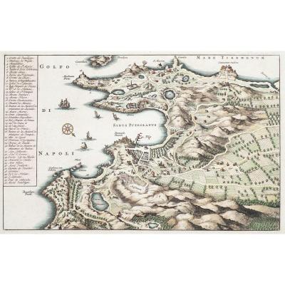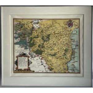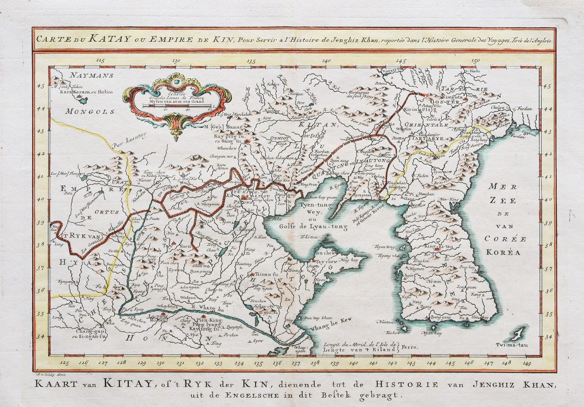
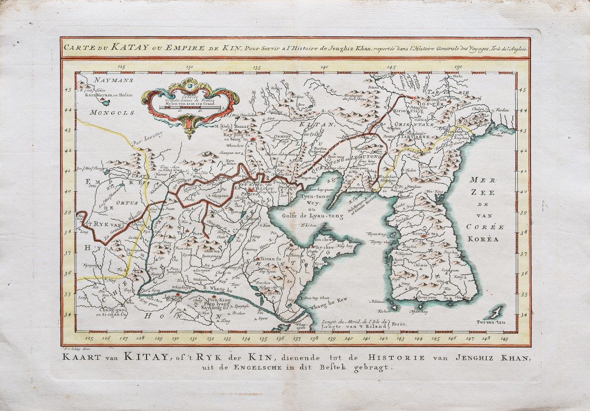
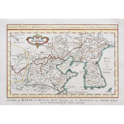

Carte géographique ancienne de la Chine et Corée
Epreuve originale réalisée vers 1750.
Beaux coloris aquarelle.
Infime trace de rousseur dans le pli médian.
Très bon état.
Format feuille: 38,5 x 27,5 cm.
Format gravure: 32 x 23 cm.
Original antique map of 1750.
Carte du Katay ou Empire de Kin.
Cartouche décoratif avec échelle des lieux, tracé de la grande muraille.
Tous nos documents sont accompagnés d'un certificat d'authenticité.
390 €
Period: 18th century
Style: Other Style
Condition: Excellent condition
Material: Paper
Reference (ID): 805179
Availability: In stock
Print