Old Maps
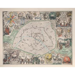
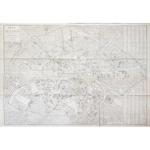
André Serveau (1892-1971) - Plan Des Anciennes Enceintes De Paris[...]
20th century
240 €
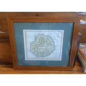
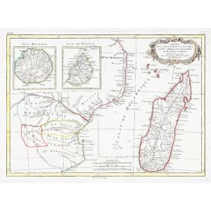
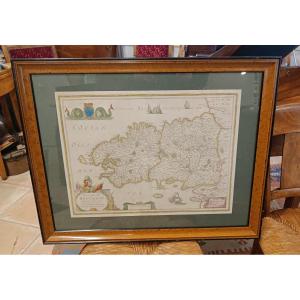
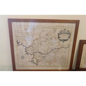
18th Century Framed Map Of Reunion Island (bourbon) By Bellin
18th century
420 €


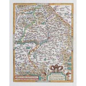
Antique Map Of Catholic Belgium And The 10 Provinces, 1747 By Tob[...]
18th century
180 €
![]()


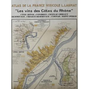
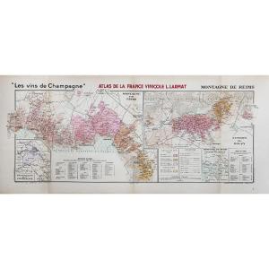
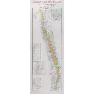
Atlas Of French Wines. Map "the Wines Of The Côtes Du Rhône". Lou[...]
20th century
150 €

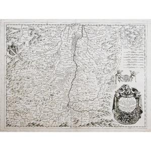
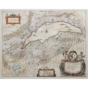
Watercolor And Framed Map From The 17th Century By H. Jaillot Of [...]
17th century
580 €


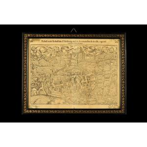
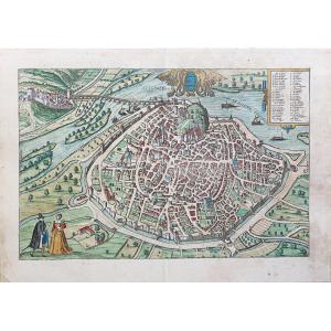
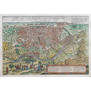
Old Map Of The Town Of Rouffach (alsace), Circa 1550 / Book By Fr[...]
16th century
360 €

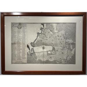
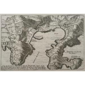
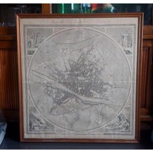
Geometrical Plan Of The City Of Marseille, Jean Pierre Besson Fil[...]
18th century
1 200 €
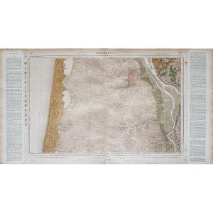

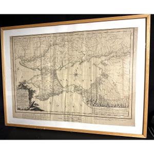
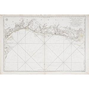
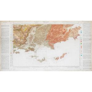
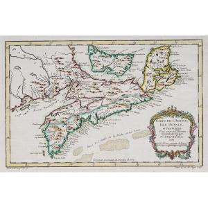
Large Map 1788, Government Of Tauride, Crimea, By Dezauche, Russi[...]
18th century
400 €
![]()


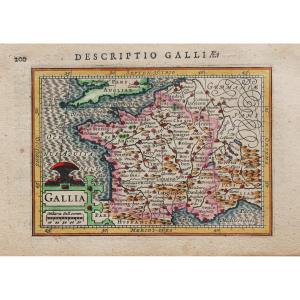
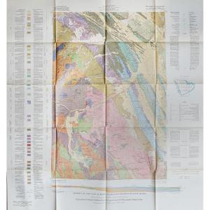
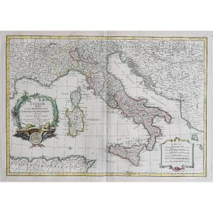
Large Geographical Map Of Aquitaine By Johann Baptist Homann, 17[...]
17th century
340 €


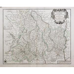
Watercolor And Framed Map Of The Province Of Brittany, Montecaler[...]
18th century
560 €