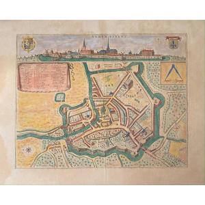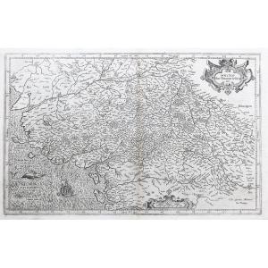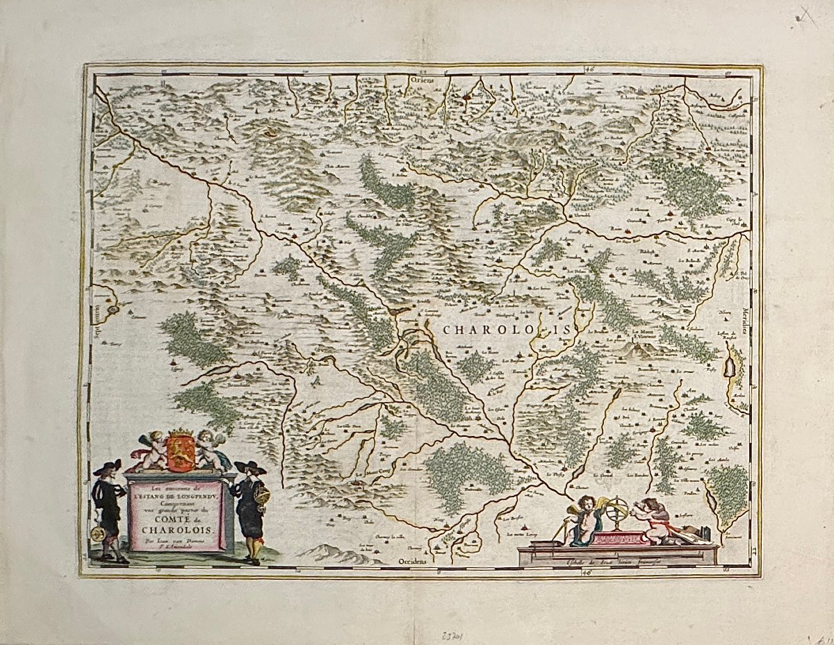

17th-century Map By Blaeu: The Surroundings Of The Longpendu Lake (...) County Of Charolois
Artist: Blaeu Johannes (1596–1673)
The area around the Estang de Longpendu, including a large part of the County of Charolois
Amsterdam: Willem and Joan Blaeu. ca. 1644.
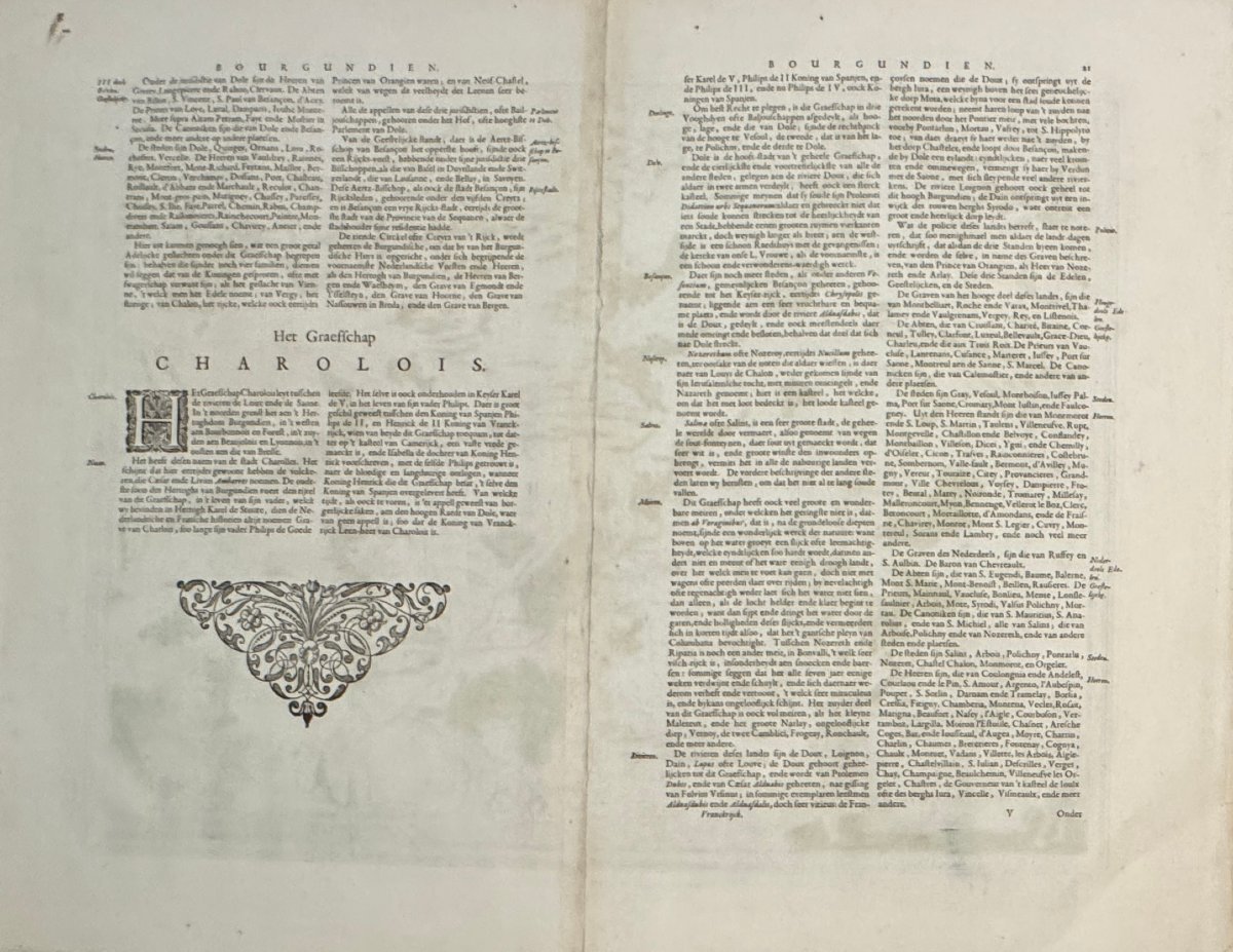
Description in Dutch on the reverse.
All margins retain beautiful original color; typical center fold; very slight tears in the outer borders.
- Technique: Etching with period colors
- Copper width: 500.00
- Copper height: 380.00
- Sheet width: 630.00
- Sheet height: 480.00
120 €
Period: 17th century
Style: Other Style
Condition: Good condition
Material: Paper
Width: 630 mm
Height: 480 mm
Reference (ID): 1806749
Availability: In stock
Print