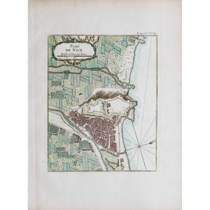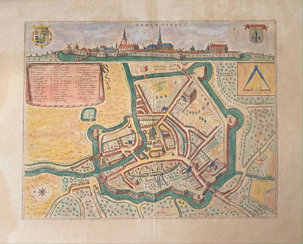
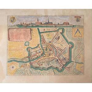

XVIIth Geographic Map Of Blaeu: Bird's Eye View Of The City Of Armentières
Artist: Blaeu Johannes (1596–1673)
From the Atlas: Novum Ac Magnum Theatrum Urbium Belgicae. Amsterdam, 1649
Etching in old colors on laid paper.
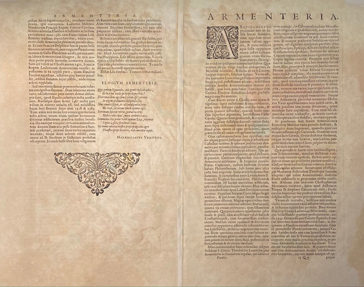
Descriptive text on the back in Latin.
At the subject: 390 x 490
Sheet: 485 x 595
Etching in old colors on laid paper.
Descriptive text on the back in Latin.
At the subject: 390 x 490
Sheet: 485 x 595
250 €
Period: 17th century
Style: Other Style
Condition: Estampe à grandes marges, pli median usuel, rousseurs uniformes, deux taches brunes dans la marge gauche n'affectant pas le sujet, courte déchirure dans la marge du haut au niveau de l'onglet .
Width: 595 mm
Height: 485 mm
Reference (ID): 845823
Availability: In stock
Print