Old Maps Of The Continents And The World
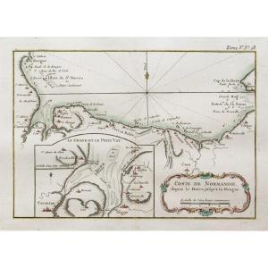
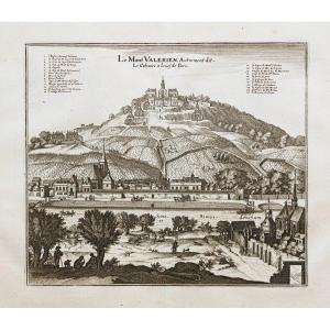
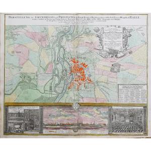
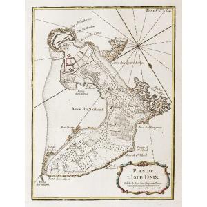
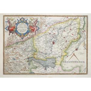
7 épreuves originales réalisées en 1775. Rigobert Bonne Auteur.
Limites colorées de l’époque.
Fines rousseurs claires dans les marges et traces de trous de ver rebouchées dans le bas des cartes de l’Amérique du Nord et du Sud.
Bon état.
Format feuille : 51 x 38,5 cm.
Format gravure : 46 x 36 cm.
Original antique map of 1775.
Collection complète des 5 continents, de la mappemonde et de la projection de Ptolemée. Cartouche de titre allégorique. Echelle des lieux. A Paris, chez Lattré éditeur, avec privilège du Roy.
Vous pouvez consulter l’ensemble des cartes, livres et gravures disponibles sur votre région en cliquant sur le lien de notre site internet spécialisé en archives anciennes géographiques :
https://cartes-livres-anciens.com/categorie-produit/cartes-geographiques-anciennes-original-antique-maps/monde-cartes-marines/continents/
Règlement sécurisé par carte bancaire sur notre site internet en cliquant sur le lien ci-dessous :
https://cartes-livres-anciens.com/produit/cartes-geographiques-anciennes-original-antique-maps/monde-cartes-marines/mappemonde/cartes-anciennes-des-continents-et-du-monde-2/
Toutes nos cartes et gravures sont accompagnées d’un certificat d’authenticité.
Rigobert Bonne (1727-1795) est un ingénieur hydrographe et cartographe français du 18ème siècle.
Né dans les Ardennes à Raucourt en 1727, il succède en 1775 à Giovanni Rizzi-Zannoni comme cartographe du Roi de France au Service Hydrographique de la Marine (le Dépôt des cartes et plans de la Marine est créé sur ordre du Roi Louis XV en 1720).
Vers 1780, il définit précisément la projection qui portera alors son nom : la Projection de Bonne.
Il meurt à Paris en 1795, son fils Charles-Marie Rigobert dit le Chevalier Bonne (25 juin 1771 – 23 novembre 1839), poursuivra son œuvre.
Seven original proofs made in 1775. Rigobert Bonne, author. Contemporary colored borders. Fine light foxing in the margins and traces of filled wormholes at the bottom of the maps of North and South America. Good condition. Sheet size: 51 x 38.5 cm. Image size: 46 x 36 cm. Original antique map of 1775. Complete collection of the five continents, the world map, and the Ptolemaic projection. Allegorical title cartouche. Scale of locations. Published in Paris by Lattré, with royal privilege. You can view all the maps, books, and engravings available for your region by clicking on the link to our website specializing in antique geographical archives: https://cartes-livres-anciens.com/categorie-produit/cartes-geographiques-anciennes-original-antique-maps/monde-cartes-marines/continents/ Secure payment by credit card is available on our website by clicking on the link below: https://cartes-livres-anciens.com/produit/cartes-geographiques-anciennes-original-antique-maps/monde-cartes-marines/mappemonde/cartes-anciennes-des-continents-et-du-monde-2/ All our maps and engravings come with a certificate of authenticity. Rigobert Bonne (1727-1795) was an 18th-century French hydrographic engineer and cartographer. Born in Raucourt in the Ardennes... In 1727, he succeeded Giovanni Rizzi-Zannoni as cartographer to the King of France at the Hydrographic Service of the Navy (the Depot of Maps and Plans of the Navy was created on the order of King Louis XV in 1720). Around 1780, he precisely defined the projection that would then bear his name: the Bonne Projection. He died in Paris in 1795, his son Charles-Marie Rigobert known as the Chevalier Bonne (June 25, 1771 – November 23, 1839), continued his work.
3 000 €
Period: 18th century
Style: Other Style
Condition: Good condition
Material: Paper
Reference (ID): 1647444
Availability: In stock
Print