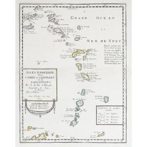
19th-century Map By Thomson: West India Islands, Martinique, Dominica
Artist: Thomson John ( Ca. 1777-ca.1840 ) Editeur Et Cartographe
Map of the islands of Martinique and Dominica, with an enlarged detail of “Cul de Sac Royal” (now known as Fort-de-France Bay).
Published by cartographer John Thomson around 1814–1817 and engraved by Kirkwood from the “New General Atlas.”
Fine print in original colors, with full margins, slightly yellowed along the outer edges, with the usual center fold.
- Technique: Watercolor etching
- Image width: 640.00
- Image height: 543.00
- Sheet width: 690.00
- Sheet height: 545.00
280 €
Period: 19th century
Style: Other Style
Condition: Good condition
Material: Paper
Width: 690 mm
Height: 545 mm
Reference (ID): 1800325
Availability: In stock
Print