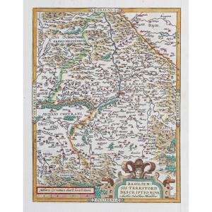
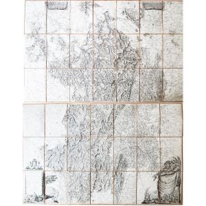
18th-century Map: Reduced Map Of The Western Coast Of Africa (sic)
Artist: Bellin Jacques-nicolas ( 1703-1772 ) Cartographe
Large and beautiful map covering the region from the equator to 20° south latitude, including the coasts of Angola, the Congo, and Loango.
Typical central fold, two yellow halos, and a foxing spot.
ca. 1765
- Technique: Etching
- Copper width: 580.00
- Copper height: 920.00
- Sheet width: 640.00
- Sheet height: 930.00
230 €
Period: 18th century
Style: Other Style
Condition: Good condition
Material: Paper
Width: 640 mm
Height: 920 mm
Reference (ID): 1802484
Availability: In stock
Print