

Original Antique Road Map Of France From 1838
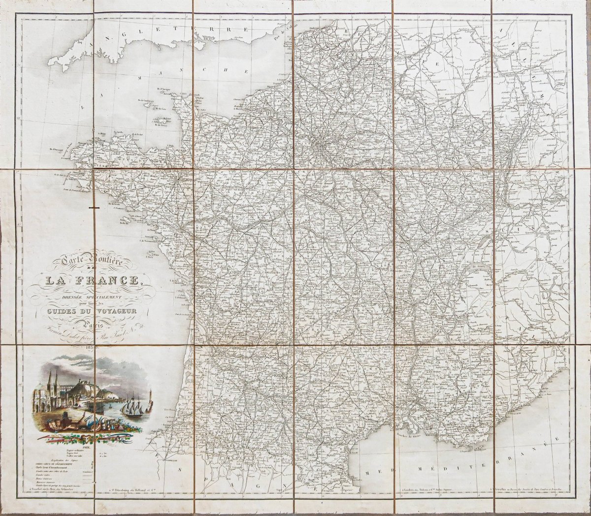
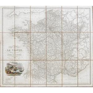
Original map produced in 1838. Published by Firmin Didot.
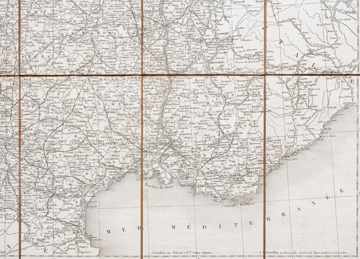
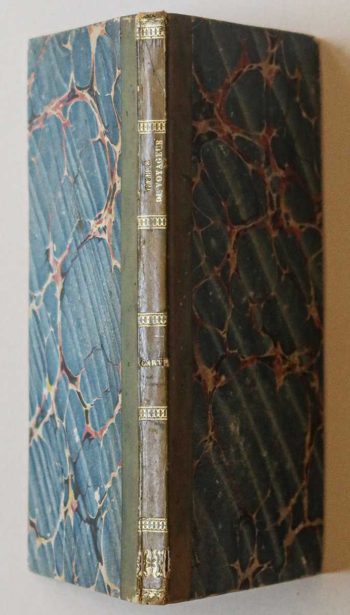
Period map mounted on canvas in 18 sections, bound.
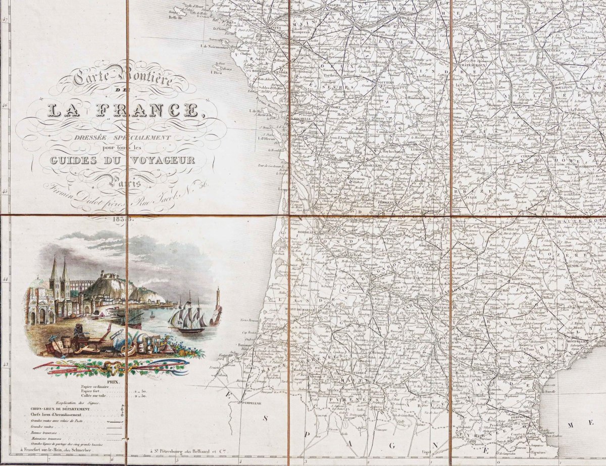
Watercolor cartouche.
Two wormholes, one of which is more pronounced in the sea off the coast of Brittany.
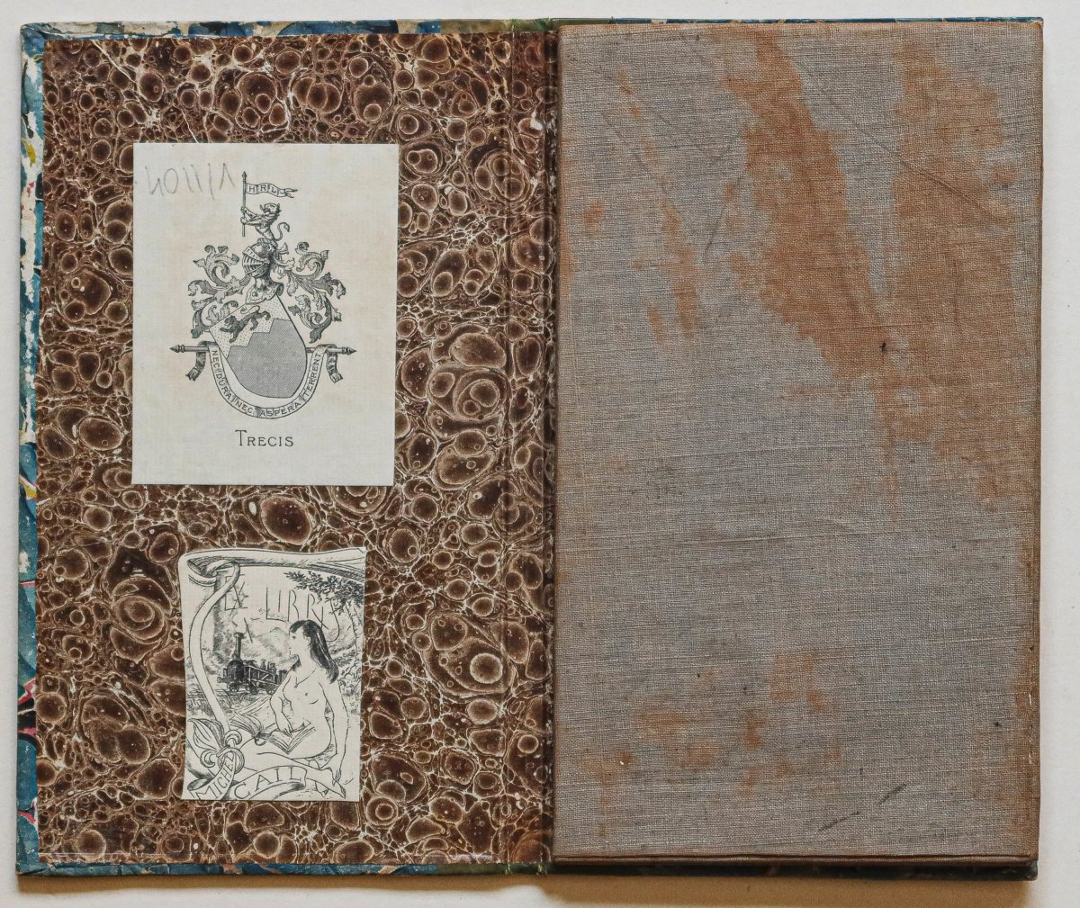
The upper spine of the binding is split 1 cm.
Very good condition.
Map size: 72 x 63 cm.
Binding size: 22 x 12.5 cm.
Road map of France compiled specifically for all travelers’ guides.
You canview all the maps and engravings available for your region byclicking the link on our website specializing inhistorical geographical archives: https://cartes-livres-anciens.com/categorie-produit/cartes-geographiques-anciennes-original-antique-maps/france/france-generale/
Secure paymentby credit card on our website by clicking the link: https://cartes-livres-anciens.com/produit/cartes-geographiques-anciennes-original-antique-maps/france/france-generale/carte-routiere-de-la-france/
Allof our maps and engravings come with a certificate of authenticity.
Period map mounted on canvas in 18 sections, bound.
Watercolor cartouche.
Two wormholes, one of which is more pronounced in the sea off the coast of Brittany.
The upper spine of the binding is split 1 cm.
Very good condition.
Map size: 72 x 63 cm.
Binding size: 22 x 12.5 cm.
Road map of France compiled specifically for all travelers’ guides.
You canview all the maps and engravings available for your region byclicking the link on our website specializing inhistorical geographical archives: https://cartes-livres-anciens.com/categorie-produit/cartes-geographiques-anciennes-original-antique-maps/france/france-generale/
Secure paymentby credit card on our website by clicking the link: https://cartes-livres-anciens.com/produit/cartes-geographiques-anciennes-original-antique-maps/france/france-generale/carte-routiere-de-la-france/
Allof our maps and engravings come with a certificate of authenticity.
285 €
Period: 19th century
Style: Other Style
Condition: Excellent condition
Material: Paper
Reference (ID): 1802886
Availability: In stock
Print