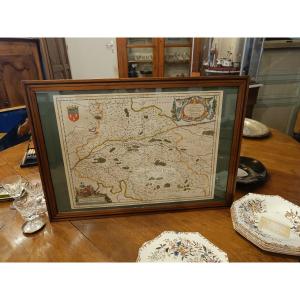


A 17th-century Watercolor Map Of Touraine By Blaeu, Framed
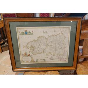
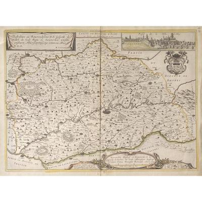
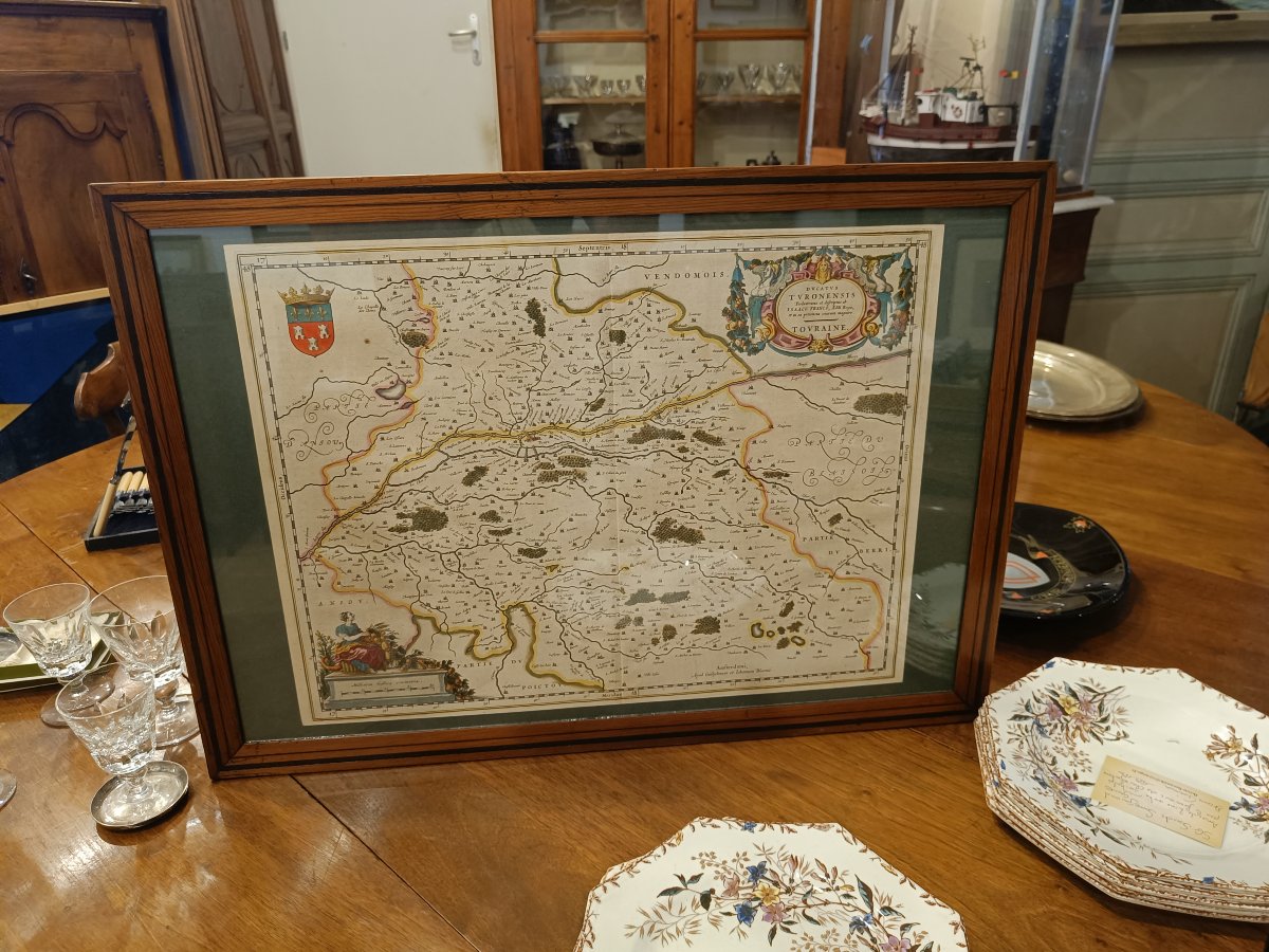
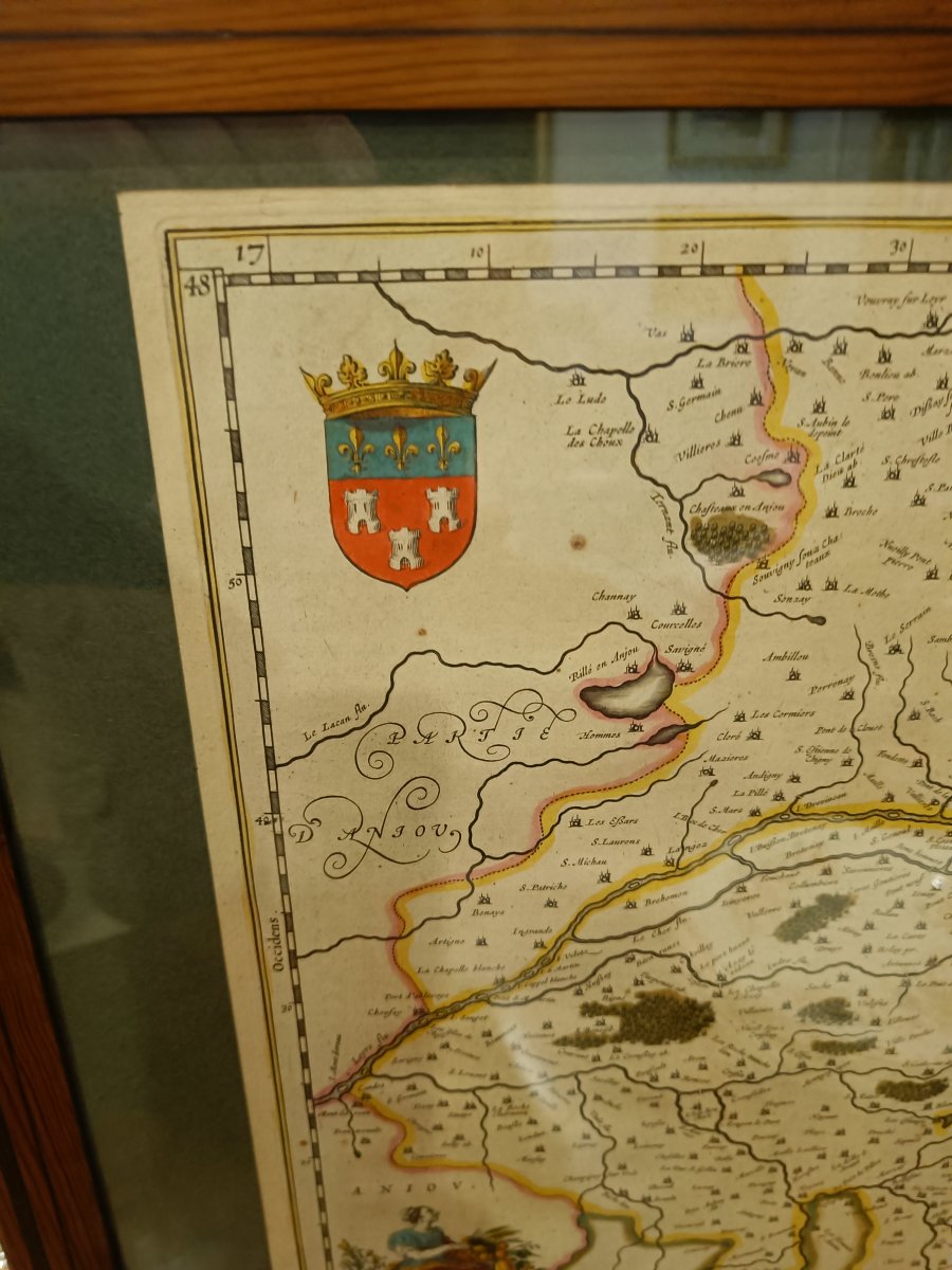
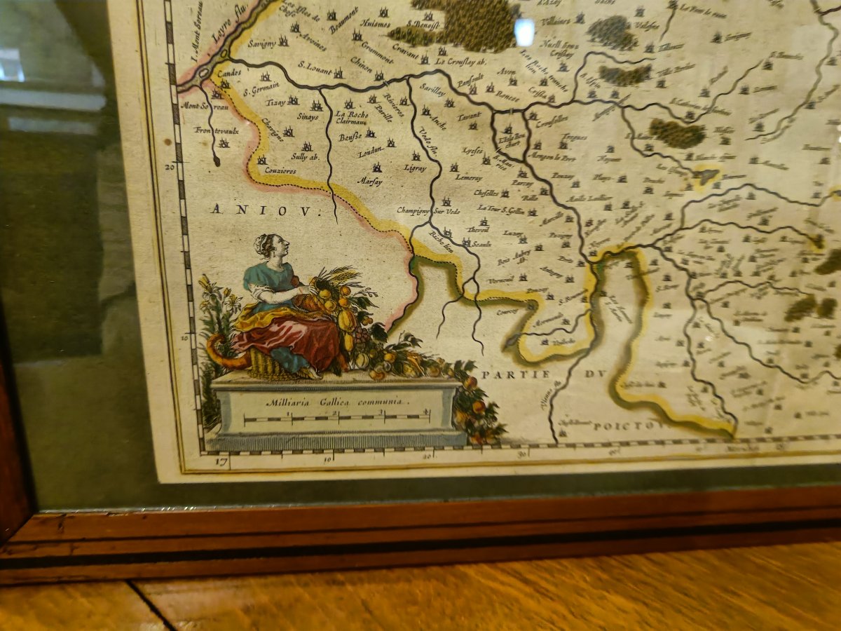
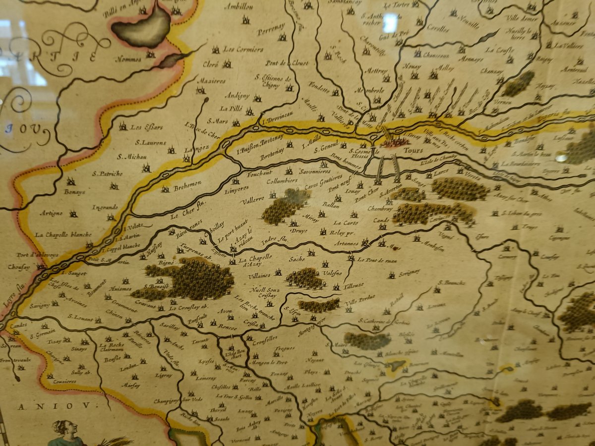
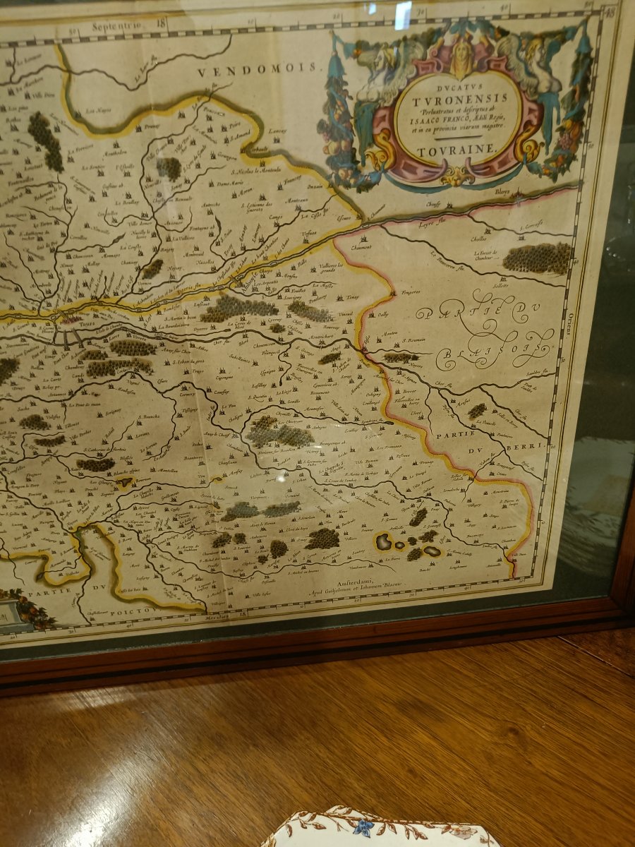
A framed 17th-century watercolor map depicting the Duchy of Touraine ("Ducatus Turonensis"), originally drawn by the architect Isaac FRANCO and published by Willem and Joan BLAEU.
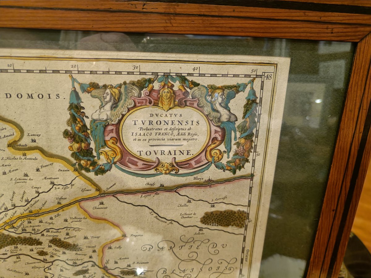
Large cartouche with the inscription “Ducatus Turonensis perlustratus et descriptus ab Isaaco Franco, aedili regio, et in ae provincia viarum magistro, Touraine,” the beautiful coat of arms of Touraine, and elaborate decorative elements at the bottom.
Pitchpin frame, 67 cm x 47.5 cm
Large cartouche with the inscription “Ducatus Turonensis perlustratus et descriptus ab Isaaco Franco, aedili regio, et in ae provincia viarum magistro, Touraine,” the beautiful coat of arms of Touraine, and elaborate decorative elements at the bottom.
Pitchpin frame, 67 cm x 47.5 cm
550 €
Period: 17th century
Style: Other Style
Condition: Good condition
Reference (ID): 1826625
Availability: In stock
Print