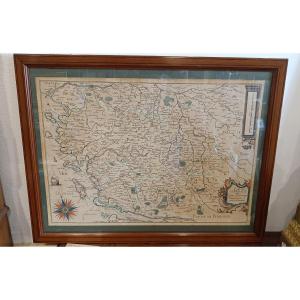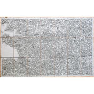
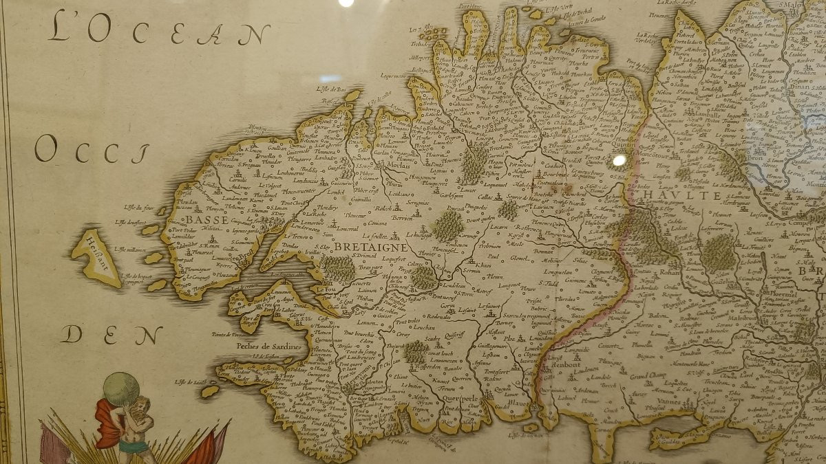

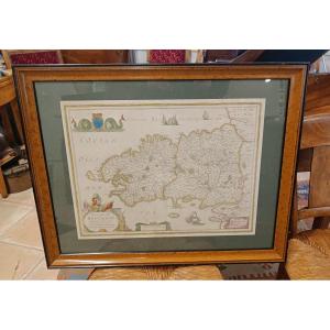


Framed 17th Century Map Of Brittany, Hondius
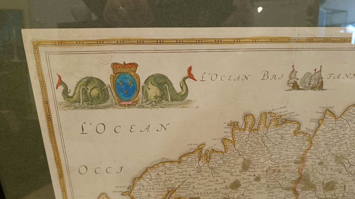
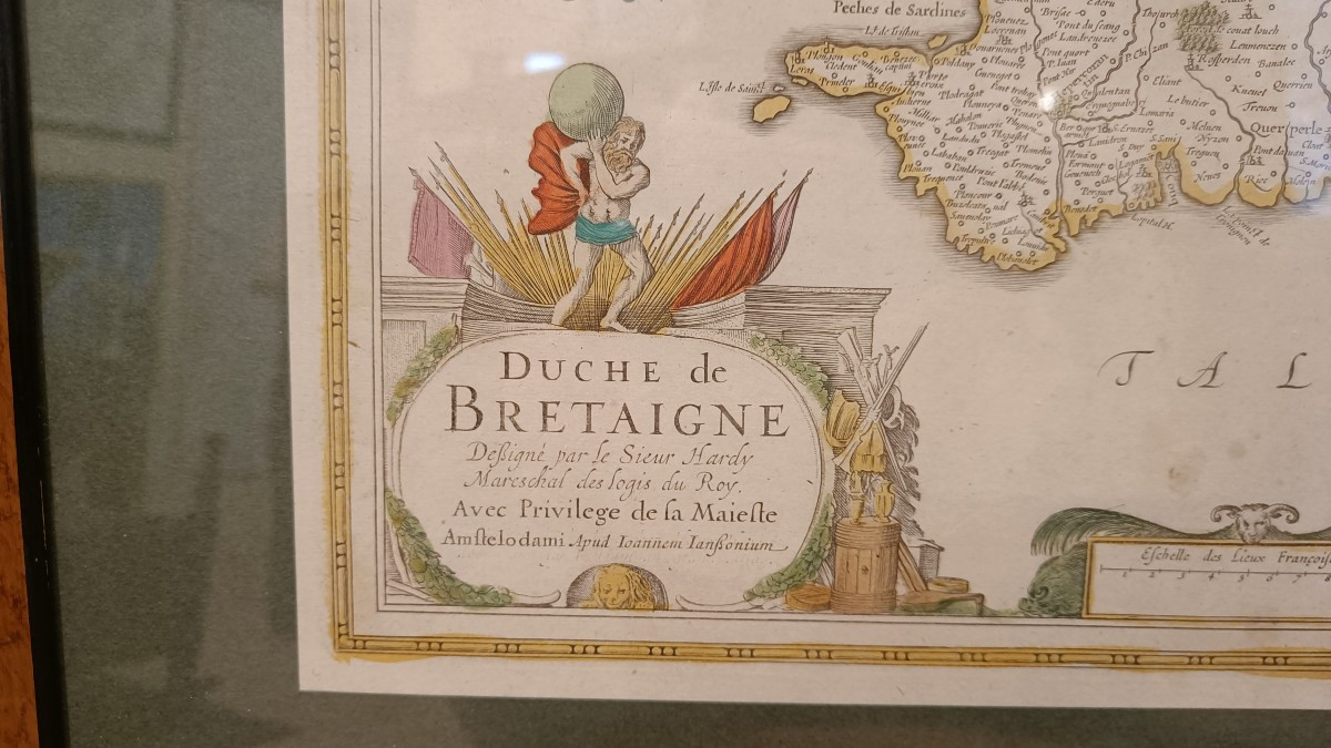
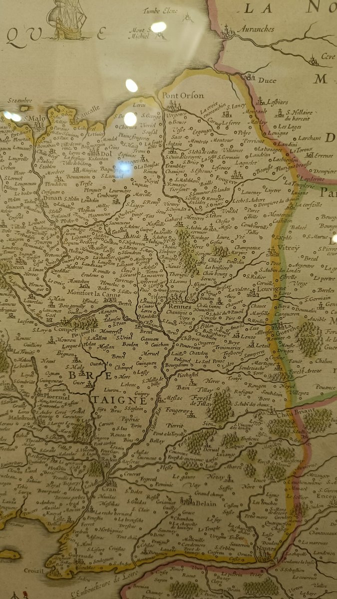
Beautiful framed 17th century map of the Duchy of Brittany "Duchy of Brittany, signed by Sieur Hardy mareschal des logis du Roy, with privilege of the maieste", by Hondius.
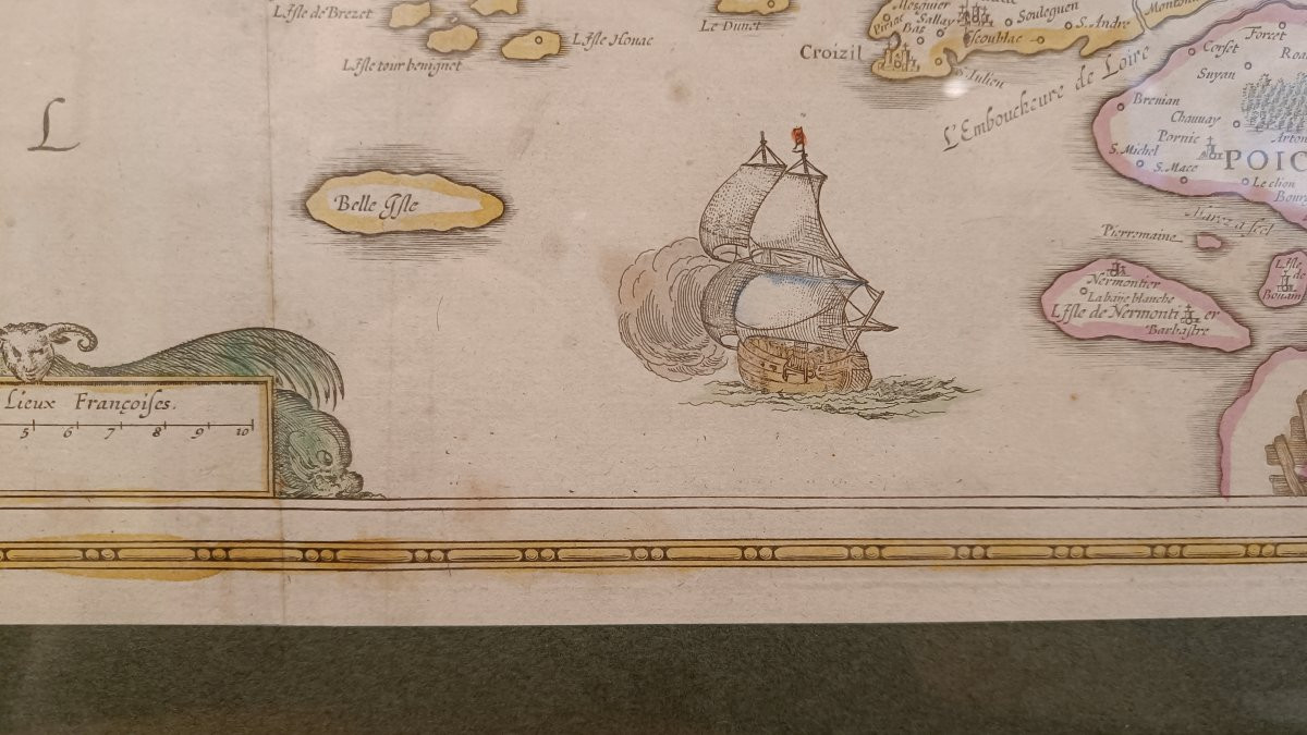
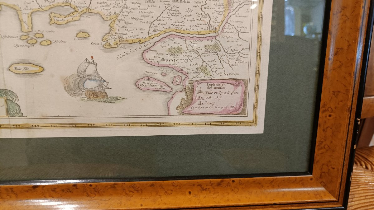
Original colors with beautiful decorations of cartouches, boats, coat of arms and sea monsters.
Modern frame of fine quality 71 cm x 57 cm
Original colors with beautiful decorations of cartouches, boats, coat of arms and sea monsters.
Modern frame of fine quality 71 cm x 57 cm
680 €
Period: 17th century
Style: Other Style
Condition: Good condition
Material: Paper
Width: 52 cm
Height: 40 cm
Reference (ID): 1736352
Availability: In stock
Print