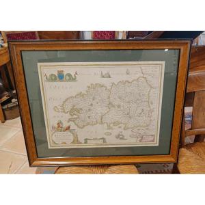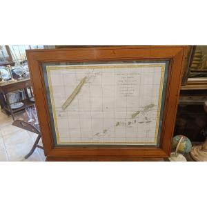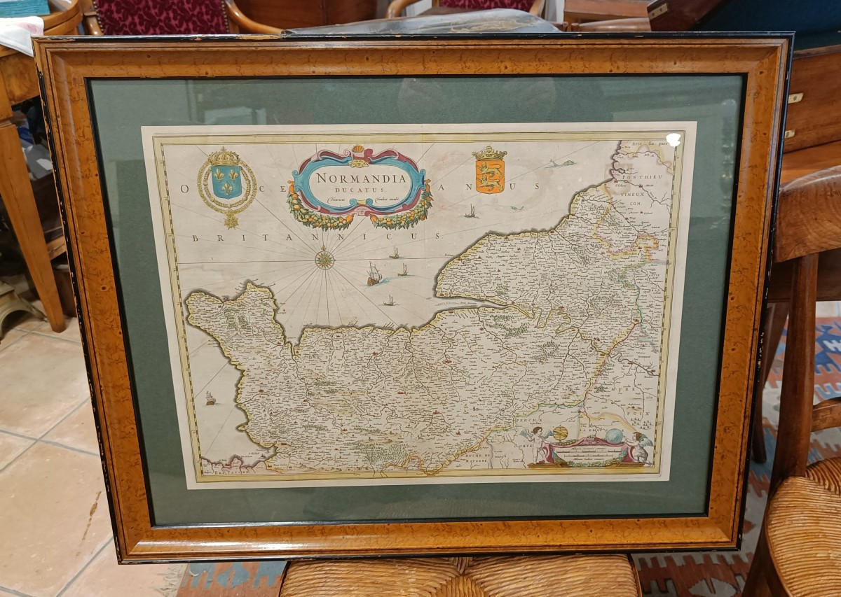
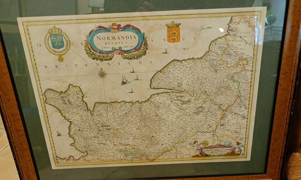


Framed 17th Century Map Of Normandy, Hondius
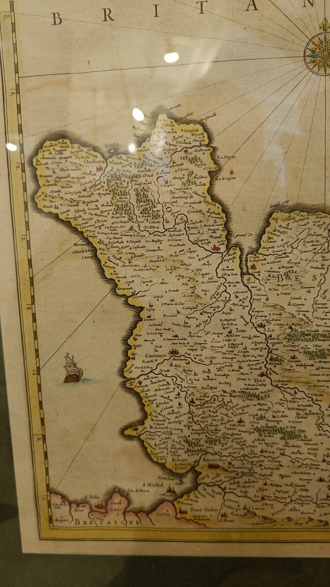
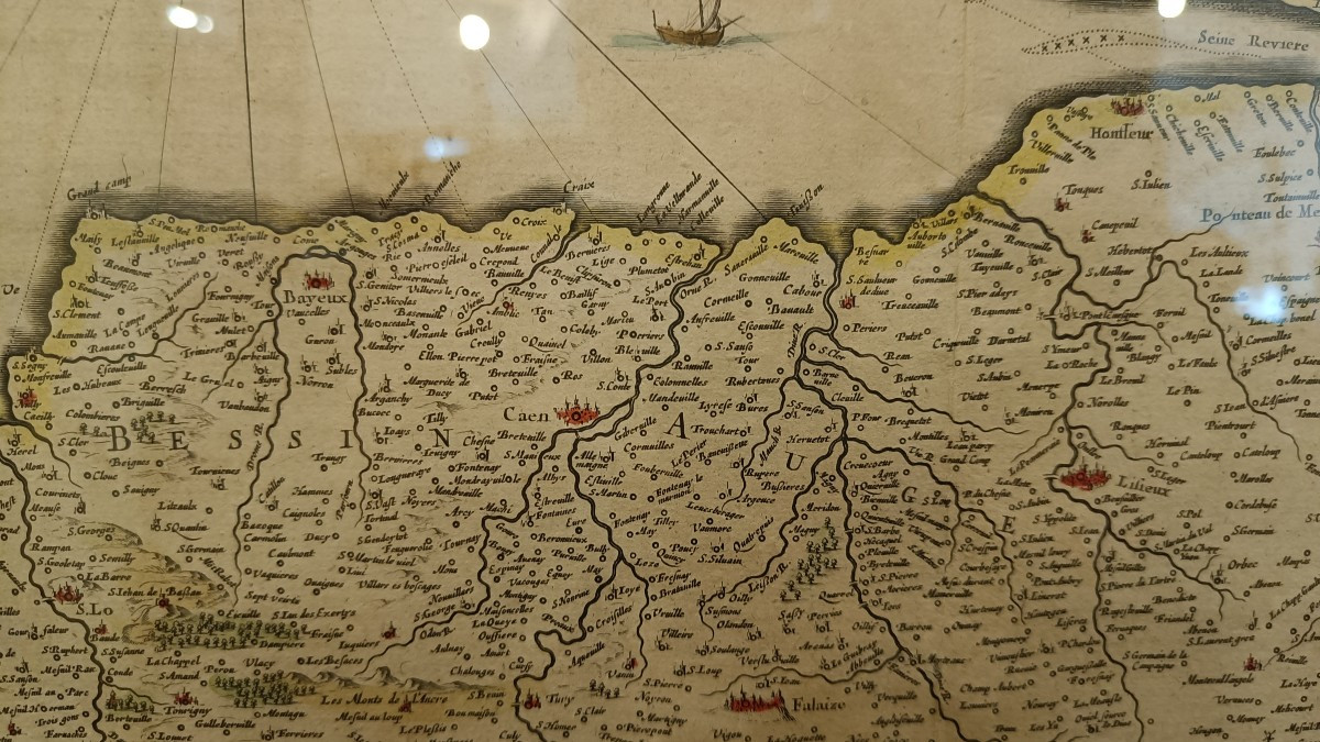
Beautiful 17th century period map of the Duchy of Normandy by Hondius.
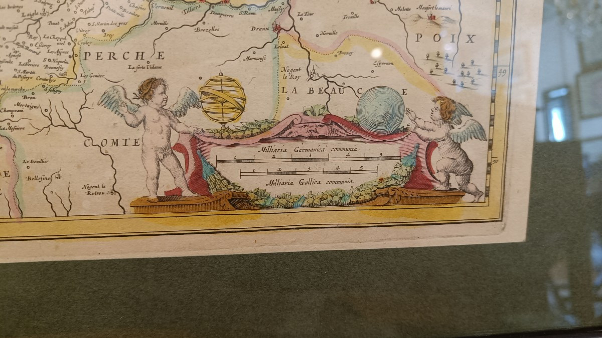
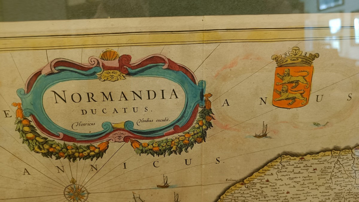
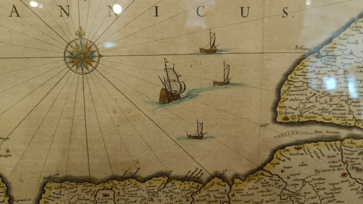
Original colors with various decorations of cartouches, coats of arms, boats and compass roses.
Fine quality modern frames : 71 cm x 57 cm
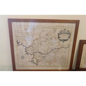
Original colors with various decorations of cartouches, coats of arms, boats and compass roses.
Fine quality modern frames : 71 cm x 57 cm
680 €
Period: 17th century
Style: Other Style
Condition: Good condition
Material: Paper
Width: 55 cm
Height: 40 cm
Reference (ID): 1736349
Availability: In stock
Print