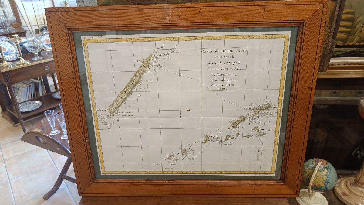


18th-century Watercolor Map Of New Caledonia, From Cook’s 1774 Voyage
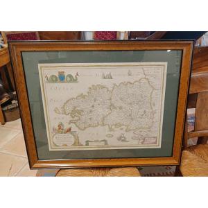
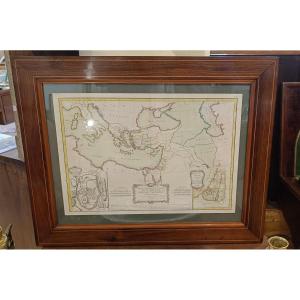
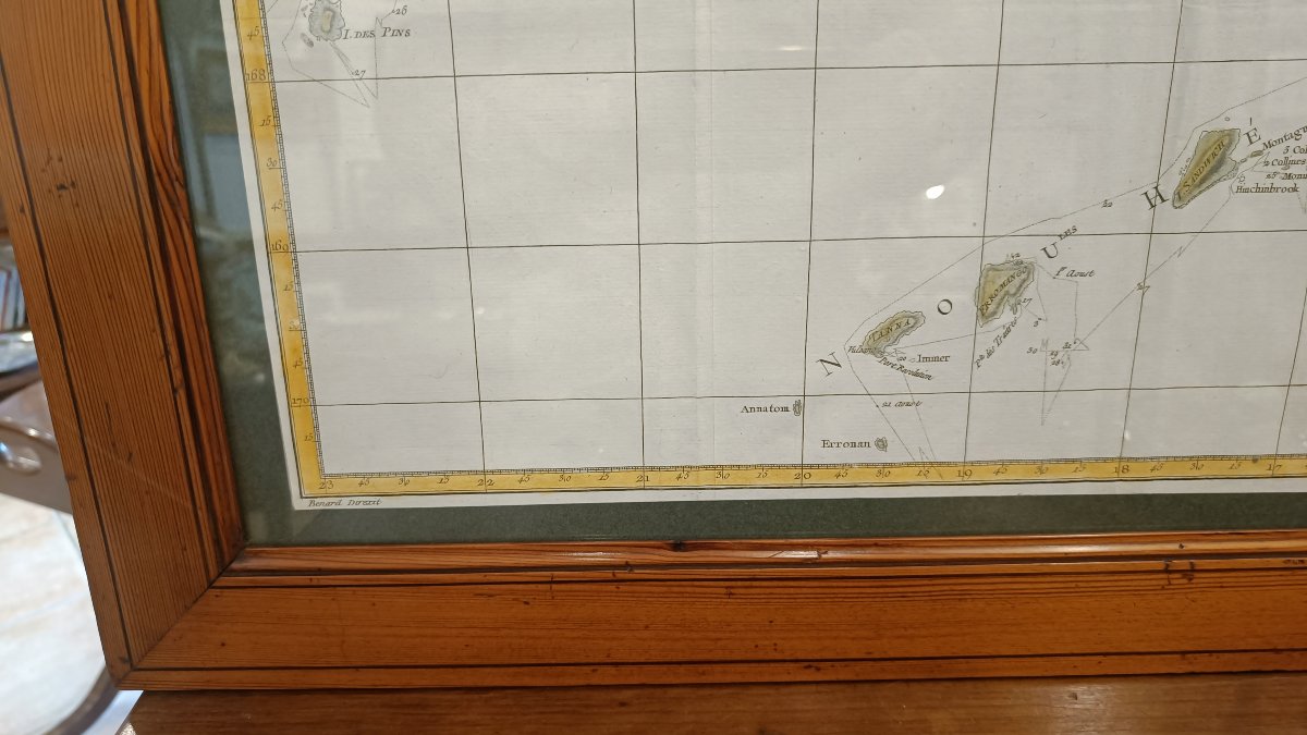
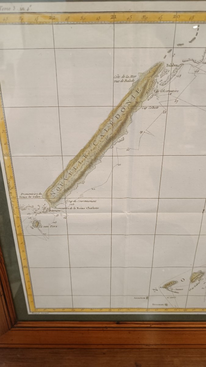
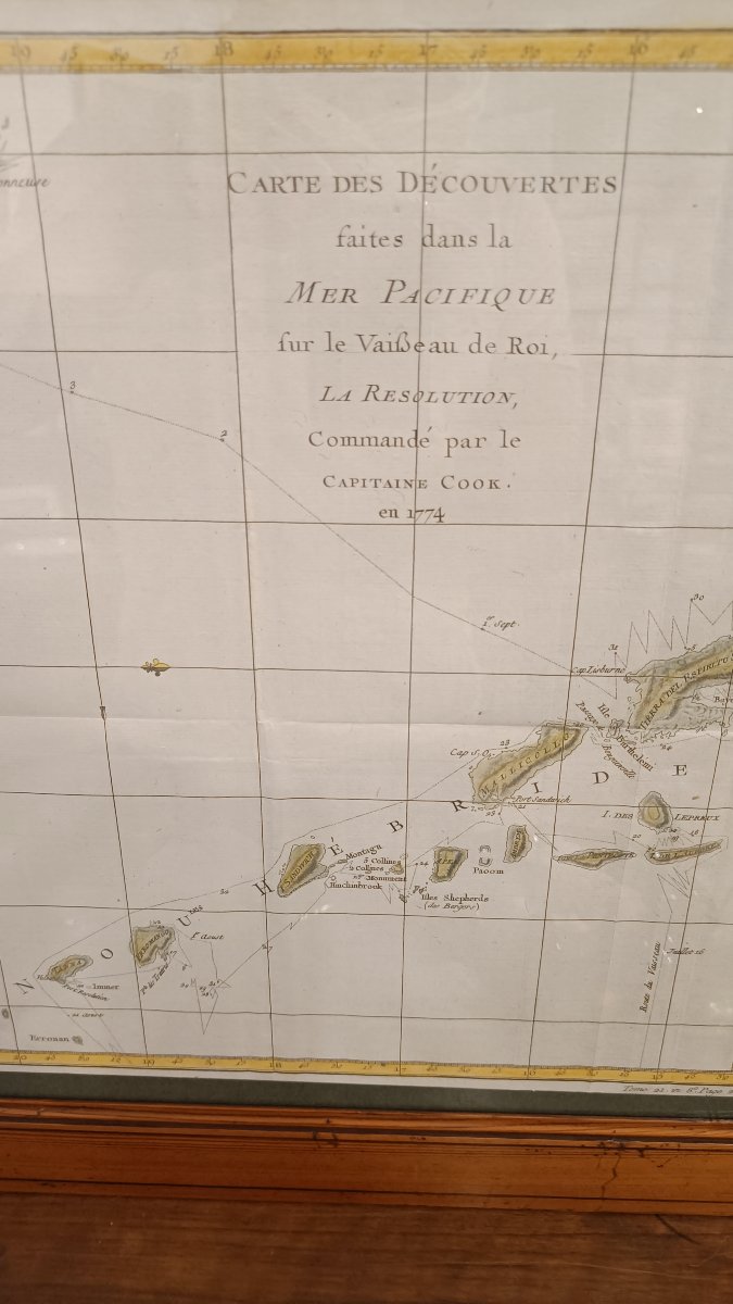
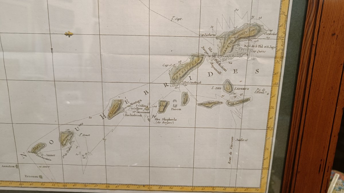
18th-century watercolor map of New Caledonia and the New Hebrides showing the route of Captain Cook’s voyage aboard *La Résolution* in 1774
"Map of the discoveries made in the Pacific Ocean aboard the royal vessel,La Résolution, commanded by Captain Xook in 1774"
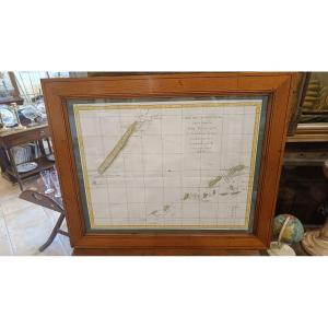
Beautiful colors, 19th-century pitchpine frame, 61 cm x 50 cm
"Map of the discoveries made in the Pacific Ocean aboard the royal vessel,La Résolution, commanded by Captain Xook in 1774"
Beautiful colors, 19th-century pitchpine frame, 61 cm x 50 cm
420 €
Period: 18th century
Style: Other Style
Condition: Excellent condition
Material: Paper
Width: 47 cm
Height: 37 cm
Reference (ID): 1794158
Availability: In stock
Print