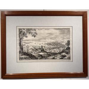


Map Of The Mediterranean Sea From Marseille To Les Lecques, 18th Century
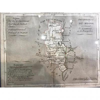
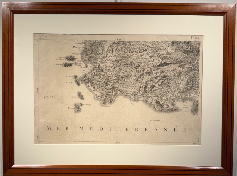
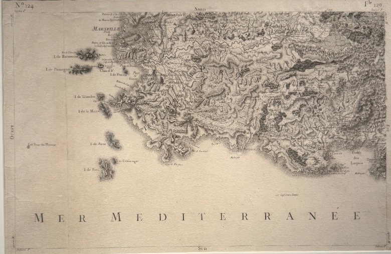
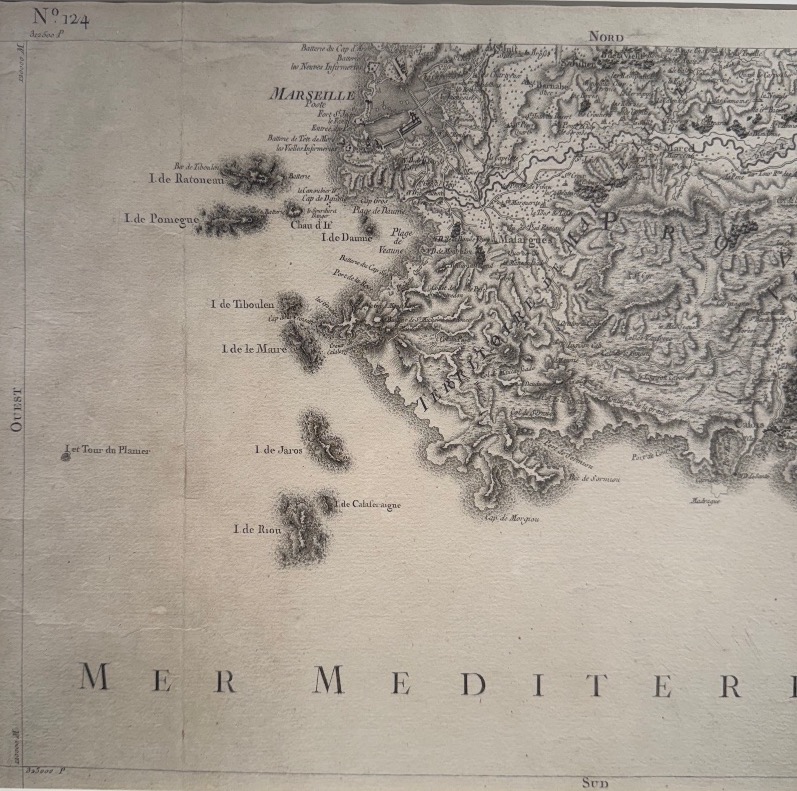
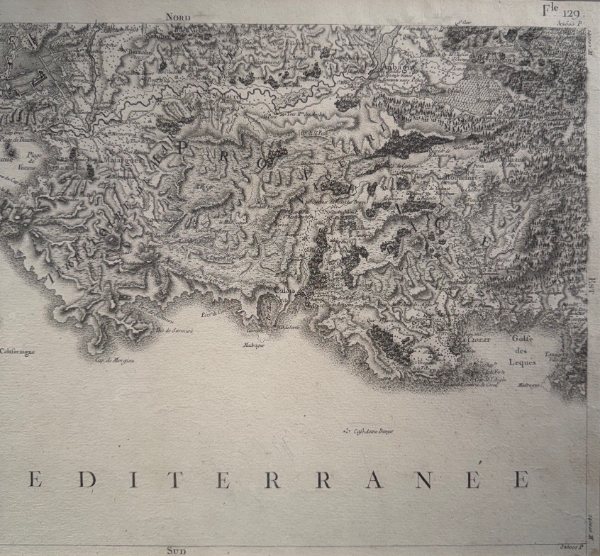
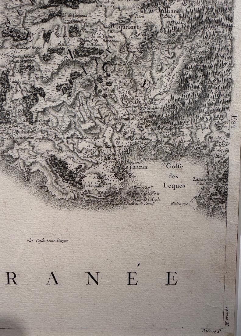
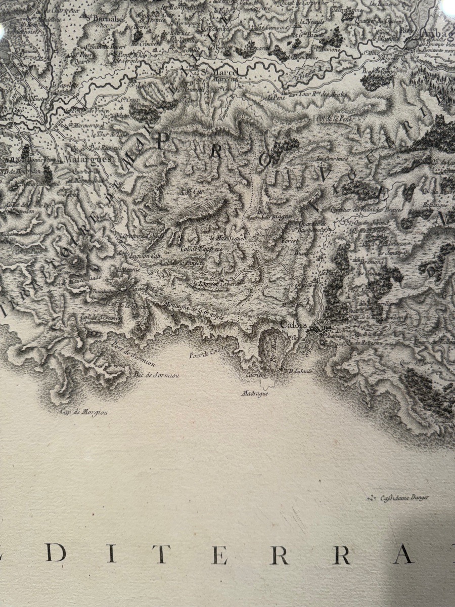
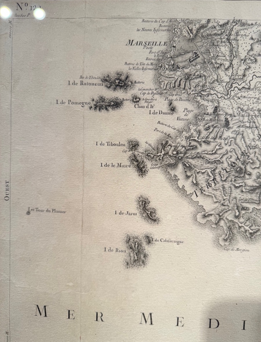
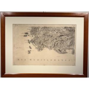
Map of the coast between Marseille and Les Lecques.
It features the cities of Marseille, Cassis, La Ciotat, Aubagne, Gémeaux, and all the islands along the coast: Ratonneau, Pomegue, Tiboulen, Maire, Jarre, Riou, Île Verte, etc...
Dated to the late 18th century
Dimensions: 30 x 46 cm
Framed in pitchpine
It features the cities of Marseille, Cassis, La Ciotat, Aubagne, Gémeaux, and all the islands along the coast: Ratonneau, Pomegue, Tiboulen, Maire, Jarre, Riou, Île Verte, etc...
Dated to the late 18th century
Dimensions: 30 x 46 cm
Framed in pitchpine
850 €
Period: 18th century
Style: Other Style
Condition: Excellent condition
Material: Paper
Width: 46
Height: 30
Reference (ID): 1796146
Availability: In stock
Print