

A 17th-century Watercolor Map Of The Saintonge And Angoumois Regions By Willem Blaeu, Framed, Circa 1644
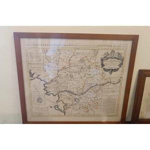
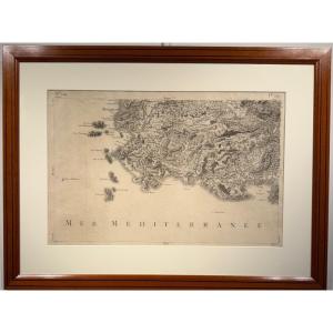
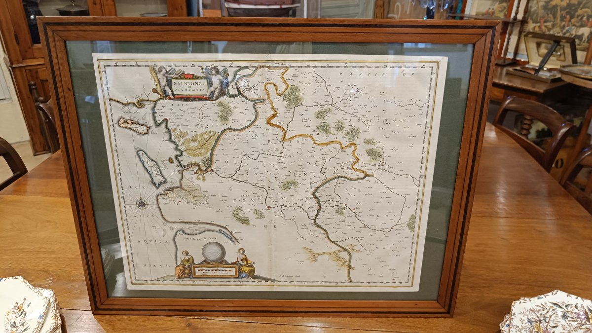
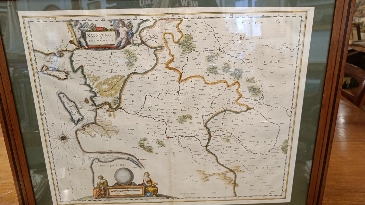
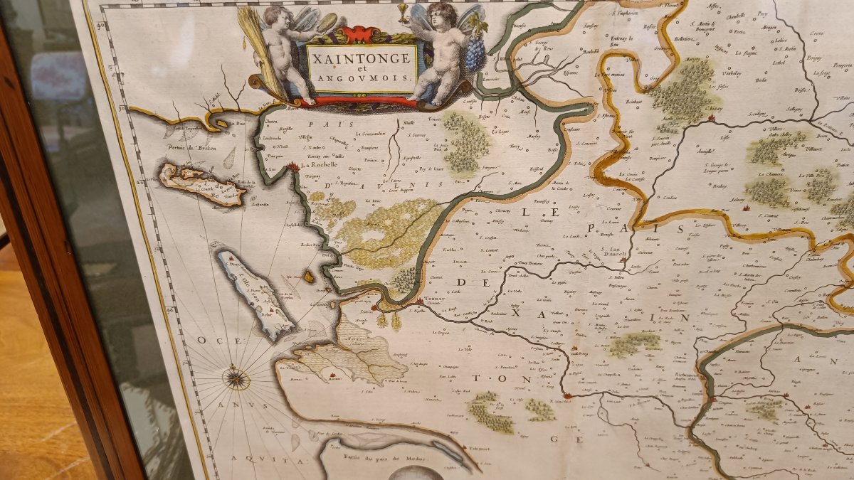
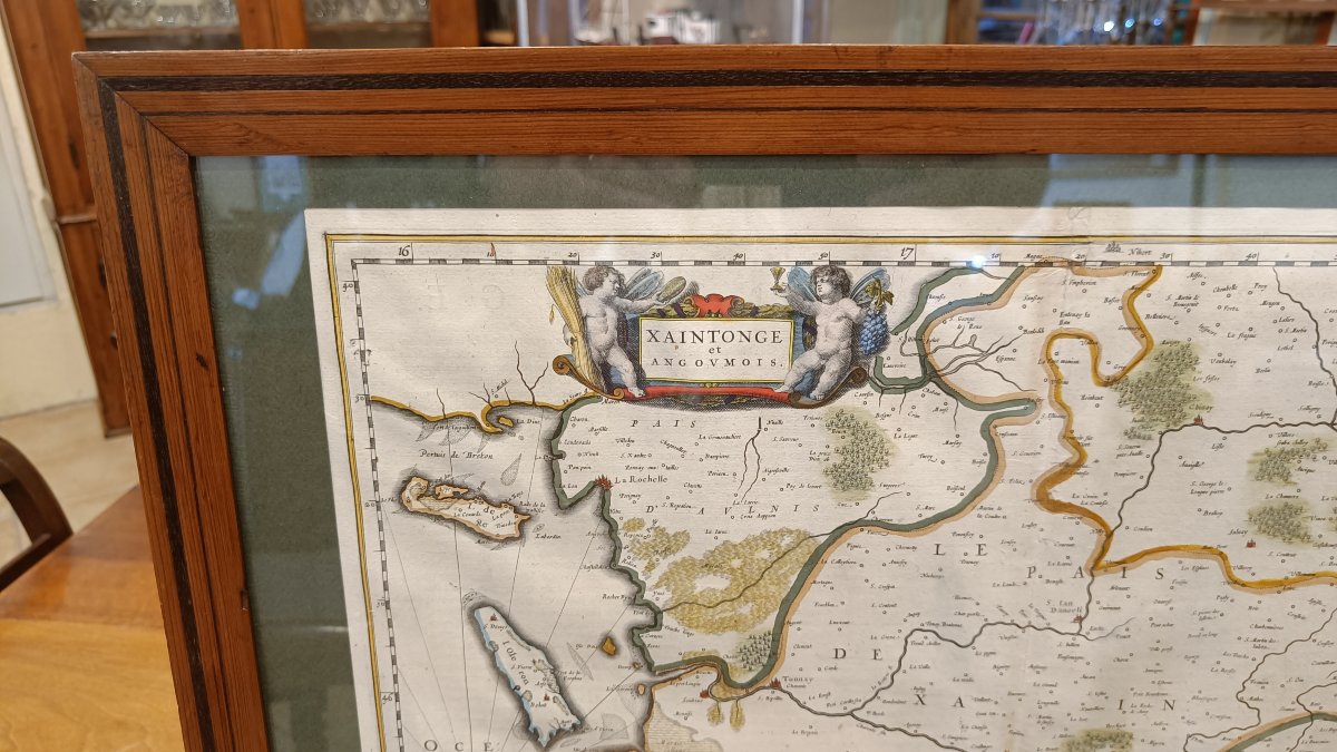
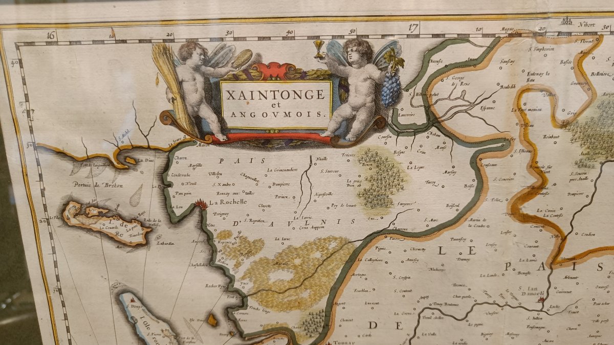
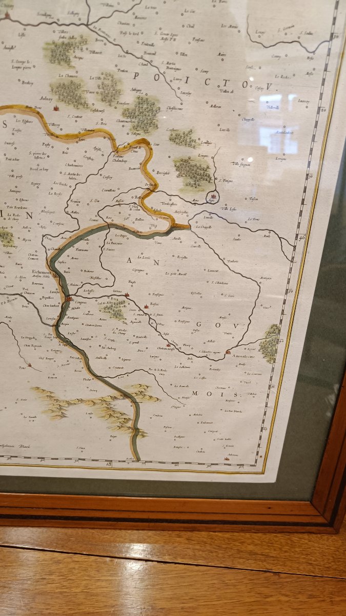
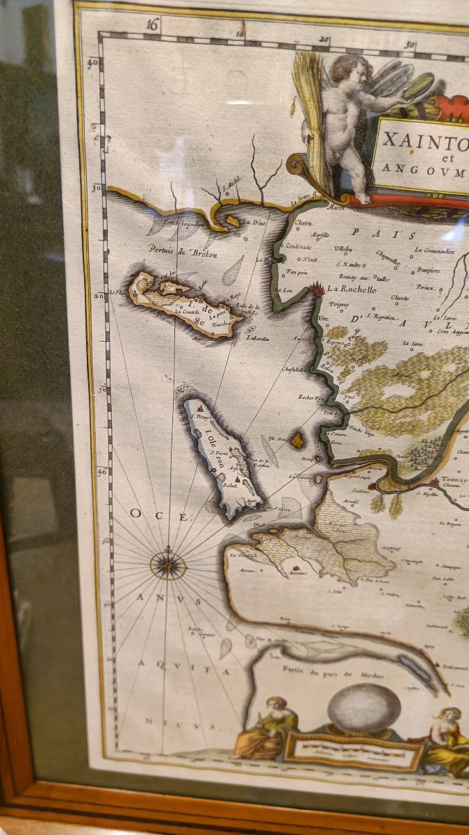
A 17th-century watercolor map depicting "Xaintonge and Angoumois," engraved by the Dutch cartographer Willem Blaeu around 1644, showing part of the western coast of France, north of Bordeaux, including the Île de Ré and the Île d’Oléron.
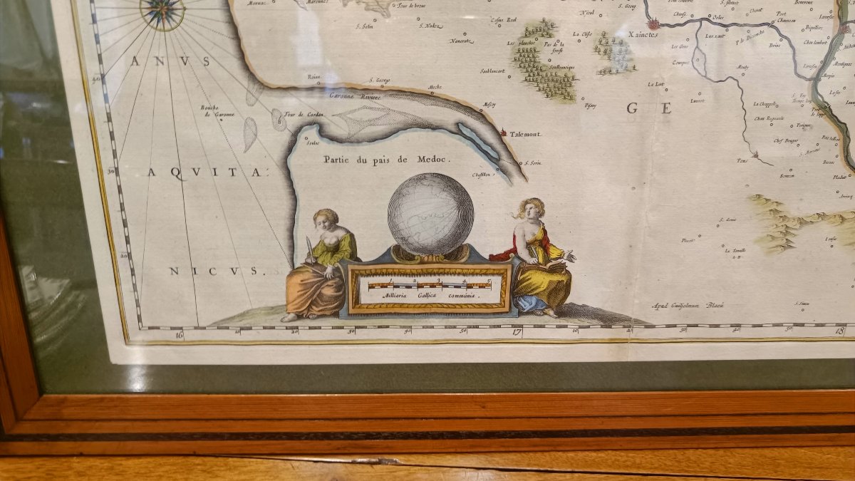
Two large cartouches feature cherubs surrounded by grapes and wheat, as well as two women accompanied by a globe.
19th-century Pitchpin frame, 65.5 cm x 51 cm
Two large cartouches feature cherubs surrounded by grapes and wheat, as well as two women accompanied by a globe.
19th-century Pitchpin frame, 65.5 cm x 51 cm
550 €
Period: 16th century
Style: Other Style
Condition: Excellent condition
Material: Paper
Width: 50 cm
Height: 40 cm
Reference (ID): 1810822
Availability: In stock
Print