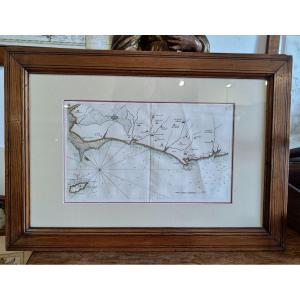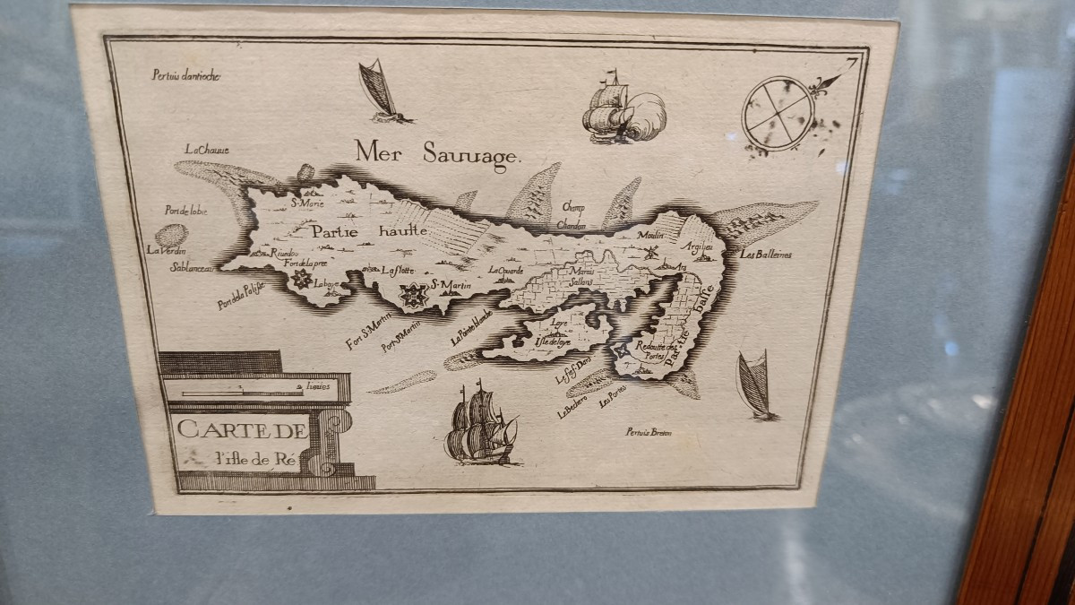


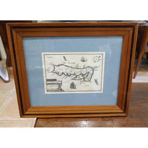


Framed Map Of The Isle Of Ré By Tassin, 1634
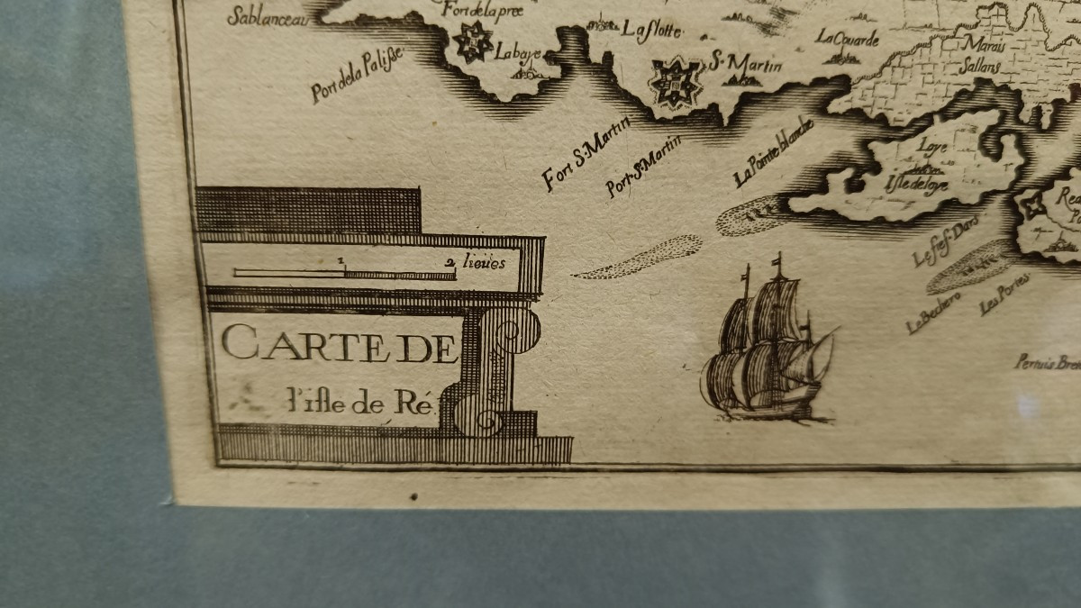
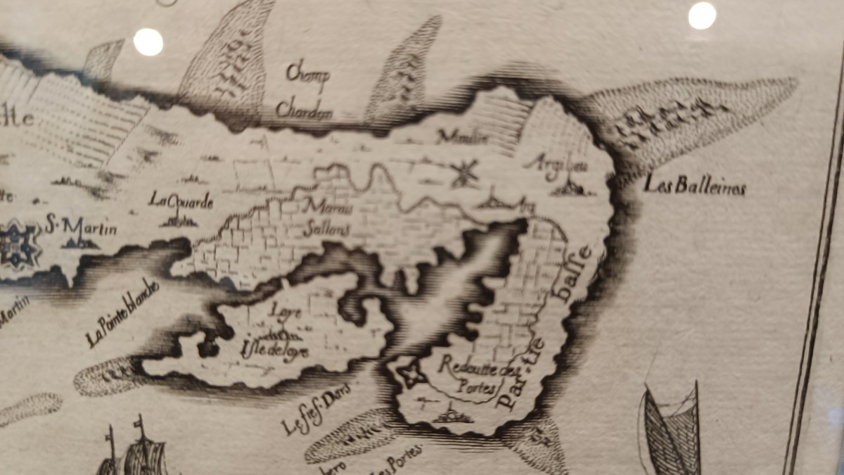
1634 map by Nicolas TASSIN of the Isle of Ré with various decorations: cartouche, 4 boats and compass rose. Beautiful 19th century frame in pitch pine with double fillets.
350 €
Period: 17th century
Style: Other Style
Condition: Excellent condition
Material: Paper
Width: 31 cm
Height: 25 cm
Reference (ID): 1628085
Availability: In stock
Print