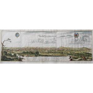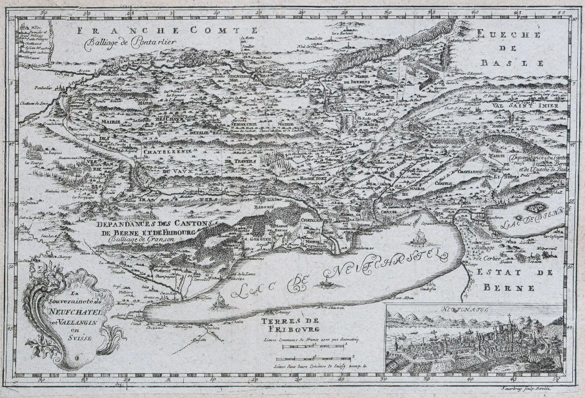
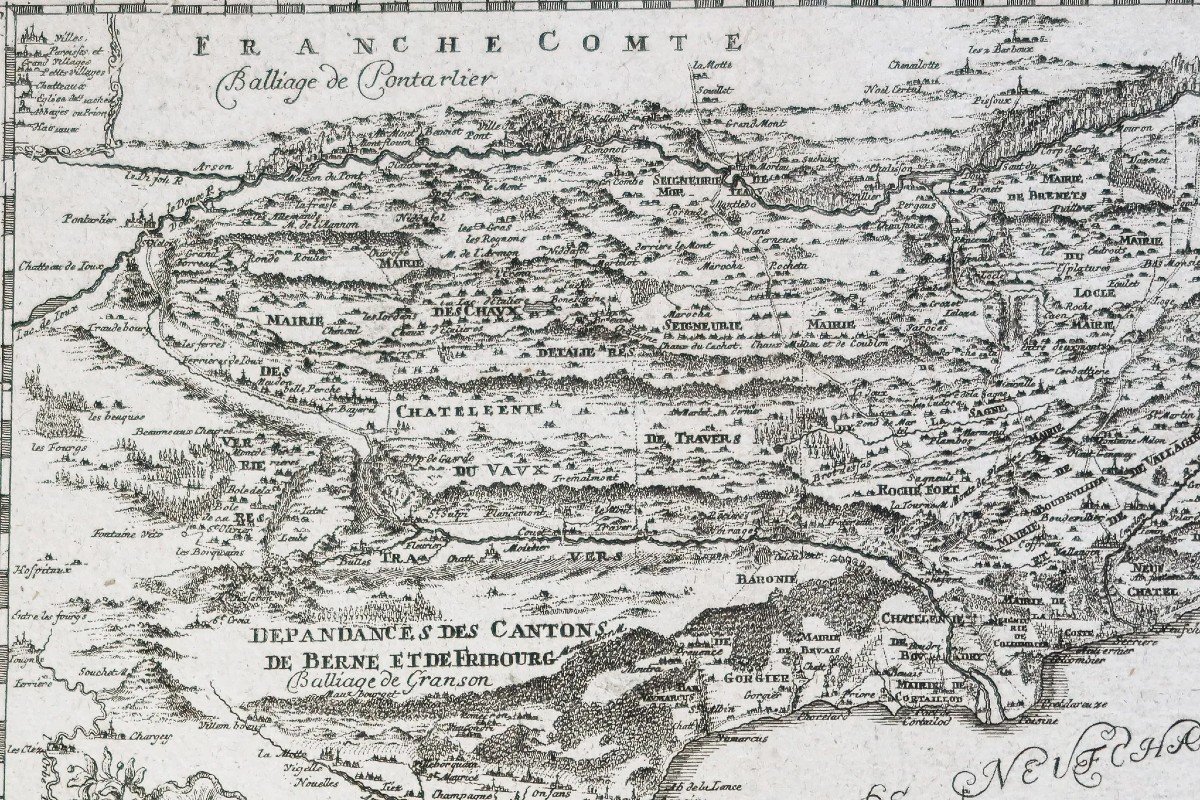
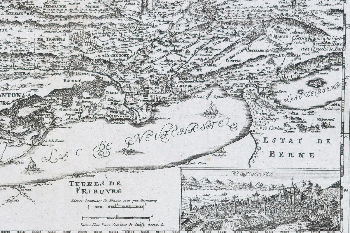
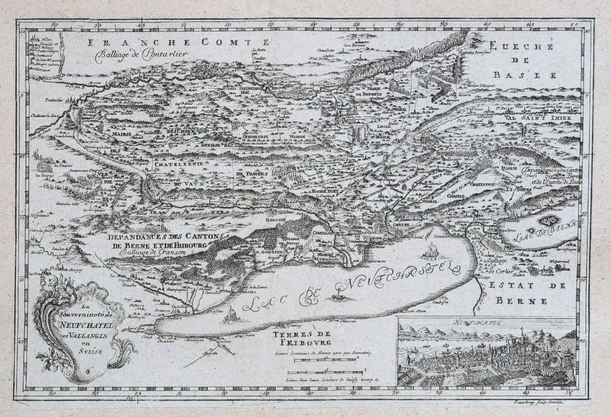
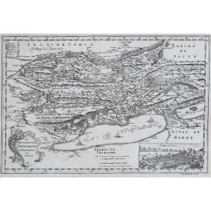


Old Map Of Neufchatel – Vallangin – Switzerland
Original map engraved around 1750. Sauerbery engraver. Formerly lined on Japanese paper. Good condition. Sheet size: 36 x 24.5 cm. Engraving format: 33 x 22.5 cm. Original antique map around 1750. Map illustrated with a title cartouche of a miniature representing the town of Neufchatel, scale of the places. You can consult all the maps and engravings available in your region by clicking on the link to our website specializing in ancient geographical archives: https://cartes-livres-anciens.com/categorie-produit/cartes-gegraphiques-Ancienes -original-antique-maps/europe/suisse/ Secure payment by credit card on our website by clicking on the link: https://cartes-livres-anciens.com/produit/cartes-gegraphiques-Anciens-original-antique- maps/europe/suisse/old-map-of-neufchatel-vallangin-suisse/ All our maps and engravings are accompanied by a certificate of authenticity.
195 €
Period: 18th century
Style: Other Style
Condition: Good condition
Material: Paper
Reference (ID): 1226657
Availability: In stock
Print