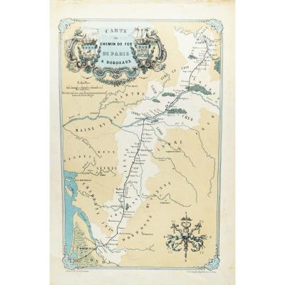
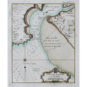
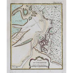
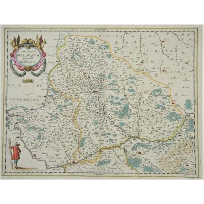
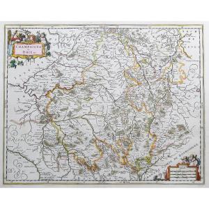
Old Geographical Map Of The Loir Et Cher Department
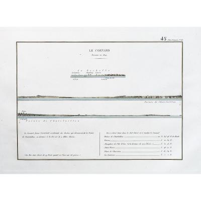
Carte originale gravée en 1860.
Beaux coloris aquarelle.
Très bon état.
Format feuille : 52,5 x 36 cm.
Célèbre édition du milieu du 19ème siècle publiée rue Saint Jacques à Paris, illustrée de commentaires sur les divisions administratives, curiosités, production, commerce et célébrités.
Vous pouvez consulter l’ensemble des cartes et gravures disponibles sur votre région en cliquant sur le lien de notre site internet spécialisé en archives anciennes géographiques :
https://cartes-livres-anciens.com/categorie-produit/cartes-geographiques-anciennes-original-antique-maps/france/centre-val-de-loire/
Règlement sécurisé par carte bancaire sur notre site internet en cliquant sur le lien :
https://cartes-livres-anciens.com/produit/cartes-geographiques-anciennes-original-antique-maps/france/centre-val-de-loire/carte-geographique-ancienne-du-departement-du-loir-et-cher/
Toutes nos cartes et gravures sont accompagnées d’un certificat d’authenticité.
Original map engraved in 1860. Beautiful watercolor colors. Very good state. Sheet size: 52.5 x 36 cm. Famous edition from the mid-19th century published on rue Saint Jacques in Paris, illustrated with comments on administrative divisions, curiosities, production, commerce and celebrities. You can consult all the maps and engravings available in your region by clicking on the link to our website specializing in ancient geographical archives: https://cartes-livres-anciens.com/categorie-produit/cartes-gegraphiques-Ancienes -original-antique-maps/france/centre-val-de-loire/ Secure payment by credit card on our website by clicking on the link: https://cartes-livres-anciens.com/produit/cartes-gegraphiques- old-original-antique-maps/france/centre-val-de-loire/old-geographic-map-of-the-departement-du-loir-et-cher/ All our maps and engravings are accompanied by a certificate of authenticity .
115 €
Period: 19th century
Style: Other Style
Condition: Excellent condition
Material: Paper
Reference (ID): 1241403
Availability: In stock
Print