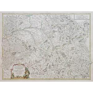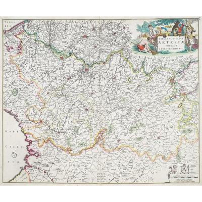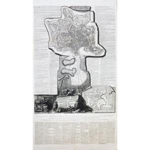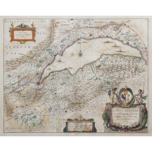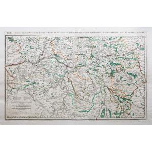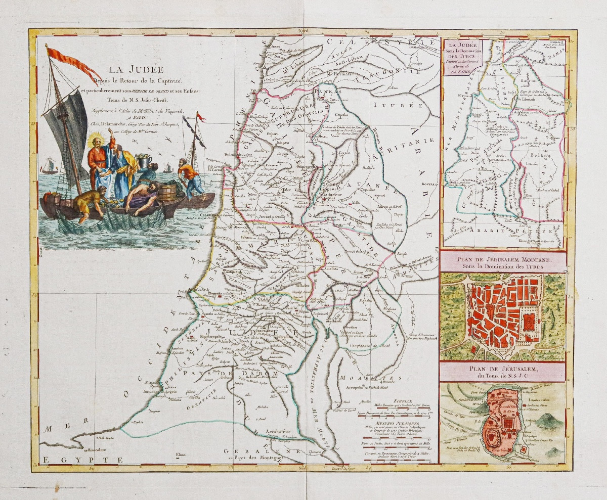
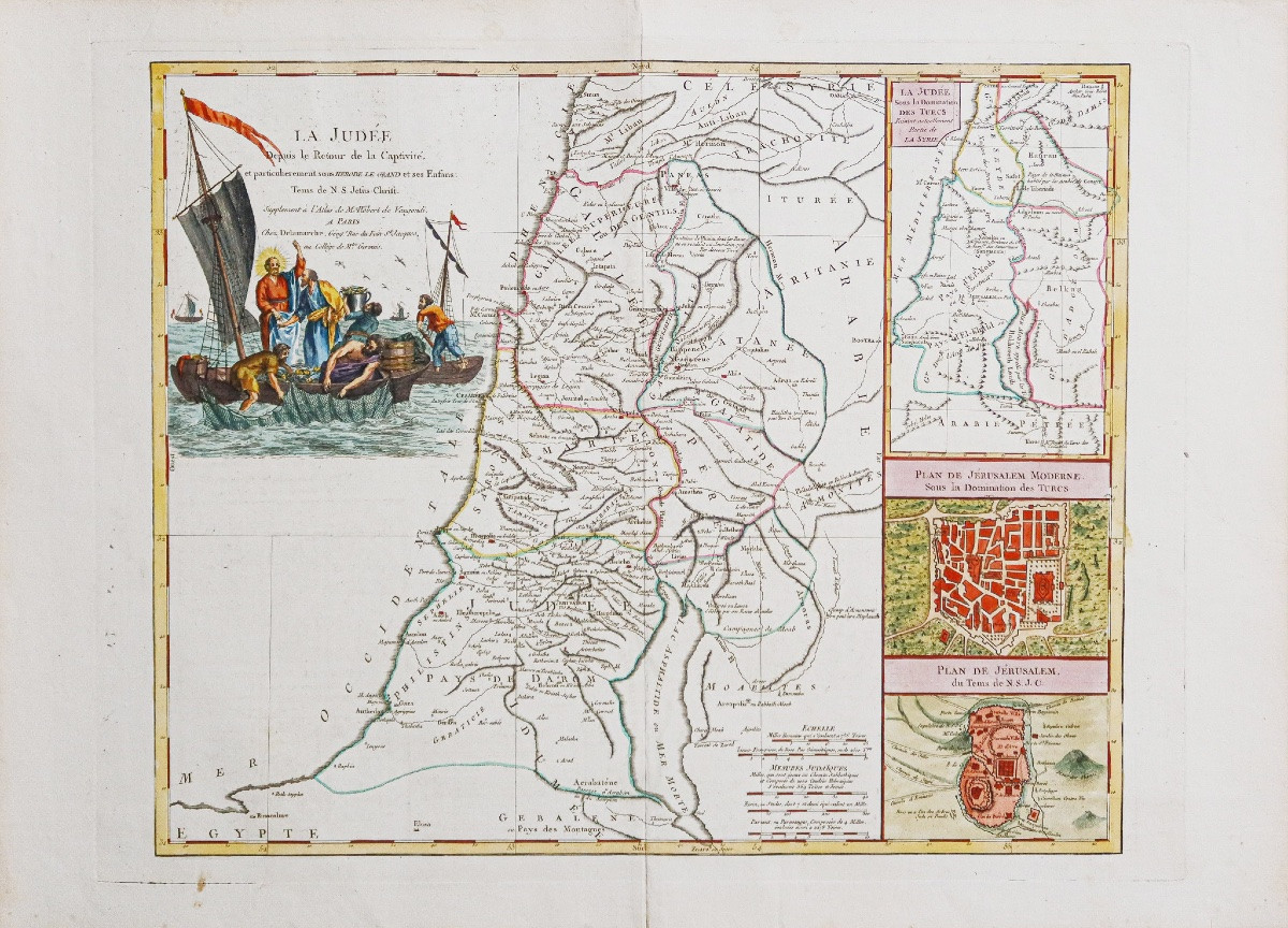
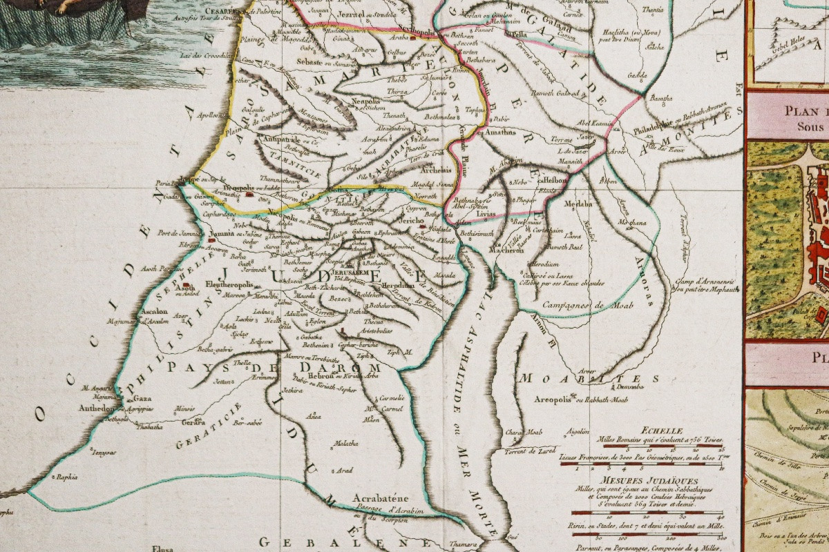


Ancient Map Of Judea Under Herodotus
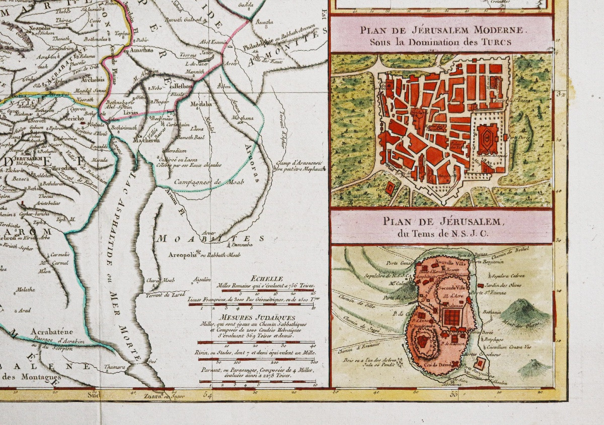
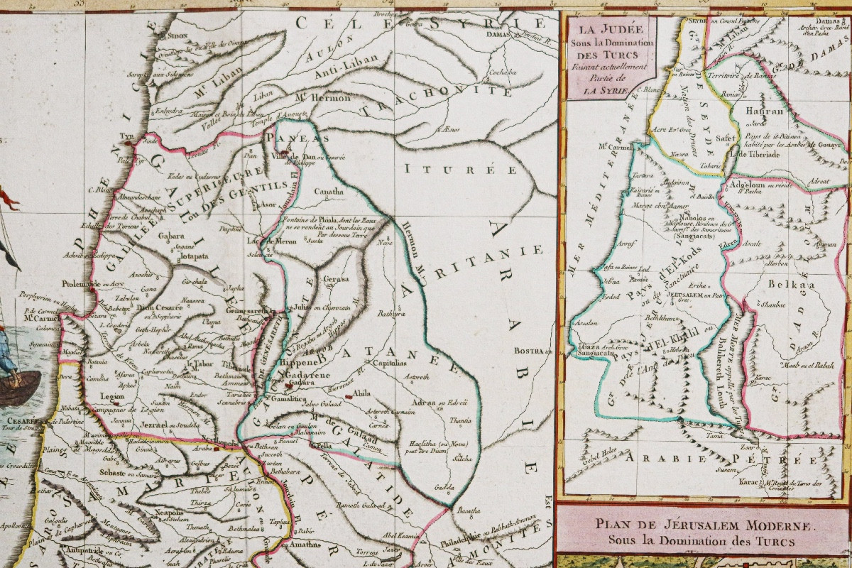
Original proof made around 1790. Delamarche cartographer. Beautiful watercolor colors. A light foxing in the lower margin far from the map. Very good condition. Sheet size: 77 x 59 cm. Engraving size: 65 x 50 cm. Large second edition map made by Delamarche after the map of Robert de Vaugondy. Large title cartouche, 3 inserts illustrating the city of Jerusalem and Judea under Turkish domination. You can consult all the maps and engravings available in your region by clicking on the link to our website specializing in ancient geographical archives: https://cartes-livres-anciens.com/categorie-produit/cartes-geographiques-anciennes-original-antique-maps/moyen-orient/moyen-orient-moyen-orient/ Secure payment by credit card on our website by clicking on the link: https://cartes-livres-anciens.com/produit/cartes-geographiques-anciennes-original-antique-maps/moyen-orient/moyen-orient-moyen-orient/carte-ancienne-de-la-judee-sous-herodote/ All our maps and engravings are accompanied by a certificate of authenticity.
345 €
Period: 18th century
Style: Other Style
Condition: Excellent condition
Material: Paper
Reference (ID): 1588083
Availability: In stock
Print