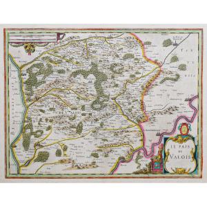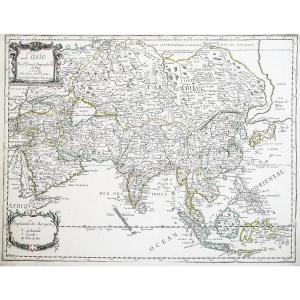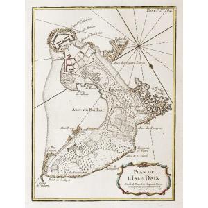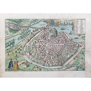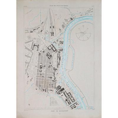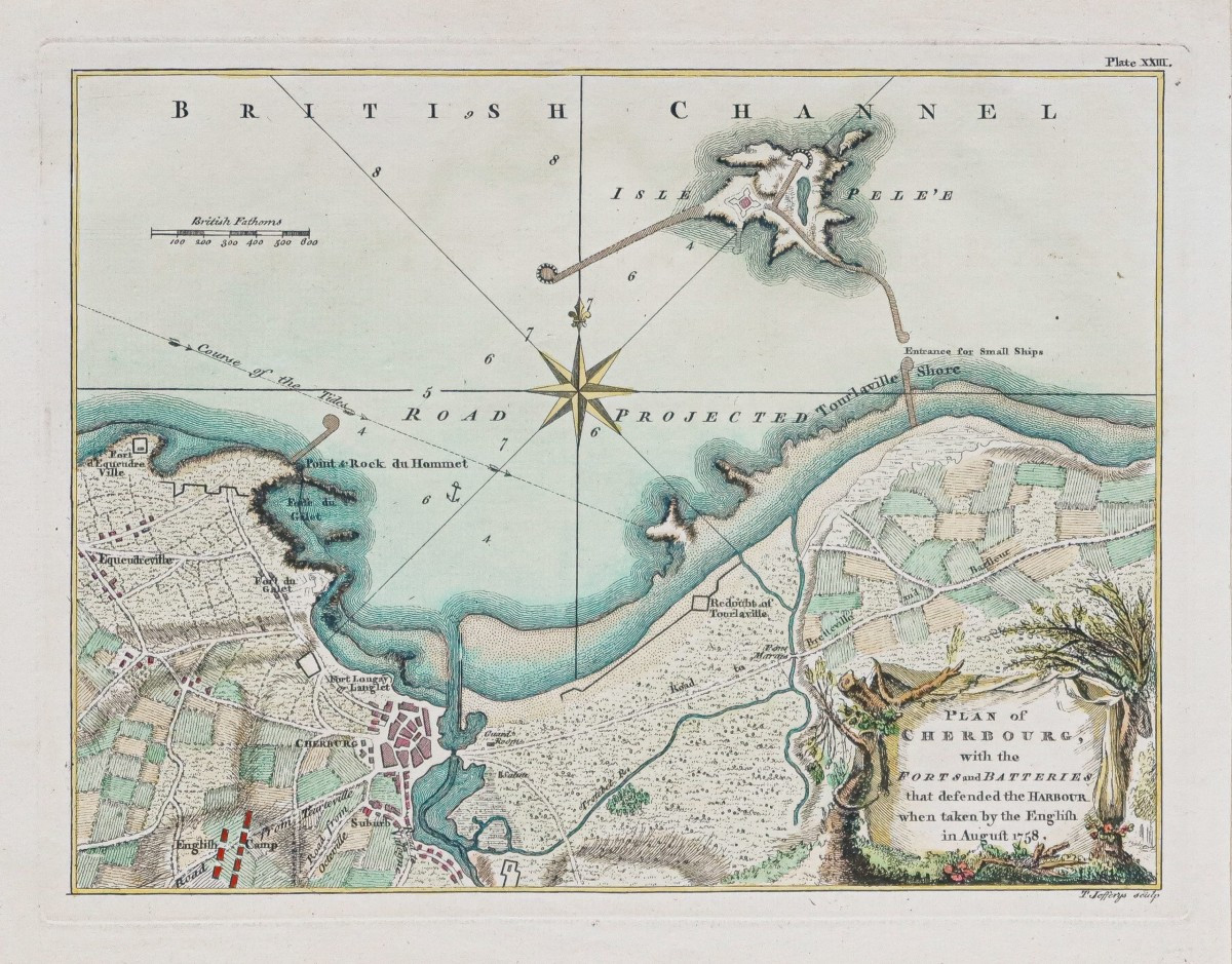
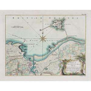

Old Map Of Cherbourg – Normandy
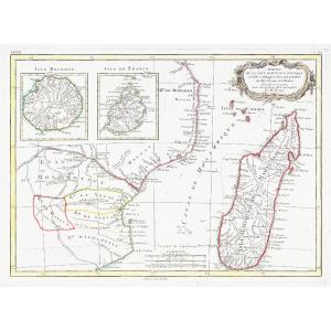
Epreuve originale réalisée en 1758. T. Jefferys Auteur.
Beaux coloris aquarelle.
Très bon état.
Format feuille : 29 x 23,5 cm.
Format gravure : 26 x 20 cm.
Original antique plan of 1758.
Cartouche de titre décoratif. Echelle des lieux. Boussole.
Vous pouvez consulter l’ensemble des cartes, livres et gravures disponibles sur votre région en cliquant sur le lien de notre site internet spécialisé en archives anciennes géographiques :
https://cartes-livres-anciens.com/categorie-produit/cartes-geographiques-anciennes-original-antique-maps/france/normandie/
Règlement sécurisé par carte bancaire sur notre site internet en cliquant sur le lien ci-dessous :
https://cartes-livres-anciens.com/produit/cartes-geographiques-anciennes-original-antique-maps/france/normandie/plan-ancien-de-cherbourg-normandie/
Toutes nos cartes et gravures sont accompagnées d’un certificat d’authenticité.
Original print made in 1758. T. Jefferys, author. Beautiful watercolor coloring. Very good condition. Sheet size: 29 x 23.5 cm. Image size: 26 x 20 cm. Original antique plan of 1758. Decorative title cartouche. Scale of the locations. Compass. You can view all the maps, books and engravings available for your region by clicking on the link to our website specializing in old geographical archives: https://cartes-livres-anciens.com/categorie-produit/cartes-geographiques-anciennes-original-antique-maps/france/normandie/ Secure payment by credit card on our website by clicking on the link below: https://cartes-livres-anciens.com/produit/cartes-geographiques-anciennes-original-antique-maps/france/normandie/plan-ancien-de-cherbourg-normandie/ All our maps and engravings are accompanied by a certificate of authenticity.
150 €
Period: 19th century
Style: Other Style
Condition: Excellent condition
Material: Paper
Reference (ID): 1659248
Availability: In stock
Print