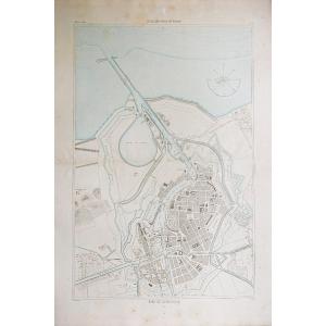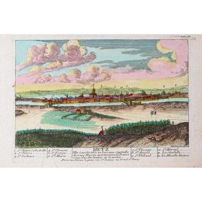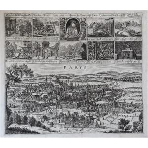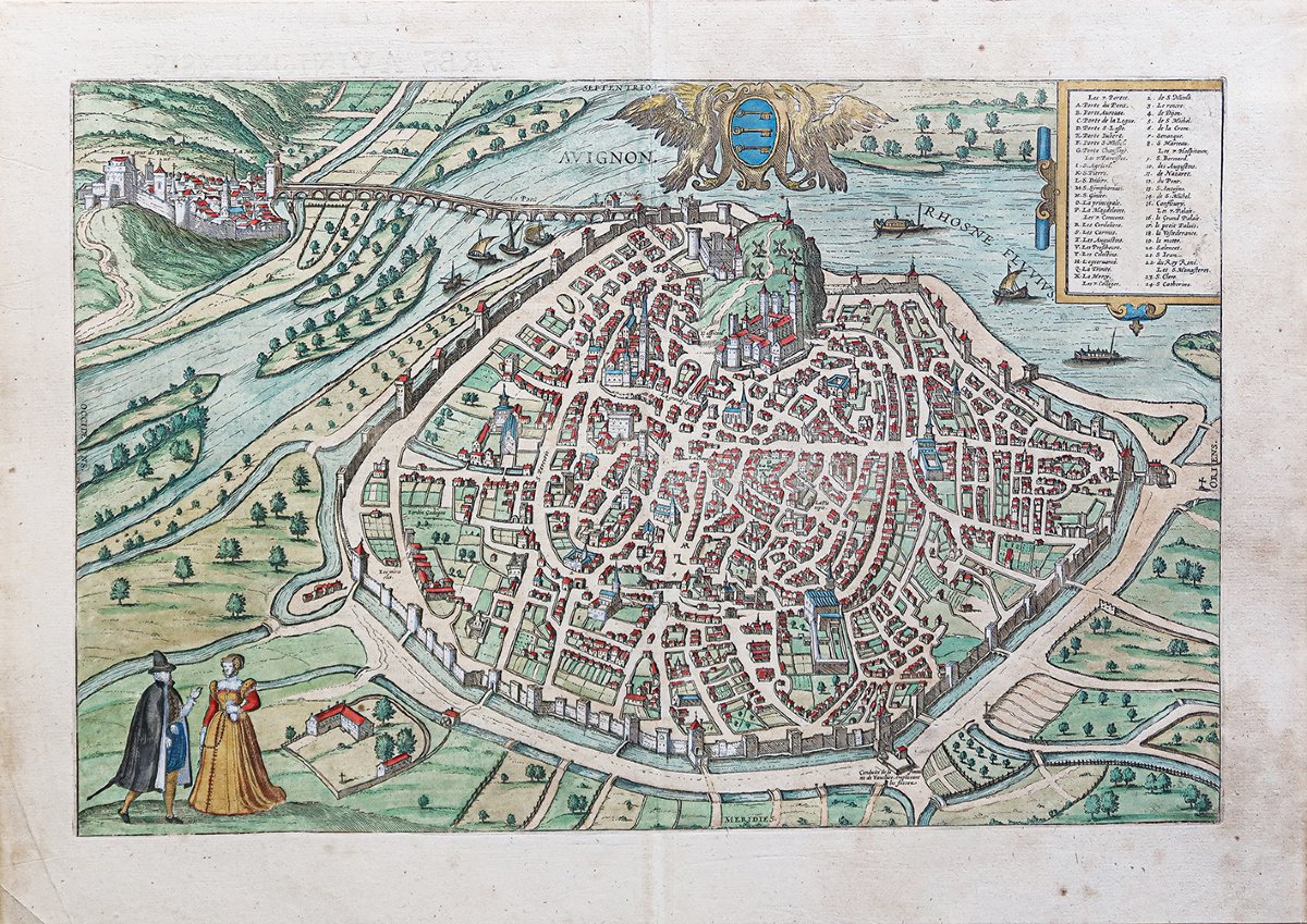
Old Engraving Of Avignon
Original map engraved in 1590. Cartographers: Braun and Hogenberg.
Beautiful watercolor coloring.
Explanatory text in Old Latin on the reverse.
Very good condition.
Sheet size: 54.5 x 38.5 cm.
Engraving size: 47 x 31 cm.
Original antique map from 1590.
One of the earliest depictions of the city.
References from A to X and from 1 to 24 indicating the main monuments and landmarks.
Coat of arms surrounded by two eagles in the upper center.
This collection included 564 maps, bird’s-eye views, and plans of all the major cities of Europe, as well as the most important cities in Asia, Africa, and Latin America. Edited and annotated by Georg Braun, a theologian and publisher, and lavishly illustrated with engravings by the cartographerFranz Hogenberg, The *Civitates* was conceived as a counterpart to Abraham Ortelius’s universal atlas, the *Theatrum Orbis Terrarum*, published in 1570. More than a hundred different artists and cartographers contributed to this sumptuous edition, which does more than simply depict cities; it also offers additional elements: figures in local costumes, boats, ox-drawn carts, court scenes, and topographical details that help convey the geographical location, commercial power, and political significance of the cities depicted.
Period: 16th century
Style: Other Style
Condition: Excellent condition
Material: Paper
Reference (ID): 1780156
Availability: In stock