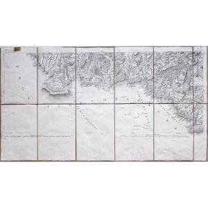
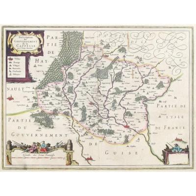
Original Map Of Gard
Epreuve originale réalisée en 1826.
Limites colorées de l’époque.
Excellent état
Format feuille : 51 x 41 cm.
Peu courante publication réalisée sous le règne de Charles X, illustrant les départements du royaume de France.
Carte très soigneusement aquarellée à l’époque, instruisant avec beaucoup de précision l’histoire du département. Sa situation géographique, l’historique des principales villes, les statistiques du moment, sur la population, l’industrie et l’administration.
Vous pouvez consulter l’ensemble des cartes, livres et gravures disponibles sur votre région en cliquant sur le lien de notre site internet spécialisé en archives anciennes géographiques :
https://cartes-livres-anciens.com/categorie-produit/cartes-geographiques-anciennes-original-antique-maps/france/languedoc-roussillon/
Règlement sécurisé par carte bancaire sur notre site internet en cliquant sur le lien ci-dessous :
https://cartes-livres-anciens.com/produit/cartes-geographiques-anciennes-original-antique-maps/france/languedoc-roussillon/carte-originale-du-gard/
Toutes nos cartes et gravures sont accompagnées d’un certificat d’authenticité.
Original proof made in 1826. Coloured boundaries of the time. Excellent condition Sheet size: 51 x 41 cm. Uncommon publication made during the reign of Charles X, illustrating the departments of the Kingdom of France. Very carefully watercoloured map at the time, very precisely instructing the history of the department. Its geographical location, the history of the main towns, the statistics of the time, on the population, industry and administration. You can view all the maps, books and engravings available in your region by clicking on the link to our website specializing in old geographical archives: https://cartes-livres-anciens.com/categorie-produit/cartes-geographiques-anciennes-original-antique-maps/france/languedoc-roussillon/ Secure payment by credit card on our website by clicking on the link below: https://cartes-livres-anciens.com/produit/cartes-geographiques-anciennes-original-antique-maps/france/languedoc-roussillon/carte-originale-du-gard/ All our maps and engravings are accompanied by a certificate of authenticity.
95 €
Period: 19th century
Style: Other Style
Condition: Excellent condition
Material: Paper
Reference (ID): 1459229
Availability: In stock
Print