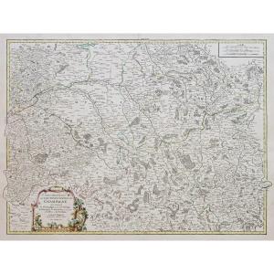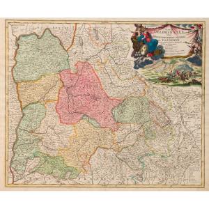

Dauphiné. 17th Century Map
Artist: Johann Homann
"Tabula Delphinatus vulgo, The General Government of DAUPHINÉ… Jo Baptista Homanno…" Edited by Johann HOMANN (1663-1724) German Geographer and Cartographer.
Copper engraving.
Printed in Nuremberg. Early 18th century. Sheet
54 x 62 cm
Copper engraving.
Printed in Nuremberg. Early 18th century. Sheet
54 x 62 cm
450 €
Period: 18th century
Style: Other Style
Condition: Perfect condition
Material: Paper
Width: 62 cm
Height: 54 cm
Reference (ID): 1504624
Availability: In stock
Print