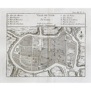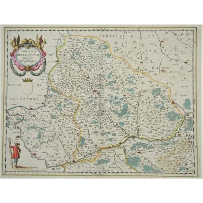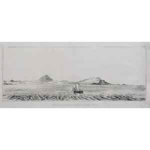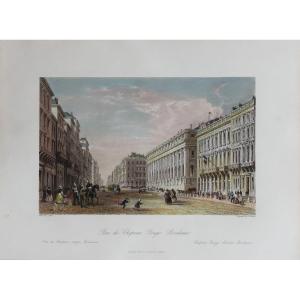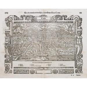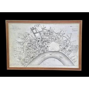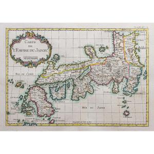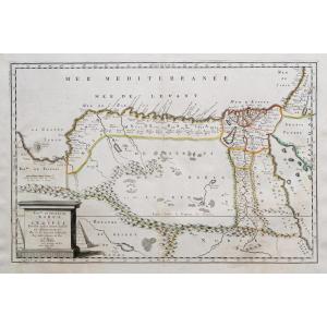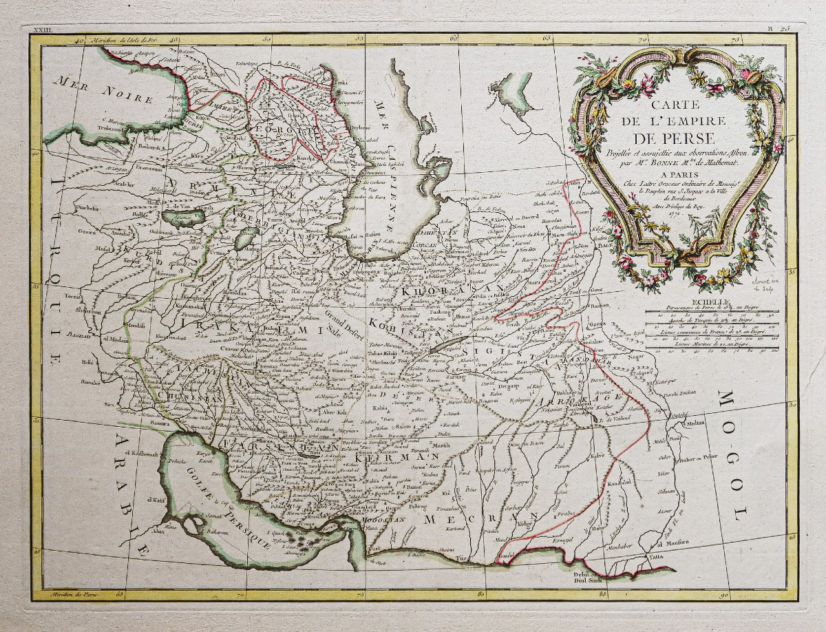


Ancient Geographical Map - Persian Empire
Epreuve originale réalisée en 1771. Bonne cartographe.
Beaux coloris aquarelle.
Limites colorées de l’époque.
Très bon état.
Format feuille : 51 x 38,5 cm.
Format gravure : 42,5 x 31 cm.
Original antique plan of 1771.
La plus belle édition des cartes de Bonne réalisées chez Lattré à Paris.
Vous pouvez consulter l’ensemble des cartes, livres et gravures disponibles sur votre région en cliquant sur le lien de notre site internet spécialisé en archives anciennes géographiques :
https://cartes-livres-anciens.com/categorie-produit/cartes-geographiques-anciennes-original-antique-maps/moyen-orient/iran/
Règlement sécurisé par carte bancaire sur notre site internet en cliquant sur le lien ci-dessous :
https://cartes-livres-anciens.com/produit/cartes-geographiques-anciennes-original-antique-maps/moyen-orient/iran/carte-geographique-ancienne-empire-perse/
Toutes nos cartes et gravures sont accompagnées d’un certificat d’authenticité.
Rigobert Bonne (1727-1795) est un ingénieur hydrographe et cartographe français du 18ème siècle.
Né dans les Ardennes à Raucourt en 1727, il succède en 1775 à Giovanni Rizzi-Zannoni comme cartographe du Roi de France au Service Hydrographique de la Marine (le Dépôt des cartes et plans de la Marine est créé sur ordre du Roi Louis XV en 1720).
Vers 1780, il définit précisément la projection qui portera alors son nom : la Projection de Bonne.
Il meurt à Paris en 1795, son fils Charles-Marie Rigobert dit le Chevalier Bonne (25 juin 1771 – 23 novembre 1839), poursuivra son œuvre.
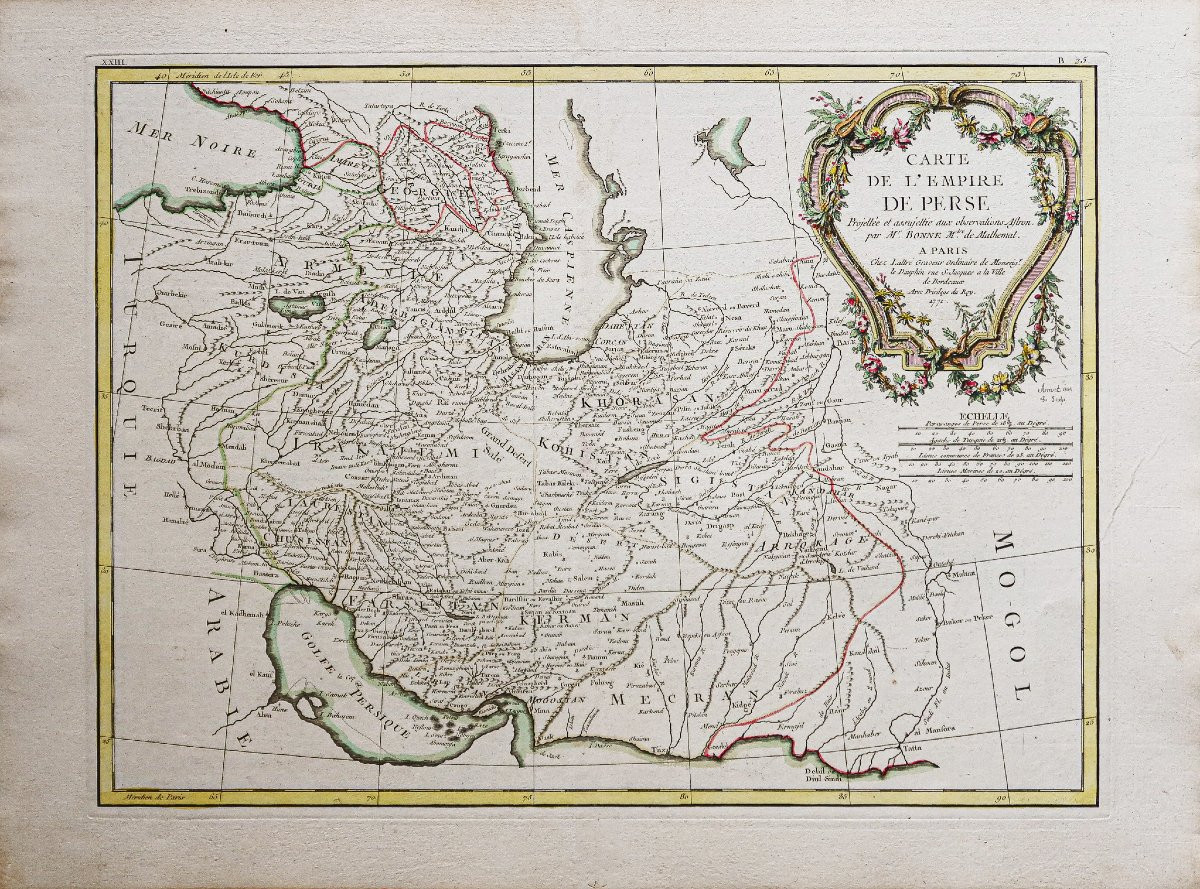
Original proof produced in 1771. Bonne cartographe.
Fine watercolor coloring.
Colored borders of the period.
Very good condition.
Sheet size: 51 x 38.5 cm.
Engraving size: 42.5 x 31 cm.
Original antique plan of 1771.
The finest edition of Bonne's maps produced by Lattré in Paris.
You can view all the maps, books and engravingsmaps, books and engravings available for your region by clicking on the linklink to our website specializing in old geographical archivesarchives:
https://cartes-livres-anciens.com/categorie-produit/cartes-geographiques-anciennes-original-antique-maps/moyen-orient/iran/
Secure payment by credit cardon our website by clicking on the link below:
https://cartes-livres-anciens.com/produit/cartes-geographiques-anciennes-original-antique-maps/moyen-orient/iran/carte-geographique-ancienne-empire-perse/
All our maps and prints are accompanied by a credit card.our maps and engravings are accompanied by a certificate of authenticity.
Rigobert Bonne (1727-1795) was a French hydrographic engineer and cartographer of the 18th century.
Born in the Ardennes at Raucourt in 1727, he succeeded Giovanni Rizzi-Zannoni in 1775 as cartographer to the King of France at the Service Hydrographique de la Marine (the Dépôt des cartes et plans de la Marine was created by order of King Louis XV in 1720).
Beaux coloris aquarelle.
Limites colorées de l’époque.
Très bon état.
Format feuille : 51 x 38,5 cm.
Format gravure : 42,5 x 31 cm.
Original antique plan of 1771.
La plus belle édition des cartes de Bonne réalisées chez Lattré à Paris.
Vous pouvez consulter l’ensemble des cartes, livres et gravures disponibles sur votre région en cliquant sur le lien de notre site internet spécialisé en archives anciennes géographiques :
https://cartes-livres-anciens.com/categorie-produit/cartes-geographiques-anciennes-original-antique-maps/moyen-orient/iran/
Règlement sécurisé par carte bancaire sur notre site internet en cliquant sur le lien ci-dessous :
https://cartes-livres-anciens.com/produit/cartes-geographiques-anciennes-original-antique-maps/moyen-orient/iran/carte-geographique-ancienne-empire-perse/
Toutes nos cartes et gravures sont accompagnées d’un certificat d’authenticité.
Rigobert Bonne (1727-1795) est un ingénieur hydrographe et cartographe français du 18ème siècle.
Né dans les Ardennes à Raucourt en 1727, il succède en 1775 à Giovanni Rizzi-Zannoni comme cartographe du Roi de France au Service Hydrographique de la Marine (le Dépôt des cartes et plans de la Marine est créé sur ordre du Roi Louis XV en 1720).
Vers 1780, il définit précisément la projection qui portera alors son nom : la Projection de Bonne.
Il meurt à Paris en 1795, son fils Charles-Marie Rigobert dit le Chevalier Bonne (25 juin 1771 – 23 novembre 1839), poursuivra son œuvre.
Original proof produced in 1771. Bonne cartographe.
Fine watercolor coloring.
Colored borders of the period.
Very good condition.
Sheet size: 51 x 38.5 cm.
Engraving size: 42.5 x 31 cm.
Original antique plan of 1771.
The finest edition of Bonne's maps produced by Lattré in Paris.
You can view all the maps, books and engravingsmaps, books and engravings available for your region by clicking on the linklink to our website specializing in old geographical archivesarchives:
https://cartes-livres-anciens.com/categorie-produit/cartes-geographiques-anciennes-original-antique-maps/moyen-orient/iran/
Secure payment by credit cardon our website by clicking on the link below:
https://cartes-livres-anciens.com/produit/cartes-geographiques-anciennes-original-antique-maps/moyen-orient/iran/carte-geographique-ancienne-empire-perse/
All our maps and prints are accompanied by a credit card.our maps and engravings are accompanied by a certificate of authenticity.
Rigobert Bonne (1727-1795) was a French hydrographic engineer and cartographer of the 18th century.
Born in the Ardennes at Raucourt in 1727, he succeeded Giovanni Rizzi-Zannoni in 1775 as cartographer to the King of France at the Service Hydrographique de la Marine (the Dépôt des cartes et plans de la Marine was created by order of King Louis XV in 1720).
250 €
Period: 18th century
Style: Other Style
Condition: Excellent condition
Material: Paper
Reference (ID): 1741644
Availability: In stock
Print