Old Maps

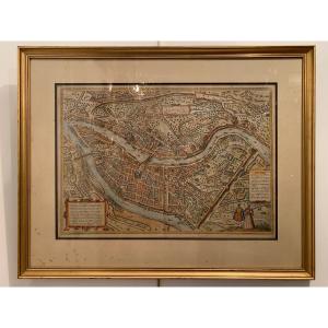
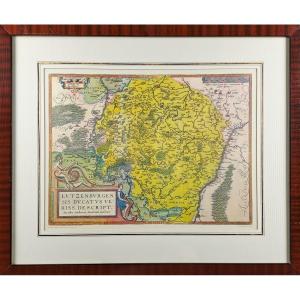
17th Century Map Bellovaci Et Silvanectes. The Bishoprics Of Beau[...]
17th century
![]()
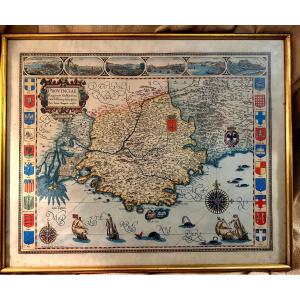
Large Framed Color Map Of Provence "parisis Anno 1593" By Petro I[...]
20th century

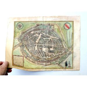
Colmar Cosmographic Map Of Munster In 1550, Old Geographical Map
16th century
![]()
The Duchy Of Luxembourg - Jacques Surhon De Mons - 1551 - édouard[...]
20th century

1580 Map (period) Mastiscona & Cabillinum By Braun Georg Macon An[...]
16th century
Beautiful View Of Metz, Circa 1593, Braun And Hogenberg, Period C[...]
16th century
![]()
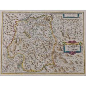
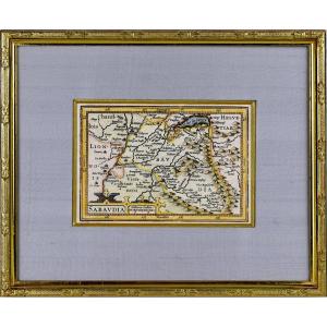
17th Century Map Sabaudia Ducatus La Savoié Watercolor Engraving [...]
17th century
![]()


Mercator Historical Map: Vdrone Irlandiæ In Catherlagh Baronia, C[...]
17th century
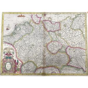
Old Antique Map Of Germania By Gerard Mercator - Germany In 1623
17th century

Geographical Map Of Bohemia Engraved By G Mercator Between 1613 A[...]
17th century


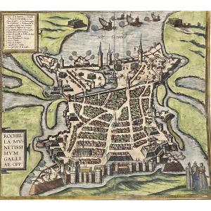
Merian Matthäus 1593-1650 After Plan Of La Rochelle State Of The [...]
17th century


Rare Engraving Of The Island Of Narmoustier (island Of Noirmoutie[...]
17th century
![]()

Rare Engraving Map Of The Government Of Antibes - Ep. 17th Centur[...]
17th century
![]()
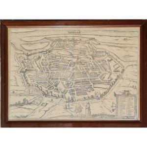
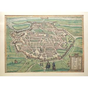
Map-view Of Strasbourg, 1584, Colored, Beautiful Period Engraving[...]
16th century
![]()
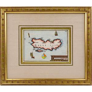
Rare Engraving Of Beautiful Island At Sea - Current Framing - Ep.[...]
17th century
![]()
Map Of Sedan, Raucourt, Doncheri, From The 17th Century, Atlas Gu[...]
17th century

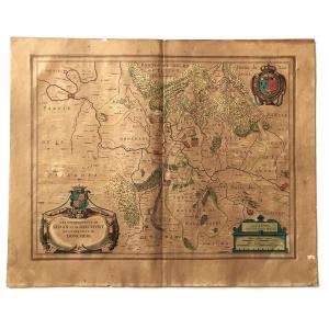
Country Of Poictou, Pictaviae Ducatus Descriptio Vulgo, Pretty Lo[...]
17th century
![]()