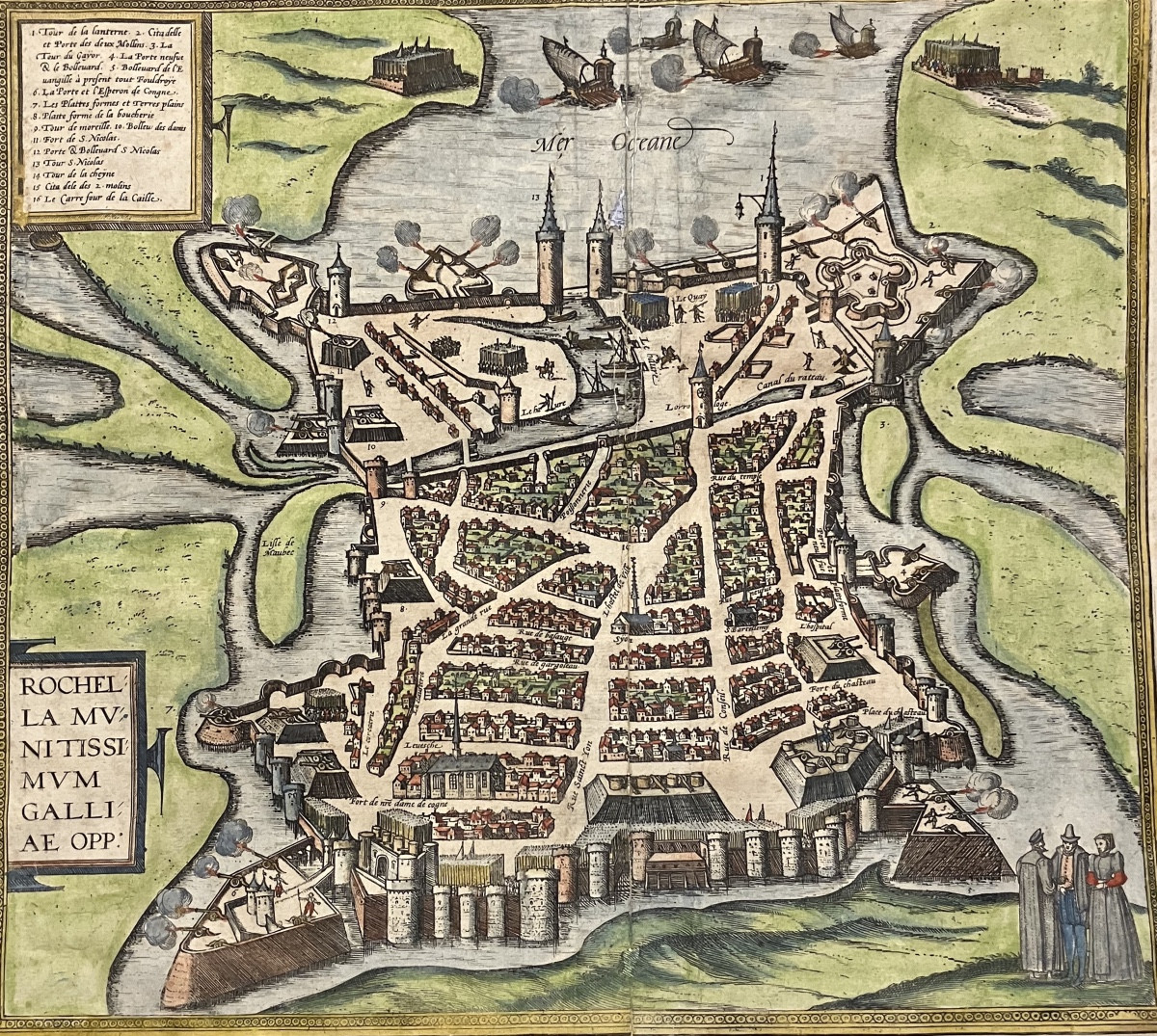
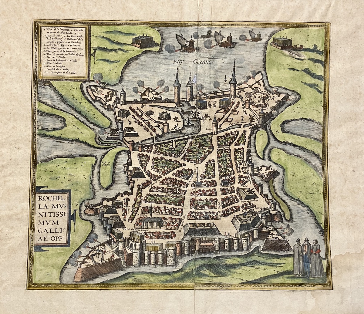
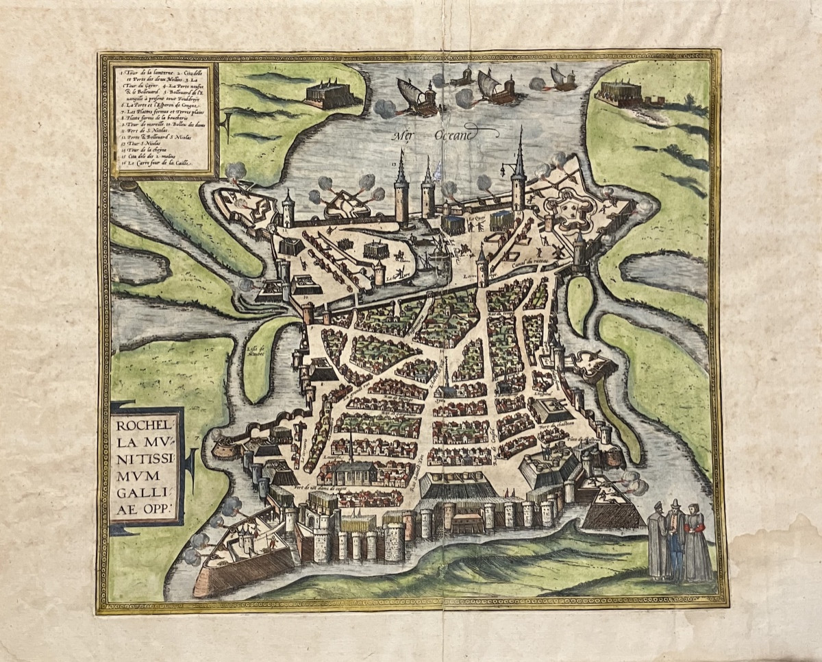
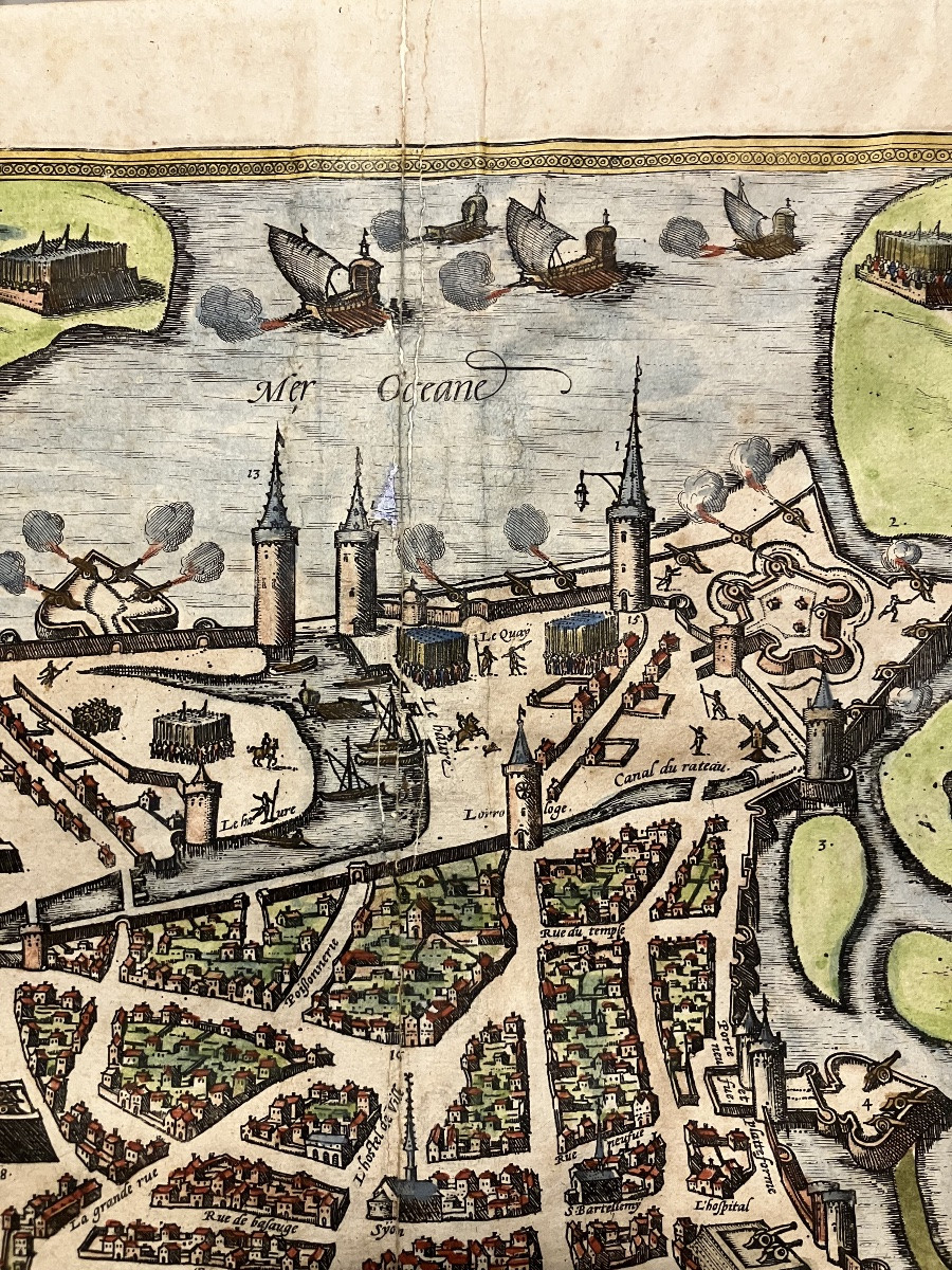
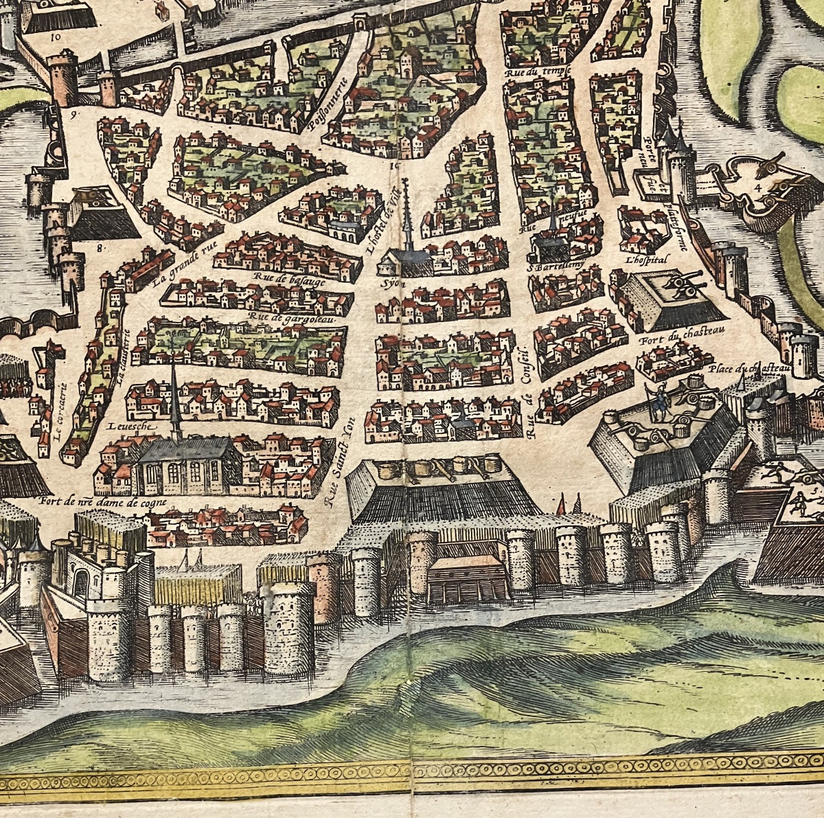
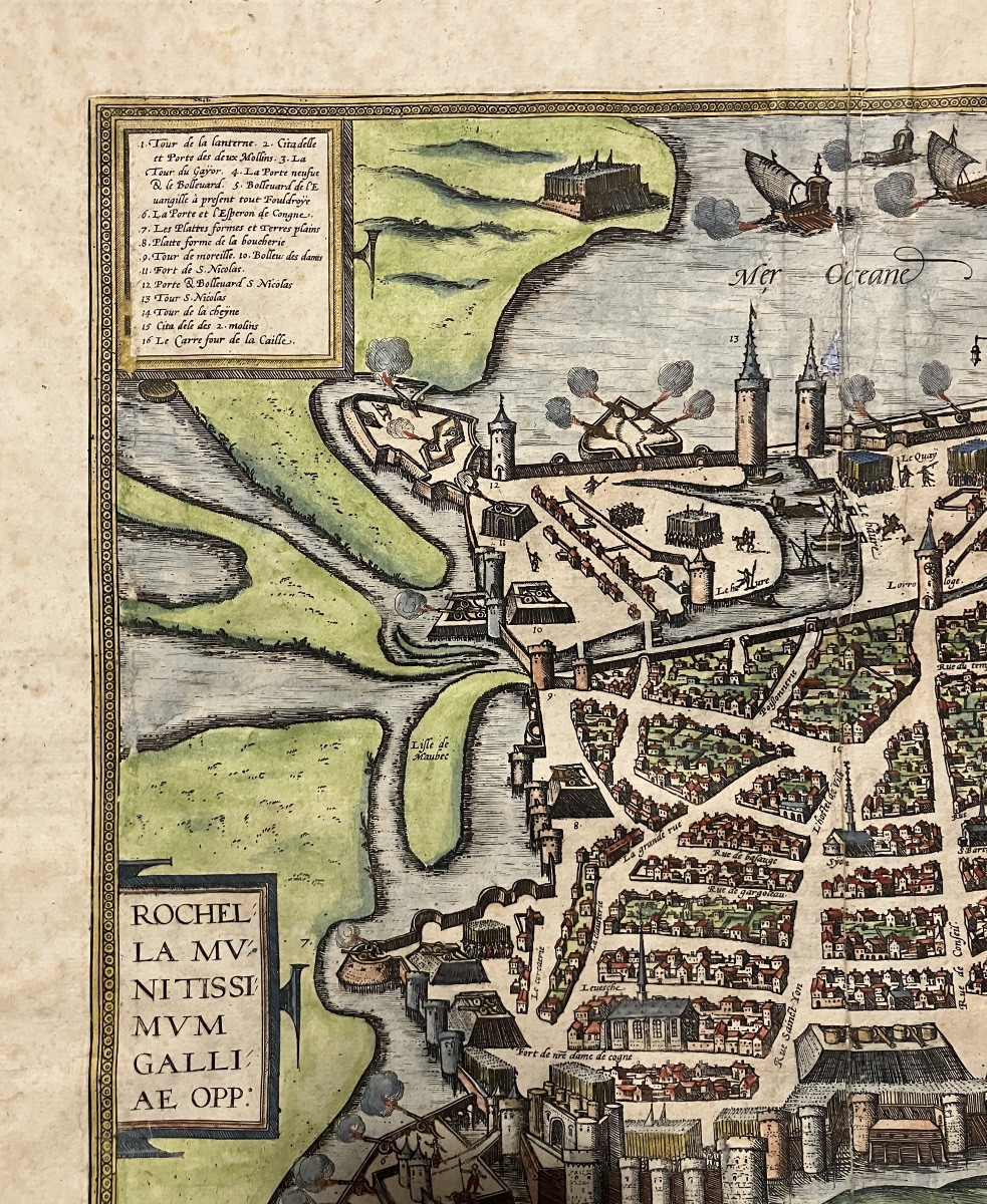

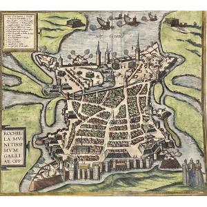


Old Map Of La Rochelle Circa 1590 By Braun And Hogenberg, Cartographers
Artist: Braun Et Hogenberg
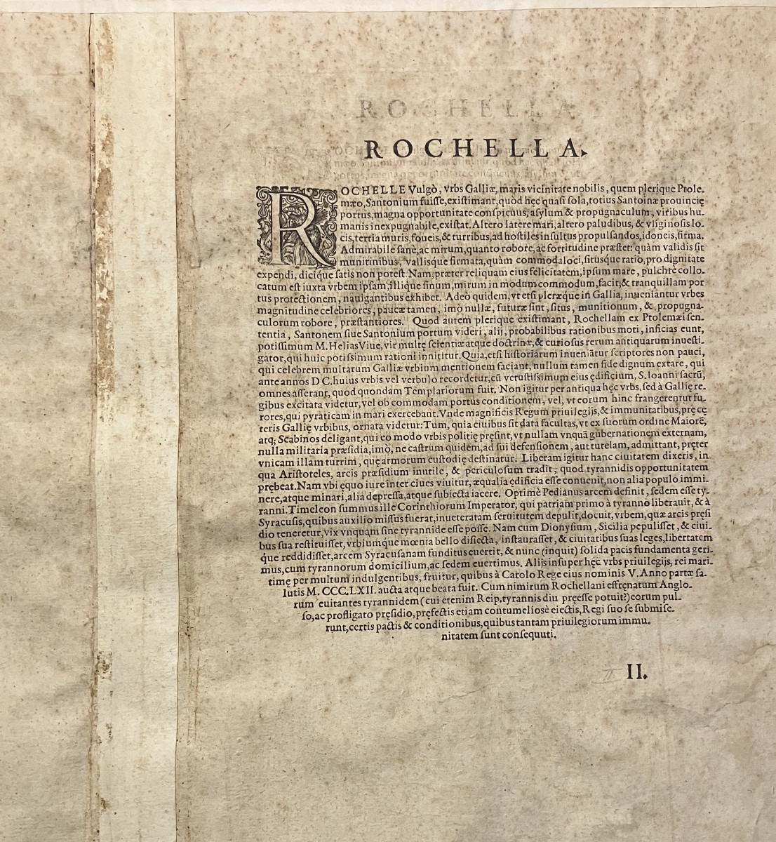
View illustrating the siege of La Rochelle in 1362. This is one of the oldest representations of the city. Explanatory text in Latin on the verso. Sheet: 47 x 37.5 cm; engraving: 35.5 x 31.8 cm. Created by Georg Braun (1541-1622) and Franz Hogenberg, from "Theatre of the Cities of the World." Hand-colored engraving. Damage at the fold. Foxing and damp stains on the margin.
300 €
Period: 16th century
Style: Renaissance, Louis 13th
Condition: Condition of use
Material: Paper
Width: 35,5 cm
Height: 31,8 cm
Reference (ID): 1704215
Availability: In stock
Print