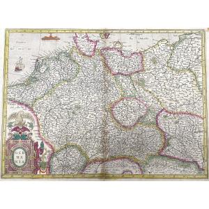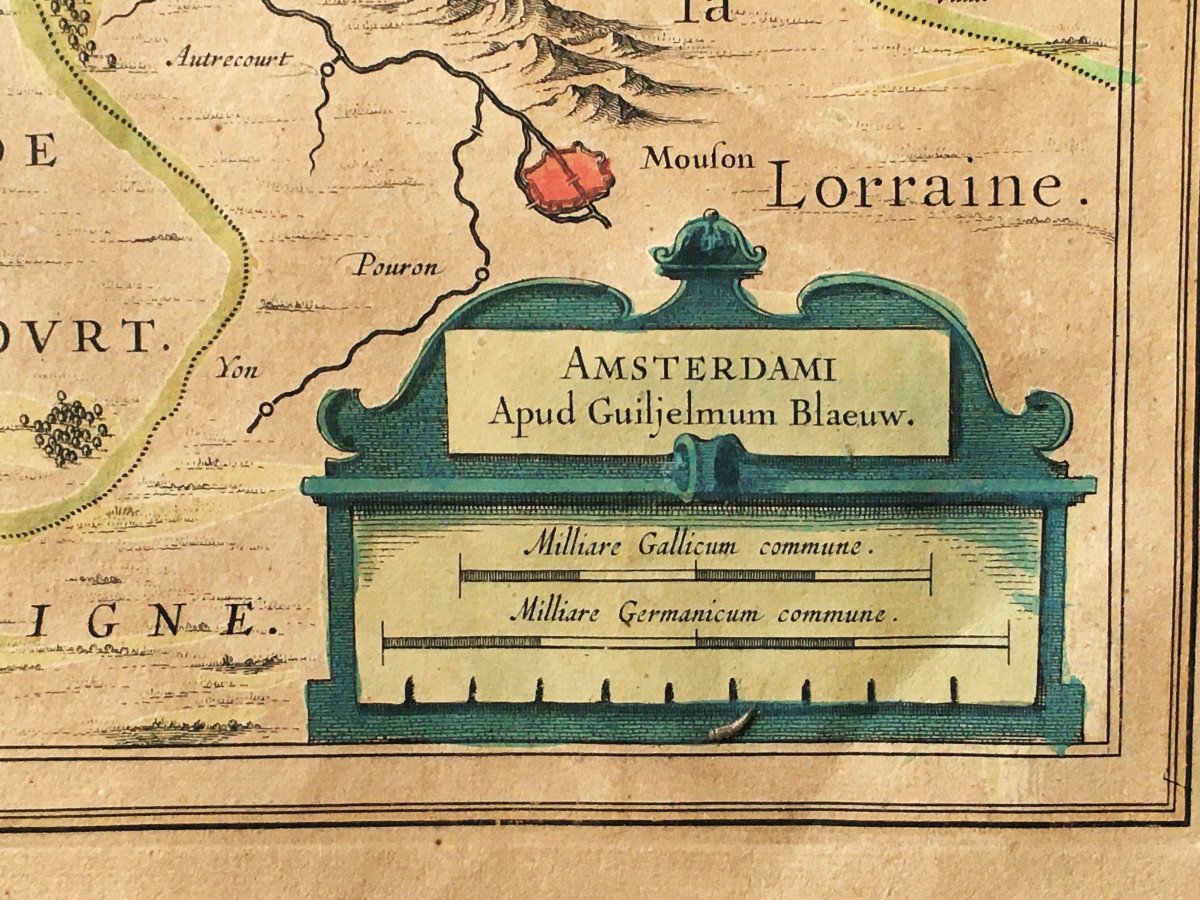


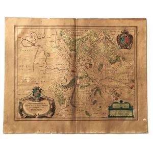


Map Of Sedan, Raucourt, Doncheri, From The 17th Century, Atlas Guillaume Blaeuw, Amsterdam.
Artist: Blauew
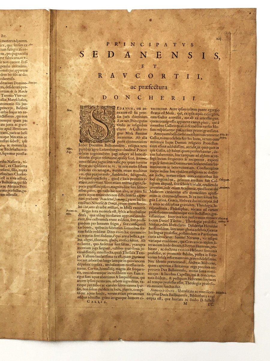
Lovely map from the beginning of the 17th century representing the sovereignties of Sedan, Raucourt and Doncheri, taken from the atlas of Guillaume Blaeuw published in Amsterdam. Period colors, very yellowed paper, a few wormholes. On the back, the explanatory text in Latin. Open dimensions: 57.5 x 46.5 cm
150 €
Period: 17th century
Style: Renaissance, Louis 13th
Condition: En l'etat
Material: Paper
Length: 57,5 cm
Height: 46,5 cm
Reference (ID): 1254399
Availability: In stock
Print