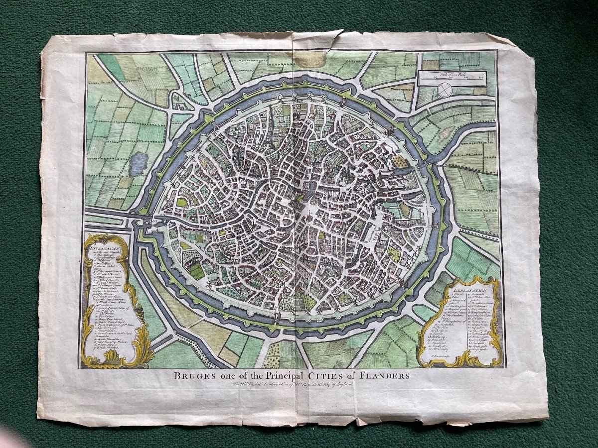
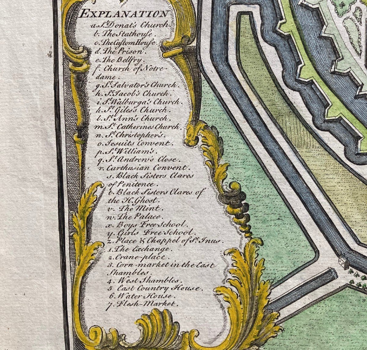


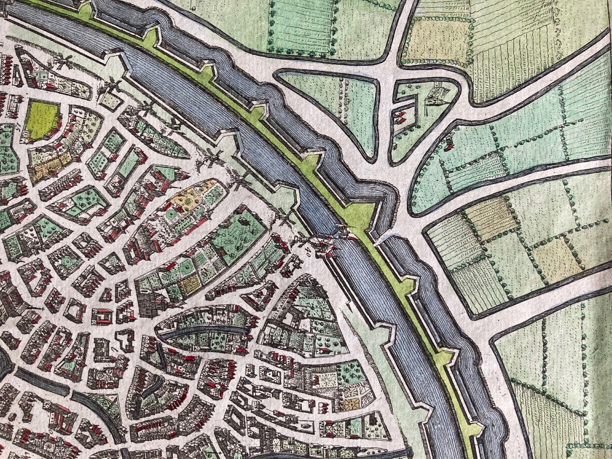
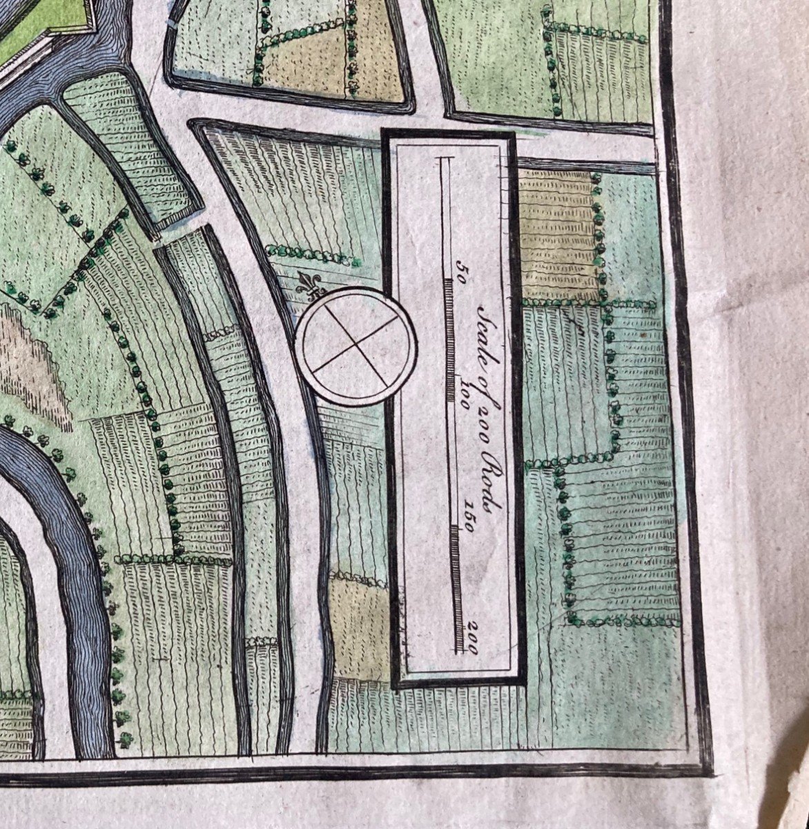
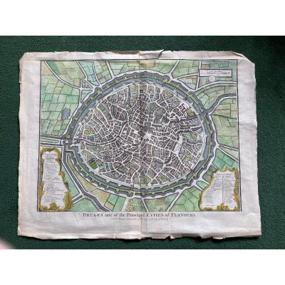

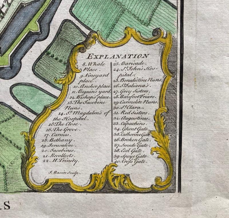
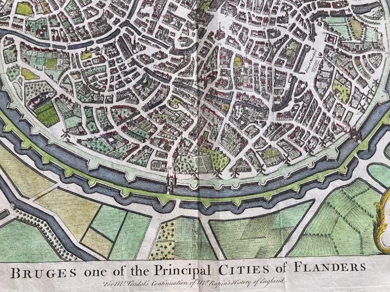
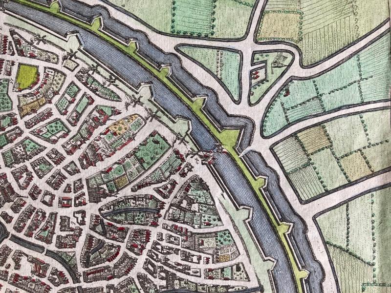
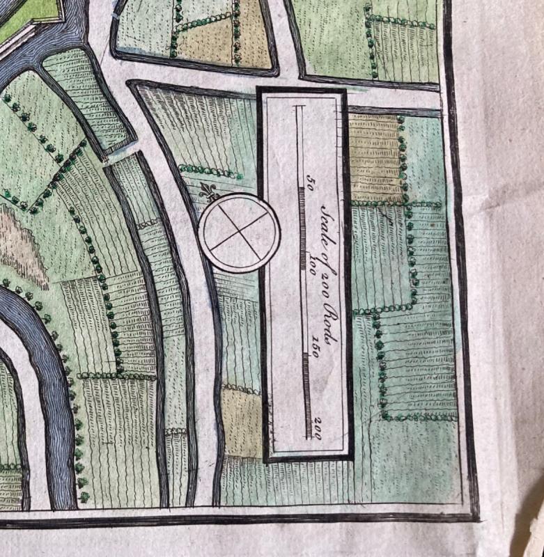

Map Of Bruges 17th Century
Rare map of Bruges. Around 1650.
480 €
Period: 17th century
Style: Renaissance, Louis 13th
Condition: Good condition
Length: 56 cm
Width: 43 cm
Reference (ID): 746818
Availability: In stock
Print