Old Maps
33 objects
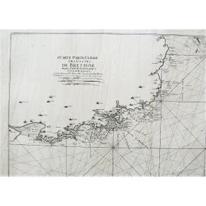
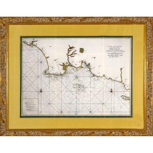
Côtes De Bretagne l'Anse De Goulven Isle Of Ouessant Old Geograph[...]
18th century
790 €
![]()
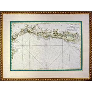
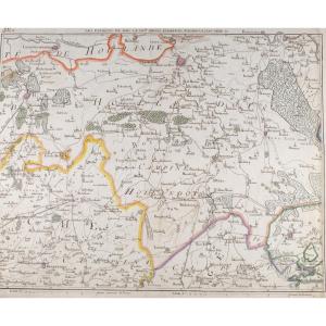
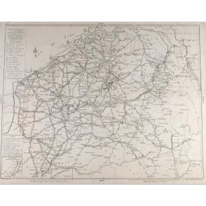
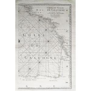
Beautiful And Large Marine Map - From Le Havre De Grâce To Isigny[...]
18th century
1 750 €
![]()
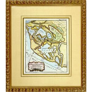
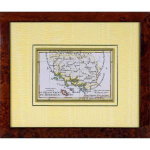
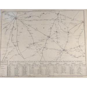
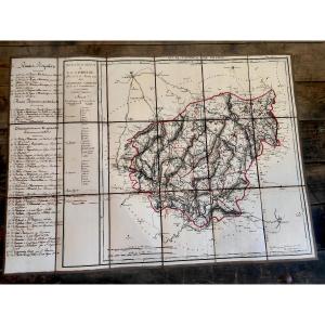
Engraving Of Morbihan (56) - Departmental Map - Revolutionary Ep.[...]
18th century
250 €
![]()


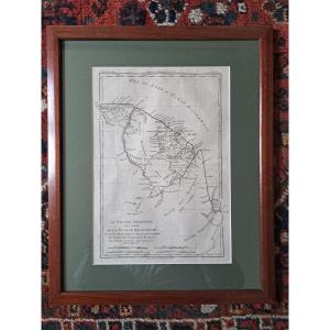
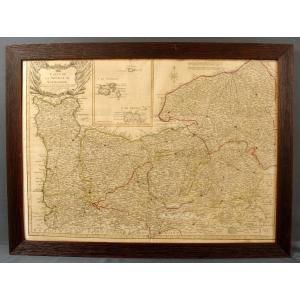
Engraving - Large Marine Chart From The Bay Of Audierne To The Is[...]
18th century
1 750 €
![]()

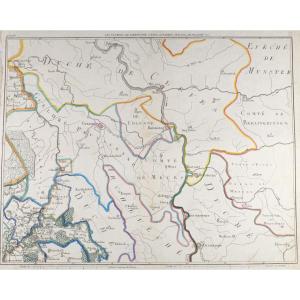
Engraving Of European Turkey And Part Of That Of Asia Divided - E[...]
18th century
480 €
![]()


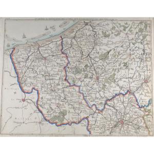
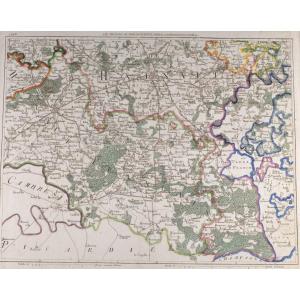
Geographical Map Of The Western Part Of The Roman Empire. France.[...]
18th century
380 €
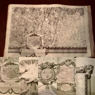
Beautiful Map On Canvas, Late 18th Century, Early 19th Century, E[...]
19th century
185 €

33 objects
