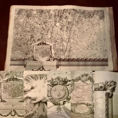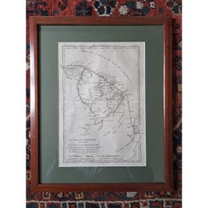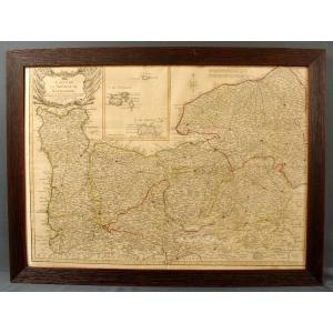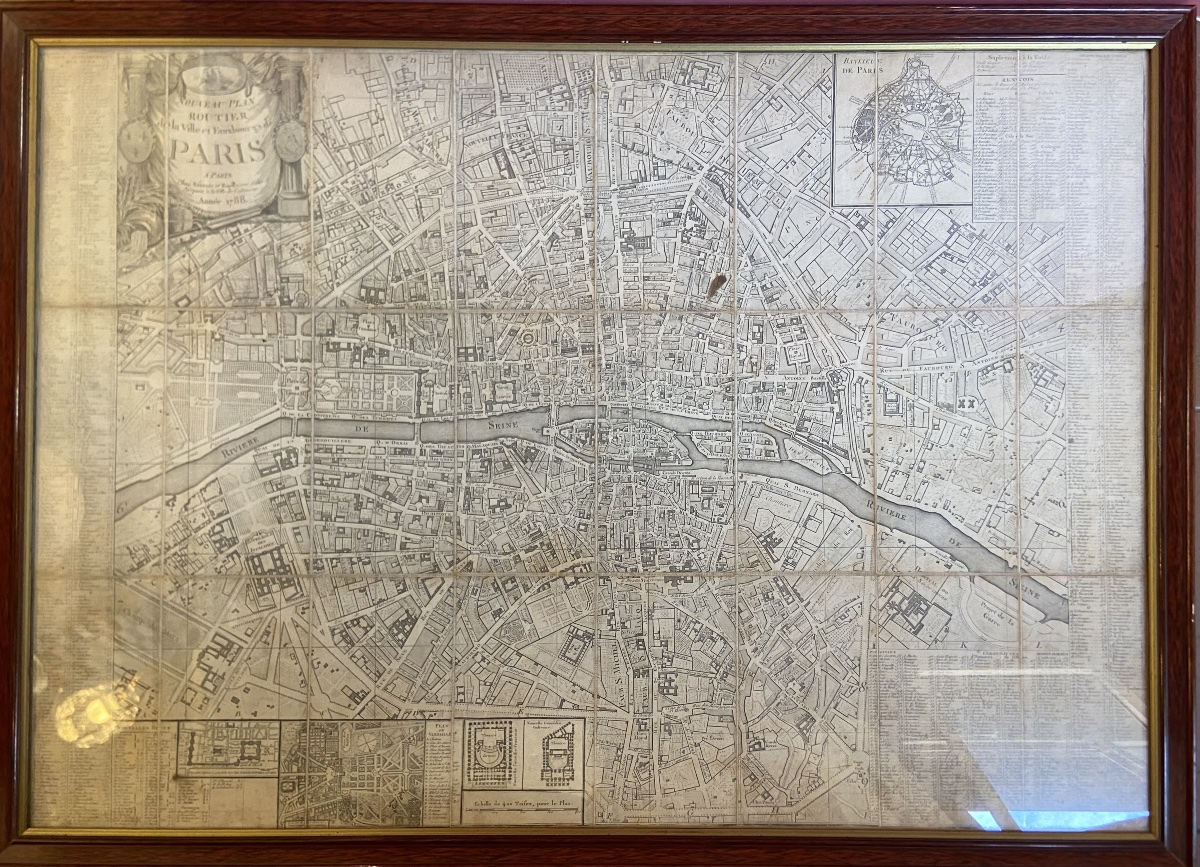
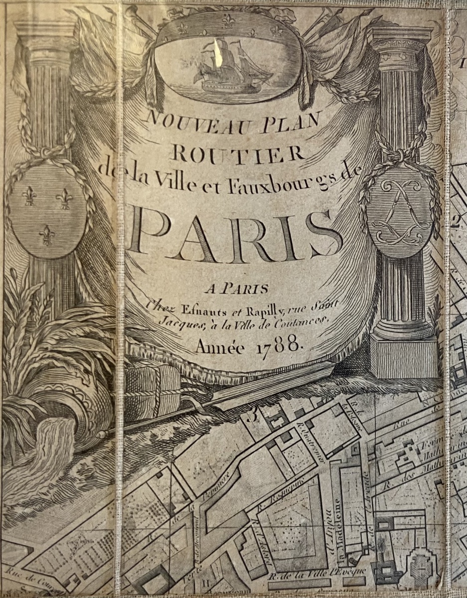
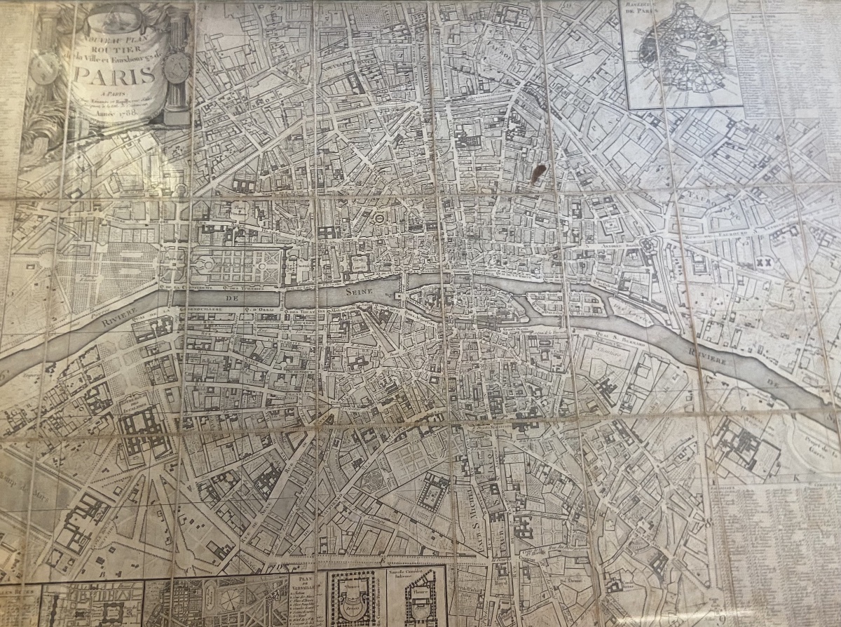
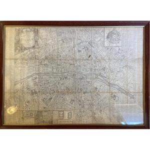


Antique Map, Road Map Of The City Of Paris, 1788
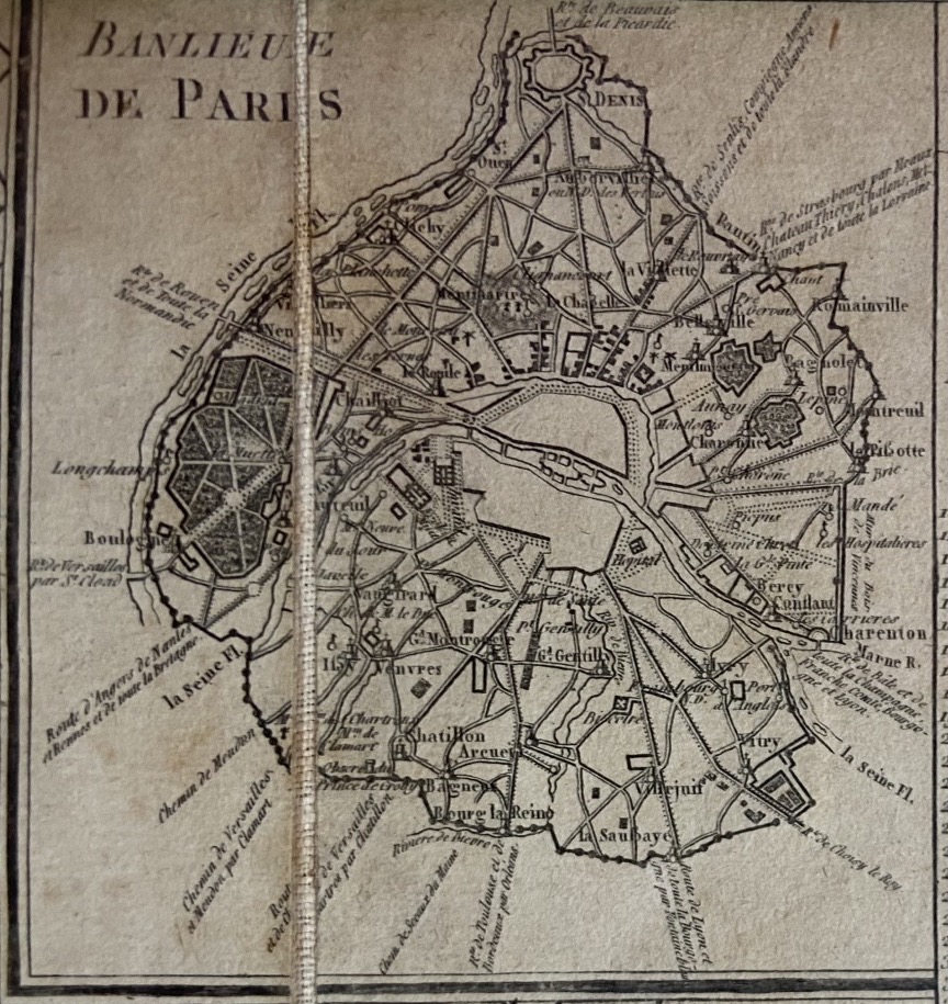
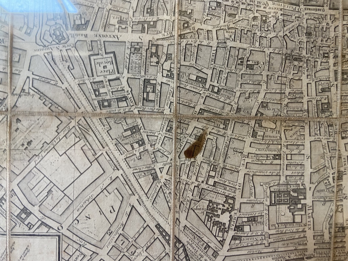
A street map of Paris, one year before the French Revolution, by Esnauts and Rapilly, dated 1788.
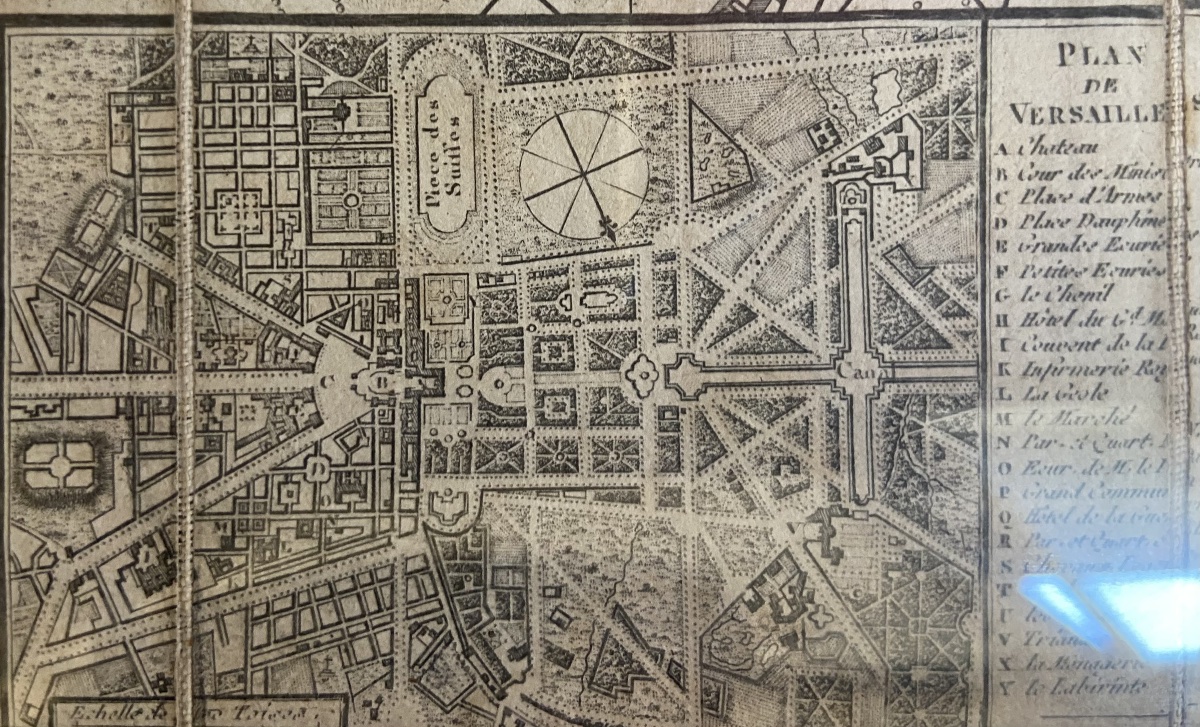
It includes an alphabetical index of streets in the margins, a small map of Versailles, another of the new Italian theater, and a final map depicting the proposed site for an opera house in Paris.
Dimensions: 79 cm x 55.5 cm
Note: There is an old stain.
It includes an alphabetical index of streets in the margins, a small map of Versailles, another of the new Italian theater, and a final map depicting the proposed site for an opera house in Paris.
Dimensions: 79 cm x 55.5 cm
Note: There is an old stain.
450 €
Period: 18th century
Style: Louis 16th, Directory
Condition: Excellent condition
Material: Paper
Length: 79cm
Width: 55,5cm
Reference (ID): 1783969
Availability: In stock
Print