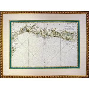


Beautiful And Large Marine Map - From Le Havre De Grâce To Isigny Sur Mer - Ep. XVIIIe
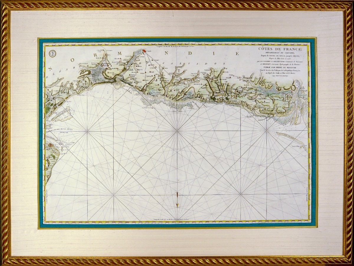
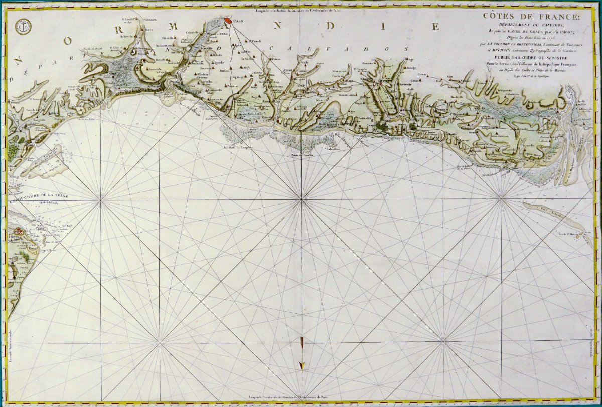
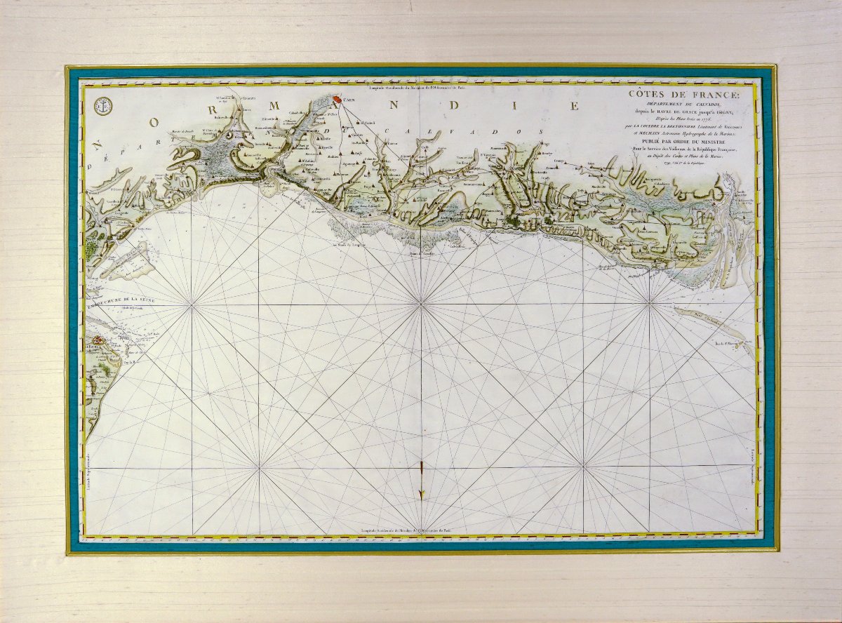
TRÈS RARE et GRANDE CARTE MARINE DES COTES DE FRANCE (CALVADOS)
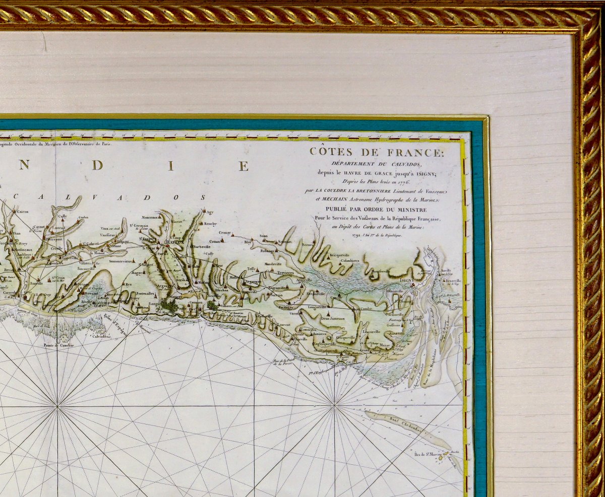
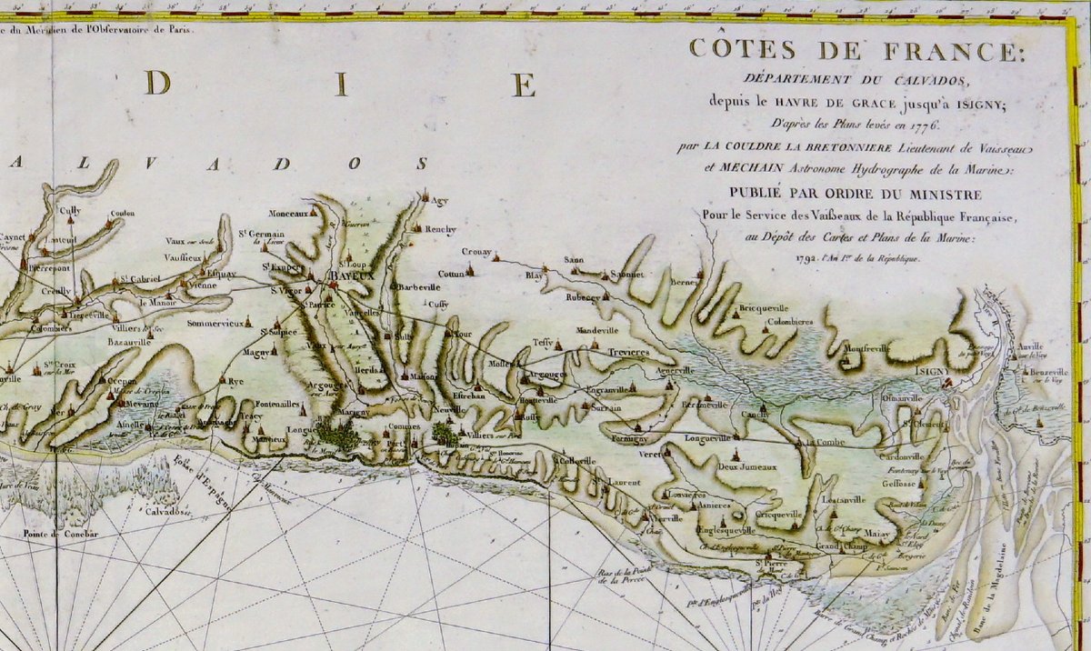
CARTE MARINE DEPUIS LE HAVRE de GRÂCE JUSQUÀ A ISIGNY, d'après les plans levé en 1776
- Par La COULORE LA BRETONNIERE, Lieutenant de vaisseau et MECHAIN, astronome hydrographe de la marine. Published by order of the Minister for the service of the vessels of the French Republic.Chisel engraving on steel, watercolored by hand.
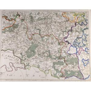
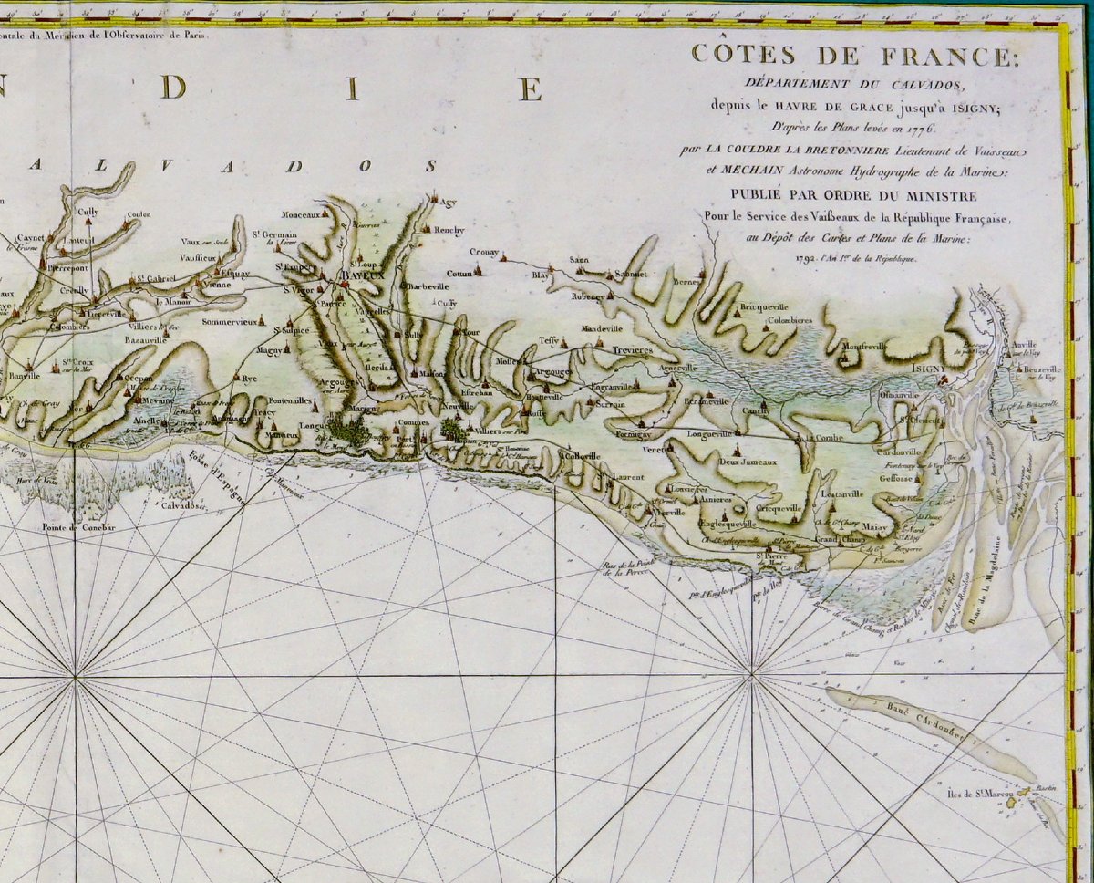
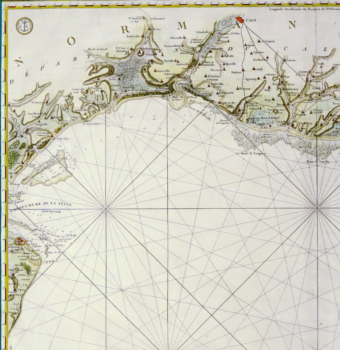
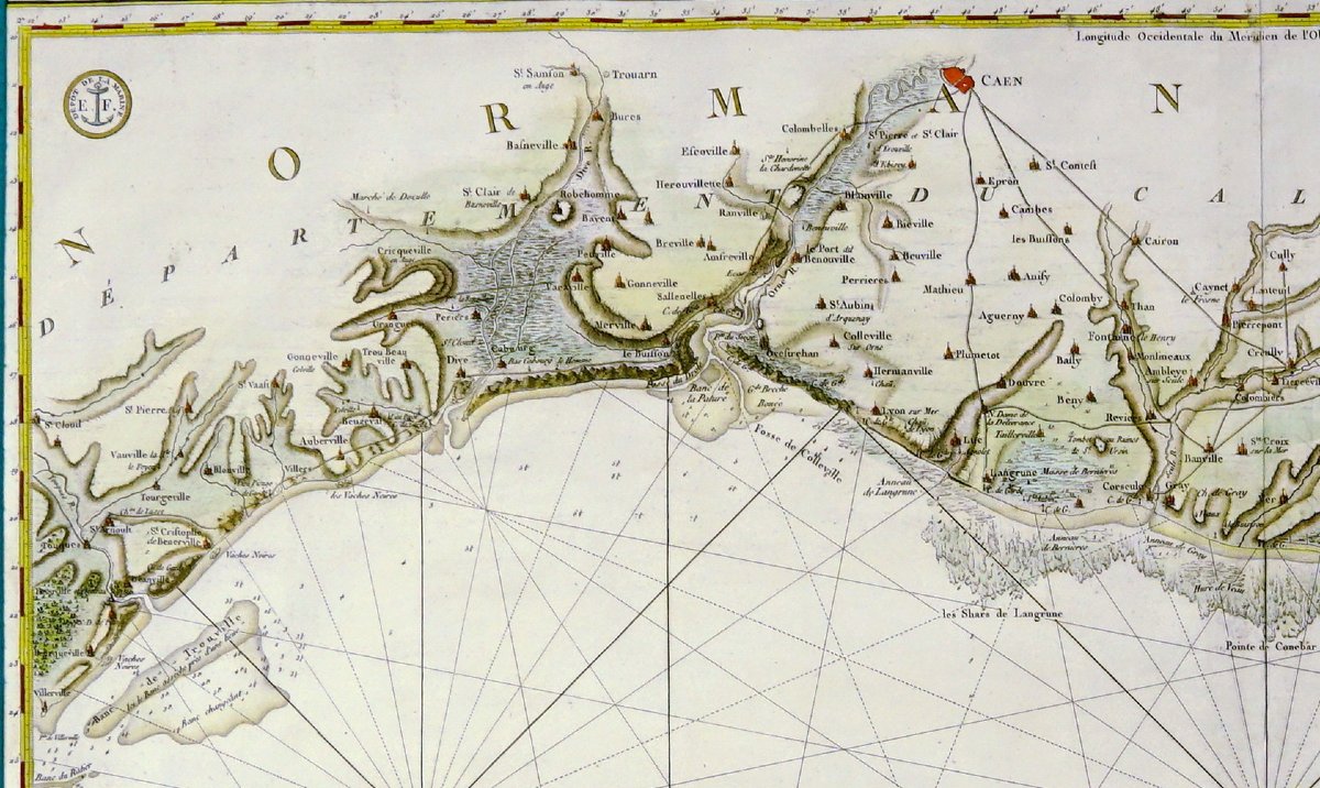
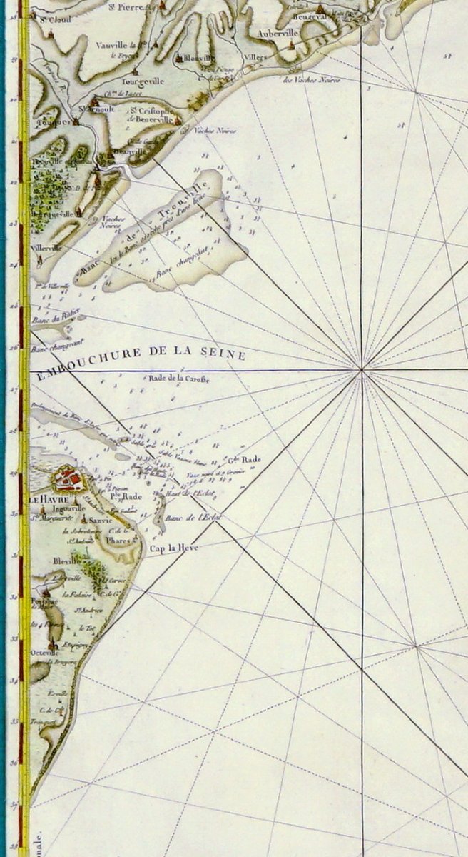
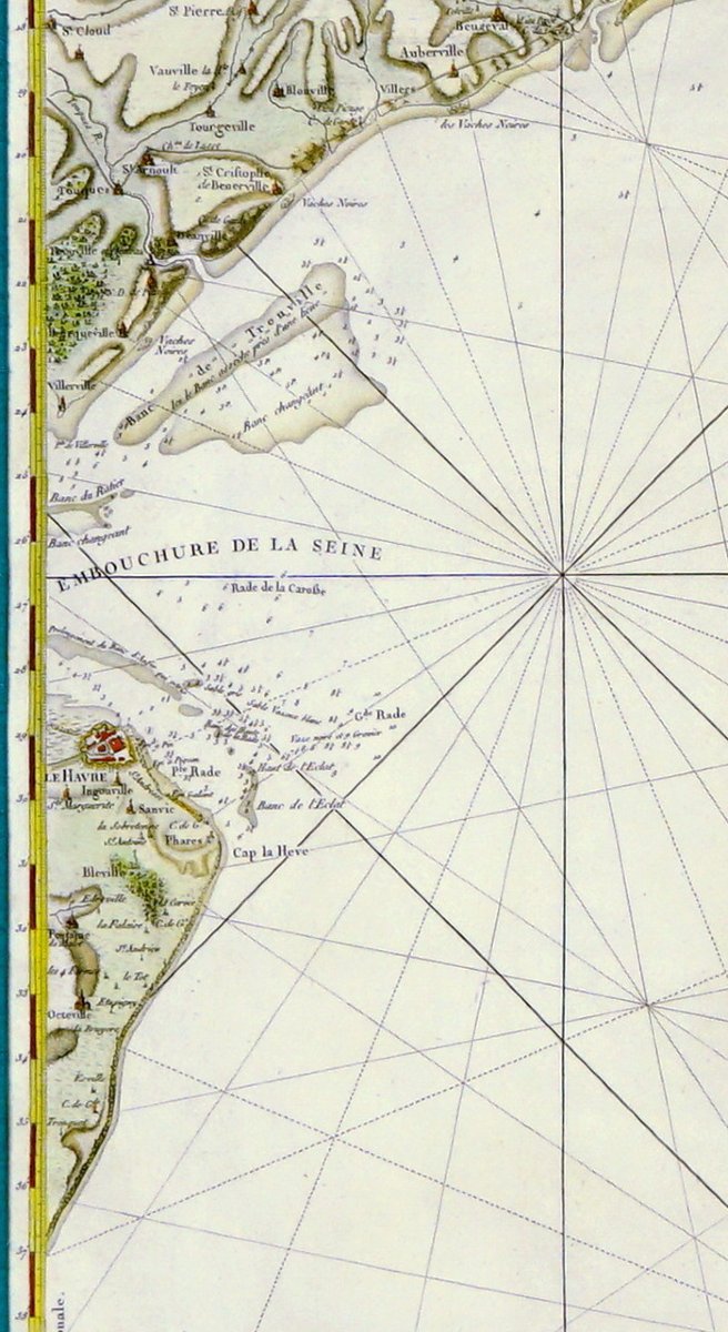
The map unfolds horizontally along a vast coastal strip, with a succession of ports, estuaries, coves and indentations of the Normandy coast. The particularly precise shoreline layout highlights reliefs, marshes, sandbanks and beaching areas, with particular attention paid to river mouths, notably that of the Seine. The hinterland is punctuated by a tight network of localities, villages and towns - Caen, Bayeux and numerous secondary towns - represented by small architectural symbols, linked by a network of roads and paths. The land is treated in green and ochre washes, suggesting variations in the landscape.
The maritime section, largely dominant, is structured by a remarkable network of radiating rhumb lines, typical of navigation charts, forming a geometric web intended to facilitate sea routes. Seabeds, shoals and banks are precisely marked.
The title, arranged on the right-hand side, indicates a publication "par ordre du ministre" for the service of vessels of the French Republic, based on earlier surveys from 1776, testifying to an official and scientific use. The chart is attributed to hydrographic work at the end of the XVIIIᵉ century, in the context of the great maritime survey campaigns.
Dimension(s) : Height. 85.5cm - Length. 1m 13 - Width. de la Baguette : 3 cm,
Condition: PERFECT CONDITION - (Fold in the center like all large nautical charts),
Epoque: FIN XVIIIe - RÉVOLUTIONNAIRE (Dated 1792),
Framing: ACTUEL - Dark green inner fillet in Lukta paper - Aged gold bevel - Marie-Louise in cream wild silk - Molded wooden wand, lightly patinated water gilding (twisted motif).
Period: 18th century
Style: Louis 16th, Directory
Condition: Perfect condition
Material: Paper
Length: 1m13
Height: 85,5 cm
Reference (ID): 1769843
Availability: In stock