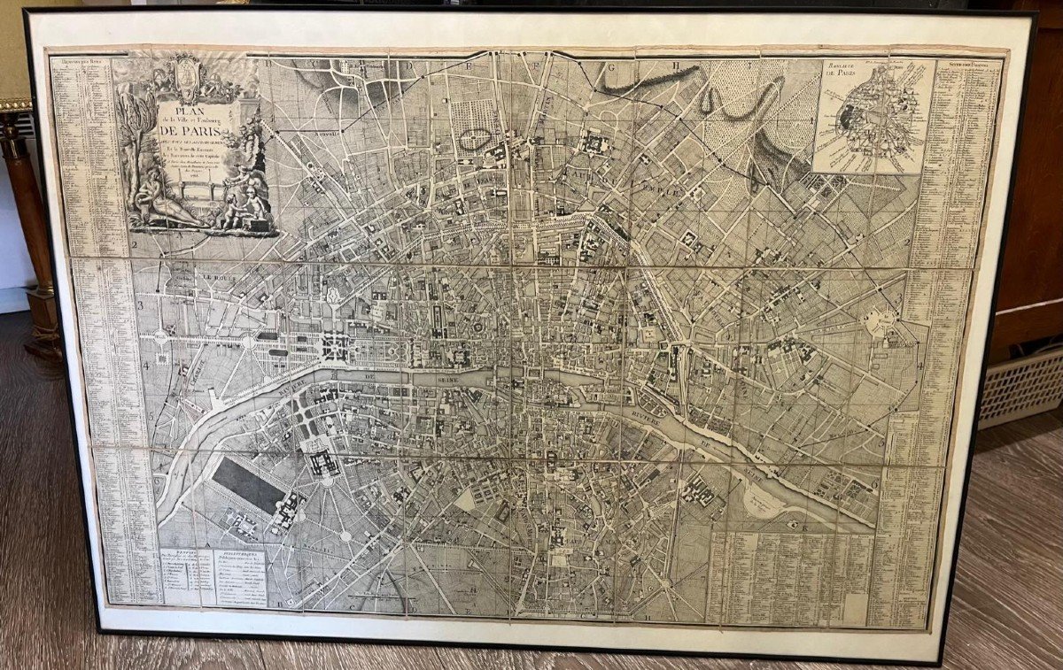
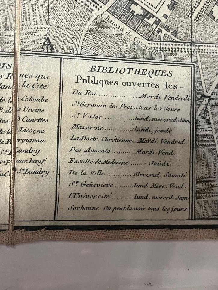
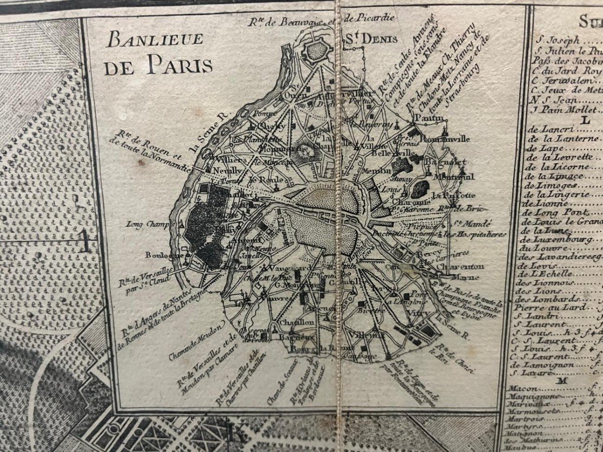


Map Of Paris From 1788
plan of the city and suburb of Paris 1788 with all its additions and the new enclosure map mounted on canvas in 24 sections allegory of MONCEAU with street references. In Paris at Mondhare and Jean rue Saint Jean De Beauvais near that of Noyers 1788
650 €
Period: 18th century
Style: Louis 16th, Directory
Condition: Perfect condition
Material: Paper
Length: 96cm
Height: 62cm
Reference (ID): 1200613
Availability: In stock
Print