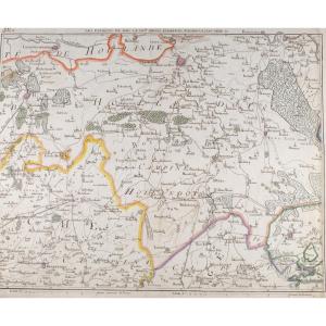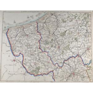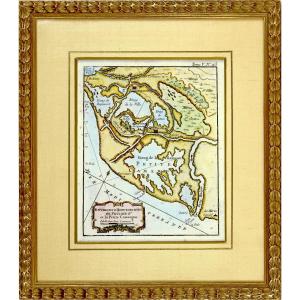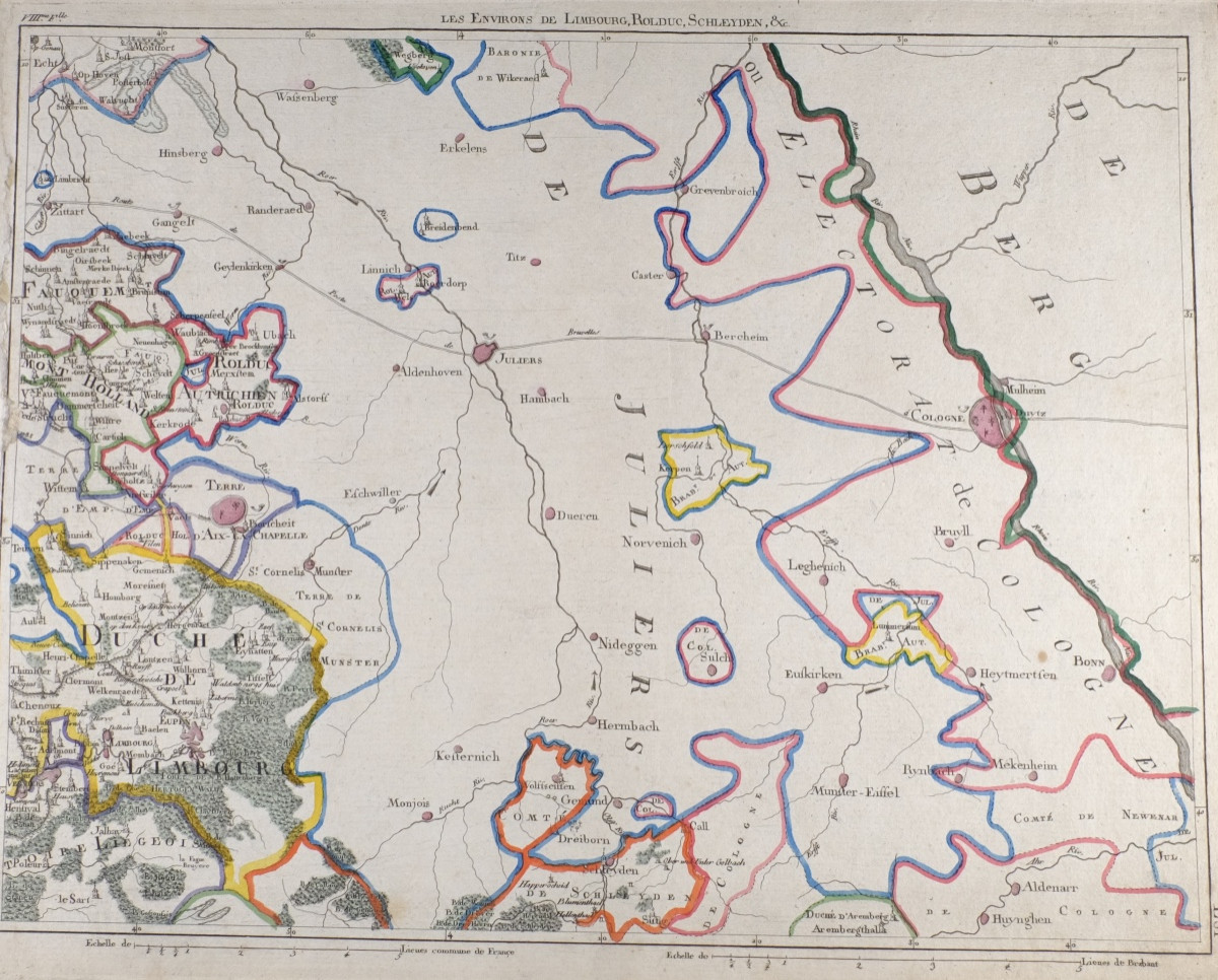

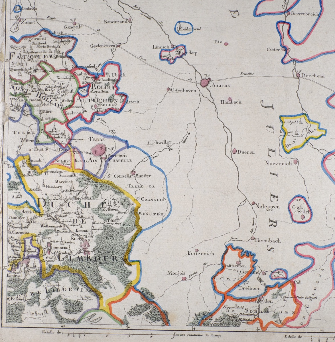


J-b De Bouge (1757-1833) & Jeanne Maillart (xviii Th). Map Of Limbourg, Bolduc, Schleyden,...
Map of the environs of Limbourg, Rolduc, Schleyden,...
Jean-Baptiste de Bouge & Jeanne Maillart, 18th century
Beautiful antique ( colored) map depicting the environs of Limbourg, Rolduc, Schleyden,... executed in the 18th century by Jean-Baptiste de Bouge (1757-1833), renowned Brussels printer-librarian, in collaboration with engraver Jeanne Maillart. Original cartographic work, not a reproduction.
The map features a detailed hydrographic and road network, administrative divisions and major cities, testifying to the political geography of Northern Europe.
Ideal for deco or history buffs.
Jean-Baptiste de Bougewas a major figure in cartographic publishing in Brussels under the Ancien Régime. His productions, often produced in partnership with specialized engravers, feature in the collections of major European heritage institutions.
Era: XVIIIth century Authors/engravers: J.-B. de Bouge & Jeanne Maillart (rare female figure in 18th-century cartographic engraving)Format : 43 × 37 cm Medium : Old laid paper, copperplate engraving Condition : Slight traces of wear inherent to age, even patina. Solid paper, no tears. Document whole, untrimmed.
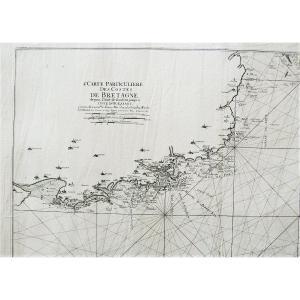
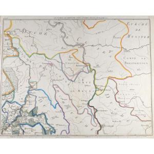
Keywords: early cartography, historic Belgium, Luxembourg, Netherlands, 18th century, De Bouge, copperplate engraving
Delivery:
Belgium:6.10 Eur.
Luxembourg, Germany, Netherlands, France : 17 Eur.
Secure delivery in cardboard tube.
Period: 18th century
Style: Louis 16th, Directory
Condition: Good condition
Material: Paper
Width: 43 cm
Height: 37 cm
Reference (ID): 1744735
Availability: In stock