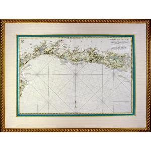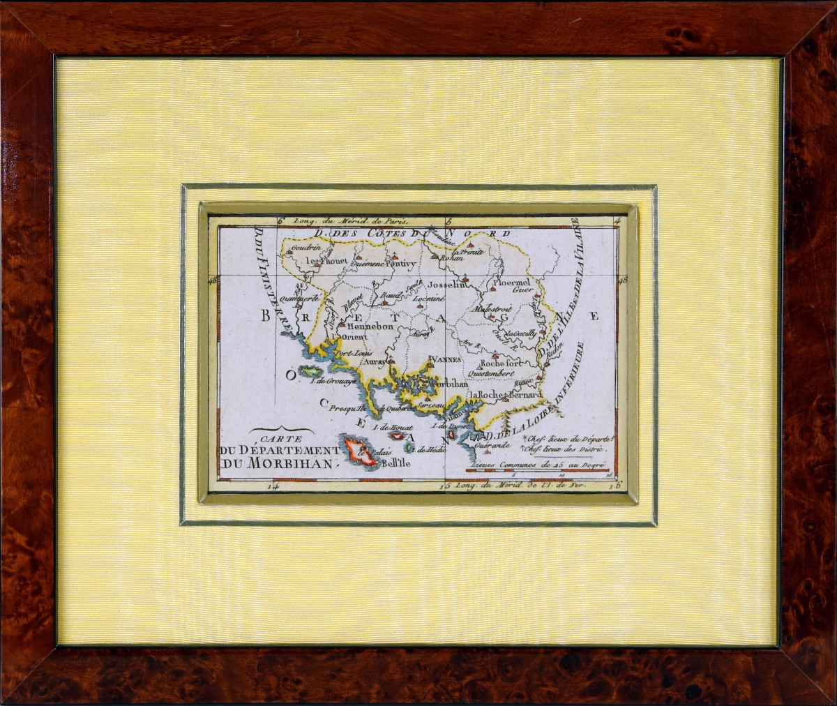


Engraving Of Morbihan (56) - Departmental Map - Revolutionary Ep. (1791)
Original steel engraving with burin. Hand watercolored.
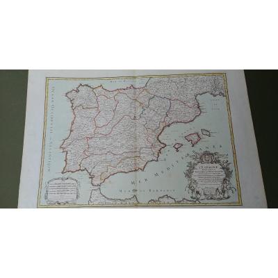
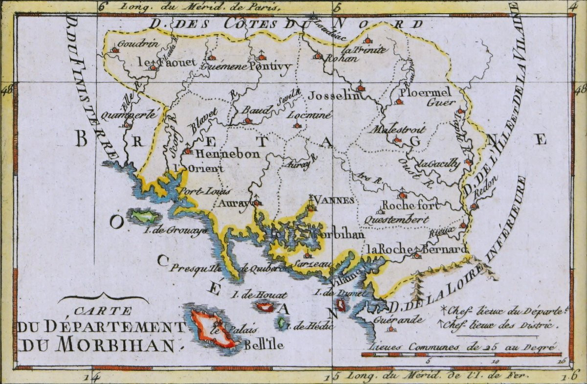
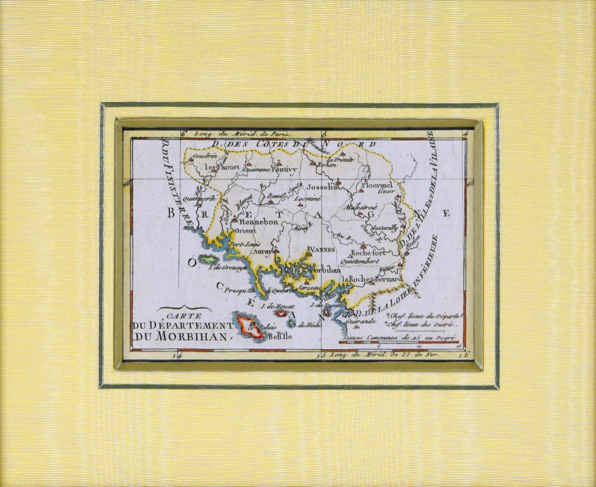
Beautiful antique map depicting the Morbihan department, published in 1791, shortly after the creation of the French departments during the Revolution in 1789. This engraving, colored at the time, accurately depicts Brittany's southern coastline, as well as the department's main towns, ports, rivers and administrative divisions.
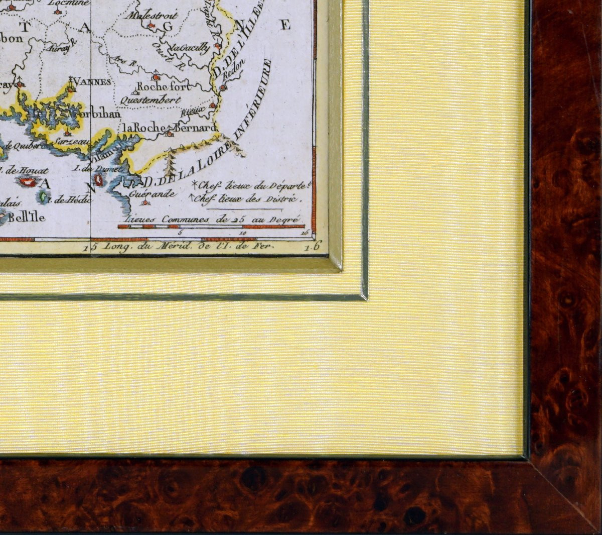
It particularly highlights the jagged coastline of the Gulf of Morbihan, treated with an important blue and yellow highlighting of the coasts, islands and peninsulas. These include Vannes, Auray, Hennebont, Pontivy, Josselin, Rochefort-en-Terre, La Roche-Bernard and Port-Louis. The islands of Belle-Île, Houat, Hœdic and Groix also appear with a watercolor treatment characteristic of revolutionary maps from the late 18th? century.
Dimension(s): Framing - Length: 29 cm - Height: 24.3 cm - Width. Baguette: 2 cm,
Condition: PERFECT CONDITION,
Epoque:Engraving(s) - XVIIIth (1791),
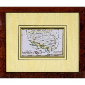
Framing(s): Current mounting composed of an aged gold bevel, a straw yellow moire passe-partout, underlined with an aged gold fillet. The whole is encircled by a burr walnut wood rod.
Period: 18th century
Style: Louis 16th, Directory
Condition: Perfect condition
Material: Paper
Length: 29 cm
Height: 24.3 cm
Reference (ID): 1762790
Availability: In stock