
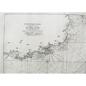


Côtes De Bretagne l'Anse De Goulven Isle Of Ouessant Old Geographical And Marine Map 18th C
18th century maritime map.
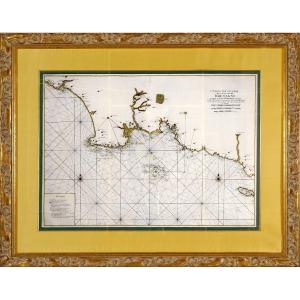
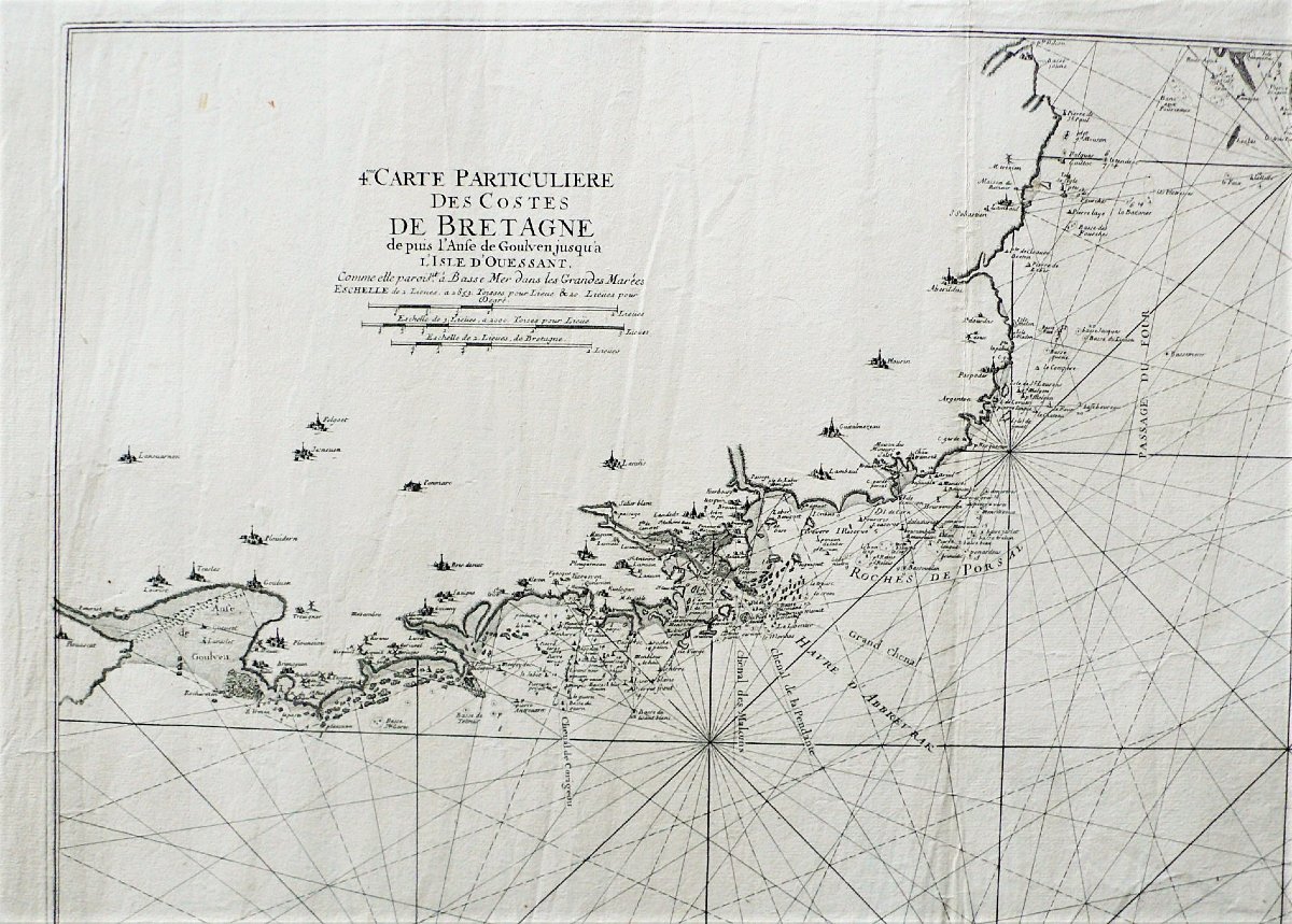
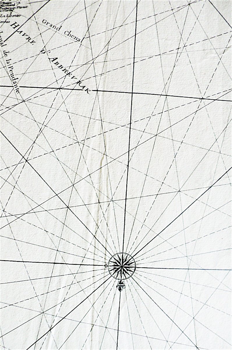
Particular map of the Côtes de Bretagne from the Goulven cove to the Isle of Ouessant, probably by Le Rouge.
Dimensions: 58 x 80.3 cm 22.83 x 31.61 inches in the line
66.5 x 99 cm 26.18 x 38.97 inches sheet
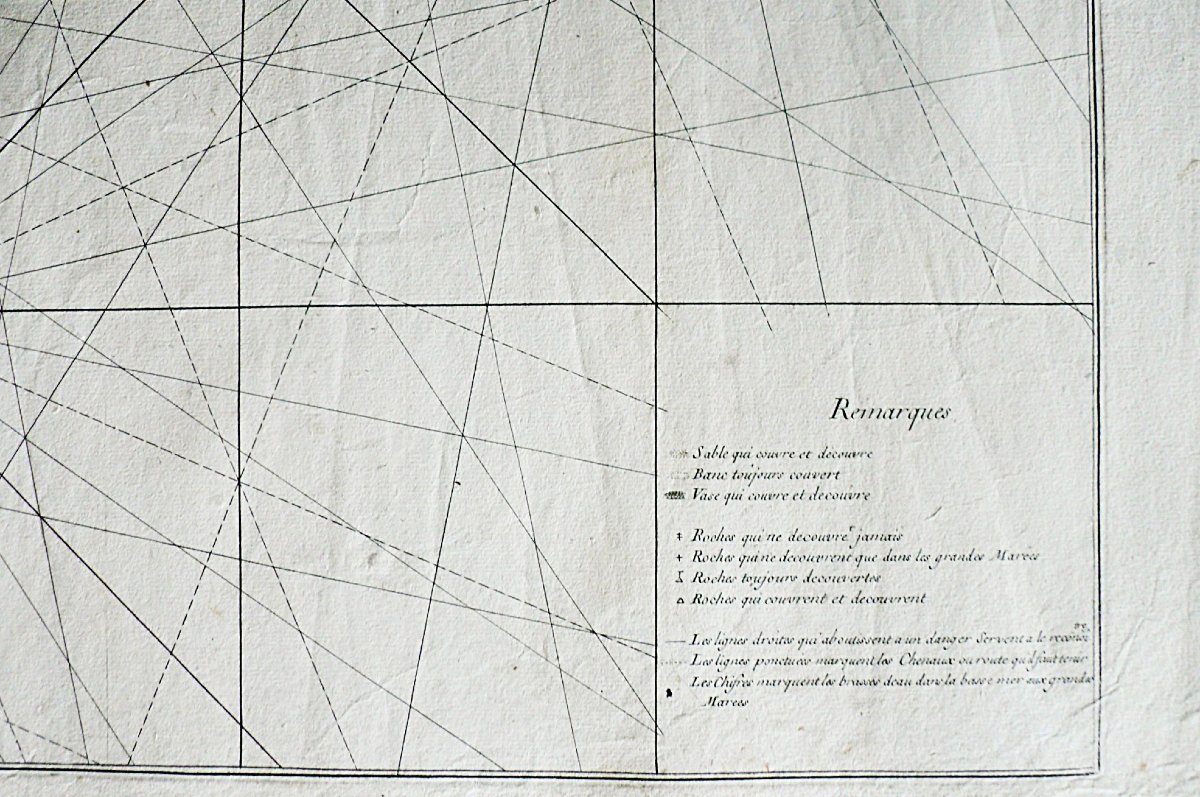
The work has been restored by a licensed professional conservator. All our prints and drawings for sale are in good condition. If necessary, they have been repaired by a licensed professional conservator.
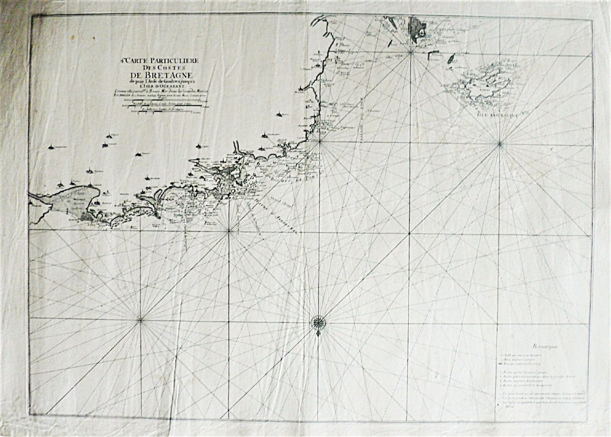
Particular map of the Côtes de Bretagne from the Goulven cove to the Isle of Ouessant, probably by Le Rouge.
Dimensions: 58 x 80.3 cm 22.83 x 31.61 inches in the line
66.5 x 99 cm 26.18 x 38.97 inches sheet
The work has been restored by a licensed professional conservator. All our prints and drawings for sale are in good condition. If necessary, they have been repaired by a licensed professional conservator.
790 €
Period: 18th century
Style: Louis 16th, Directory
Condition: Good condition
Material: Paper
Width: 66,5 cm
Height: 99 cm
Reference (ID): 1771124
Availability: In stock
Print