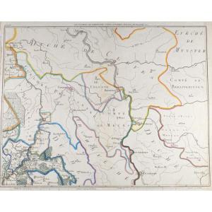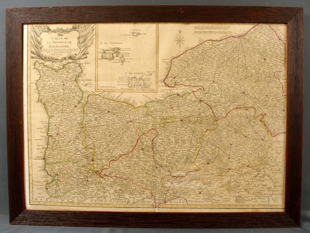
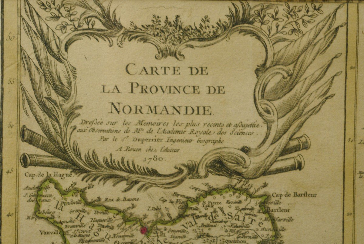
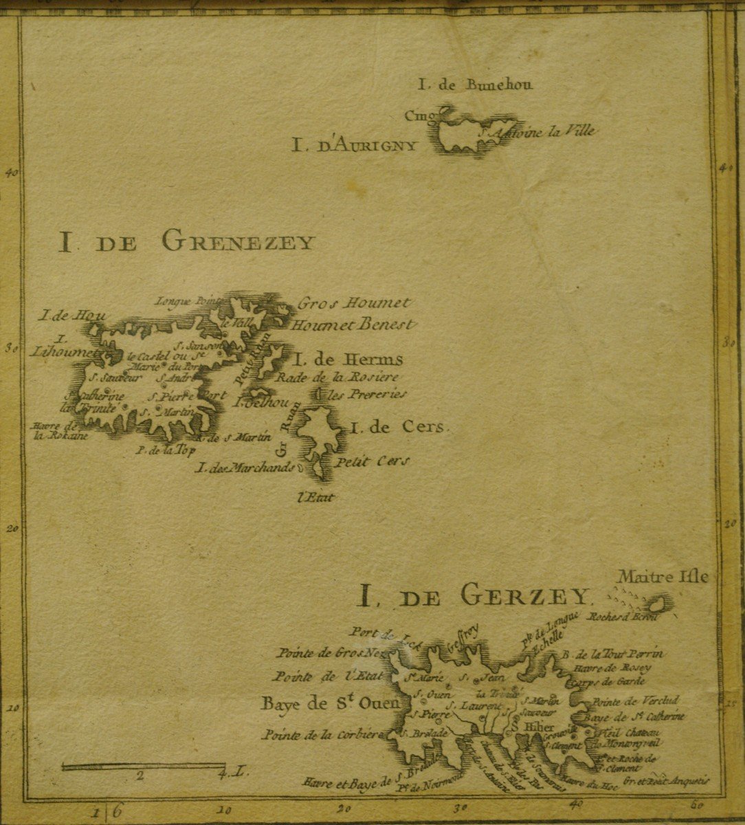
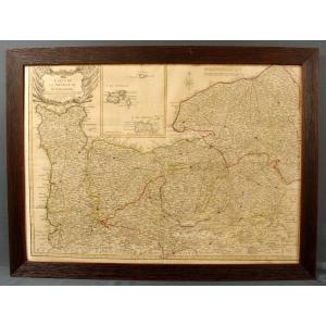


Map Of The Province Of Normandy By Duperrier Dated 1780
Map of Normandy dated 1780 executed by Duperrier engineer Geographer in Rouen. In a posterior frame (20th) view format 68cm X 49cm, with frame 77.5cm X 58cm.
280 €
Period: 18th century
Style: Louis 16th, Directory
Condition: Excellent condition
Material: Paper
Length: 77,5cm
Height: 58cm
Reference (ID): 1094424
Availability: In stock
Print