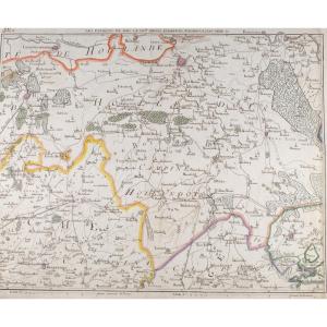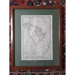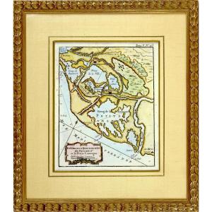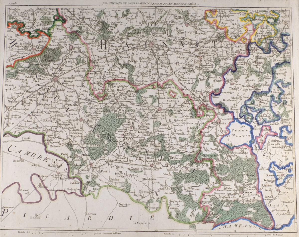
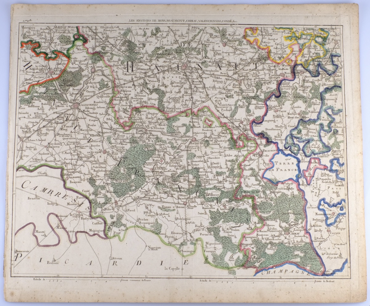
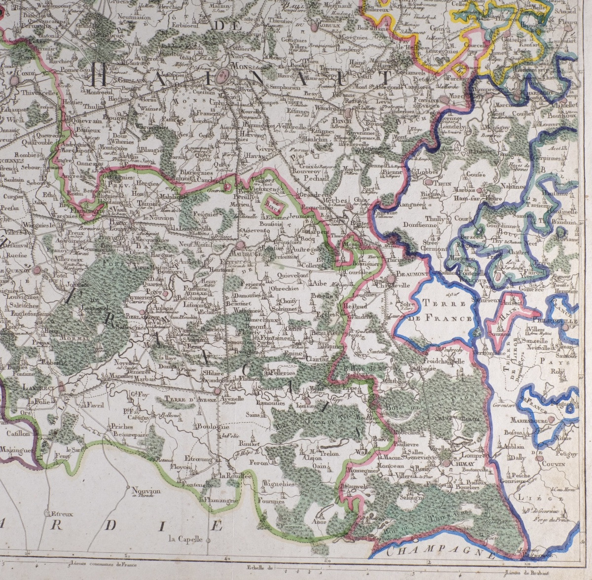
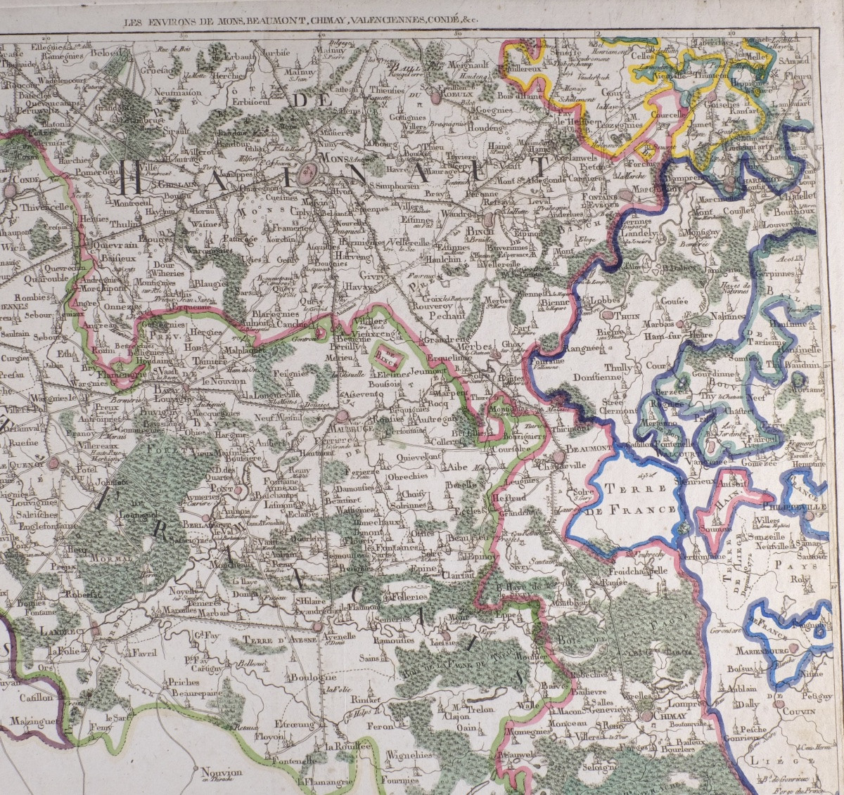
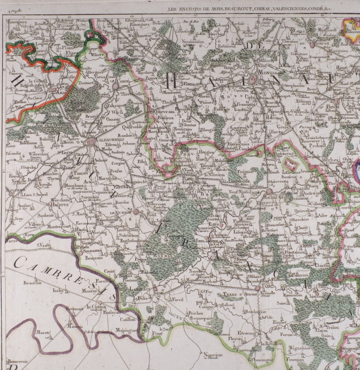
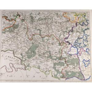


J-b De Bouge (1757-1833) & Jeanne Maillart (xviii Th). Map Of Mons, Chimay,valencienne,conde
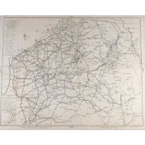
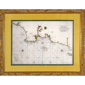
Map of the Austrian Netherlands, Luxembourg and the United Provinces and Northern France.
Jean-Baptiste de Bouge & Jeanne Maillart, 18th century
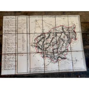
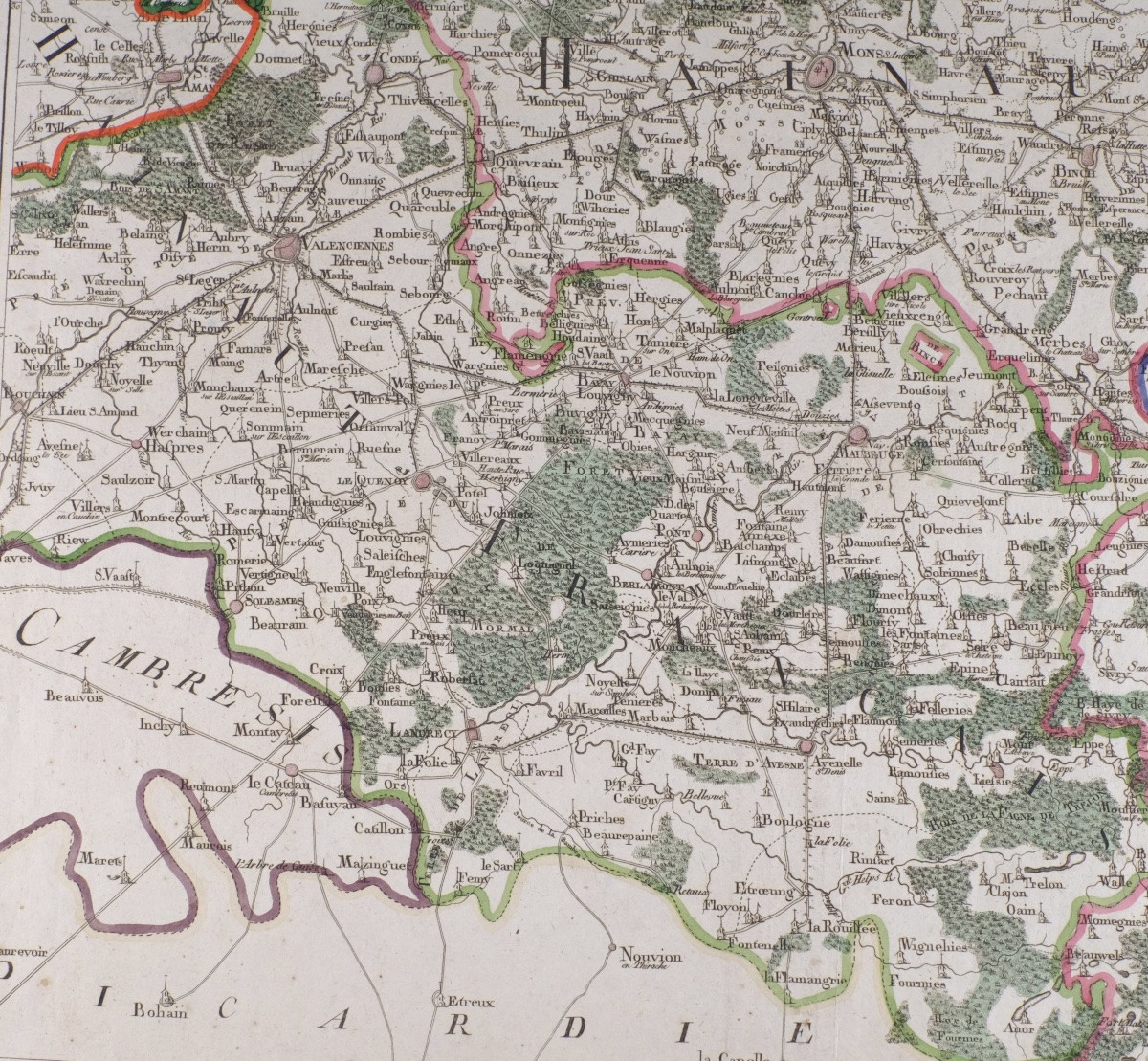
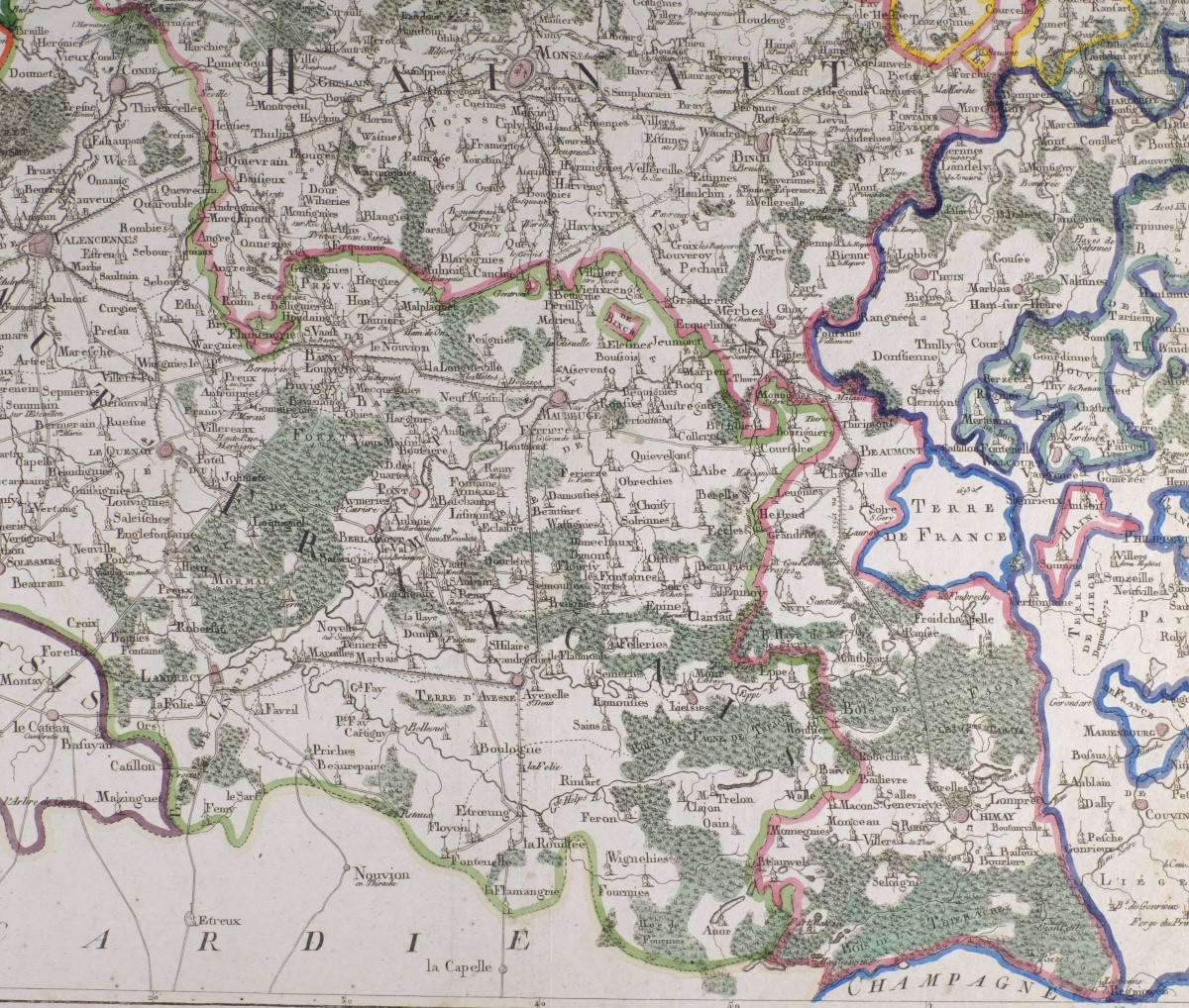
Beautiful antique ( colored) map depicting Hainaut, Mons, Valenciennes, Beaumont, Chimay, Condé , executed in the 18th century by Jean-Baptiste de Bouge (1757-1833), renowned Brussels printer-librarian, in collaboration with engraver Jeanne Maillart. Original cartographic work, not a reproduction.
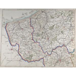
The map features a detailed hydrographic and road network, administrative divisions and major towns of the former Southern Netherlands (now Belgium), Luxembourg and the United Provinces (now Holland) and Northern France, testifying to the political geography of Northern Europe.
Ideal for deco or history buffs.
Jean-Baptiste de Bouge was a major figure in cartographic publishing in Brussels under the Ancien Régime. His productions, often produced in partnership with specialized engravers, feature in the collections of major European heritage institutions.
Era: XVIIIth century Authors/engravers: J.-B. de Bouge & Jeanne Maillart (rare female figure in 18th-century cartographic engraving)Format : 43 × 37 cm Medium : Old laid paper, copperplate engraving Condition : Slight traces of wear inherent to age, even patina. Solid paper, no tears. Document whole, untrimmed.
Keywords: early cartography, historic Belgium, Luxembourg, Netherlands, 18th century, De Bouge, copperplate engraving
Delivery:
Belgium:6.10 Eur.
Luxembourg, Germany, Netherlands, France : 17 Eur.
Secure delivery in cardboard tube.
Period: 18th century
Style: Louis 16th, Directory
Condition: Good condition
Material: Paper
Length: 43 cm
Height: 37
Reference (ID): 1744681
Availability: In stock