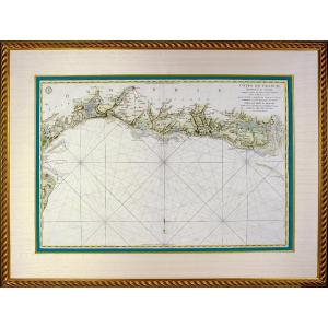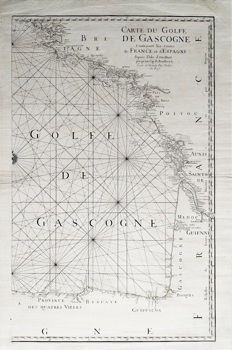
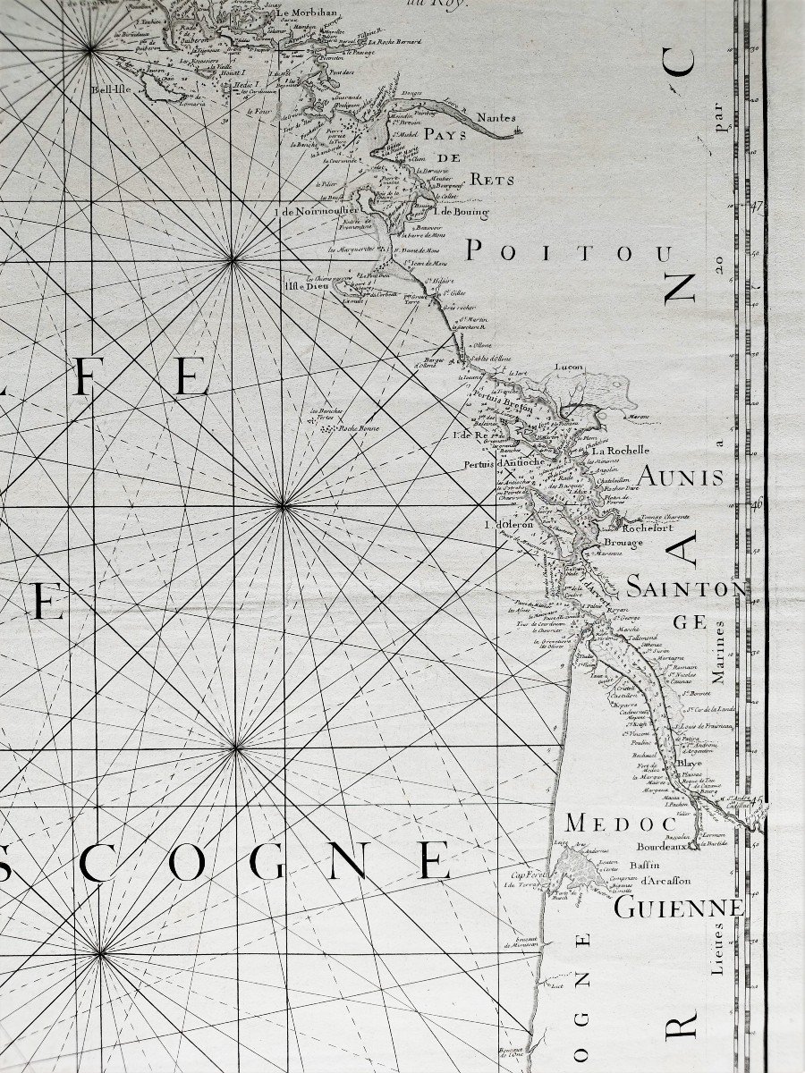
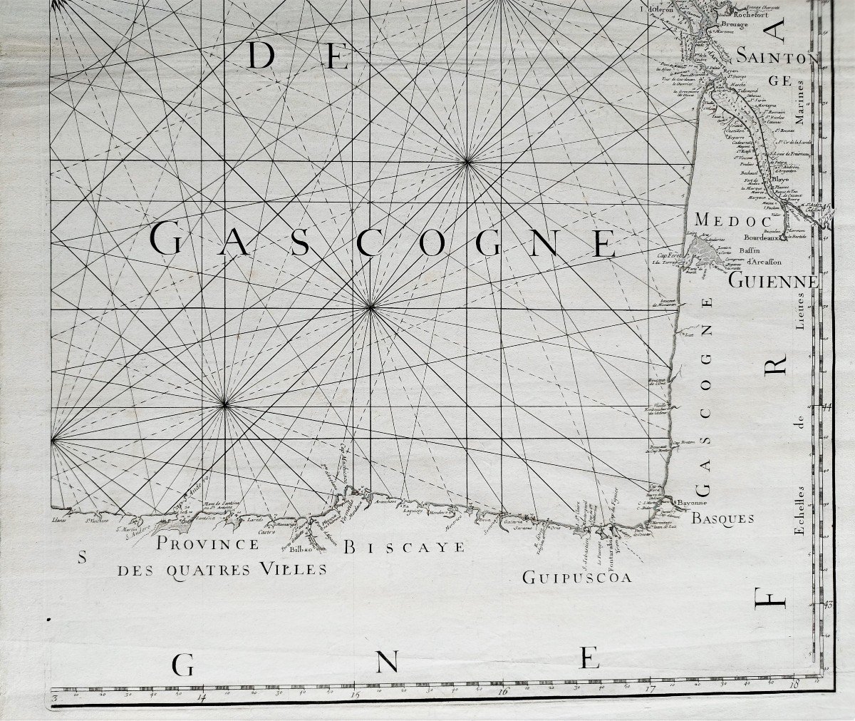
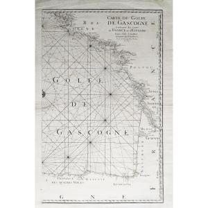


Map Of The Bay Of Biscay Eighteenth C. Engraving
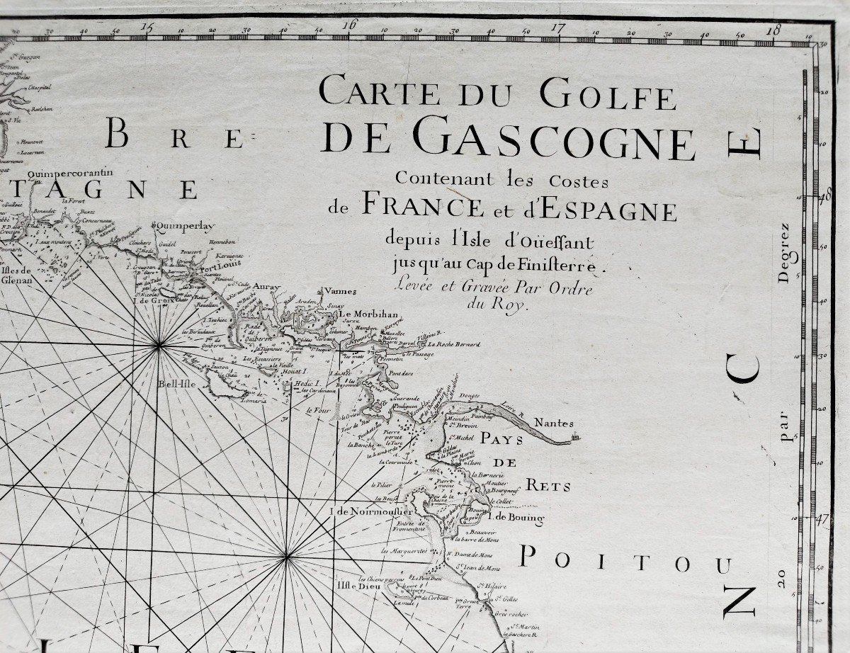
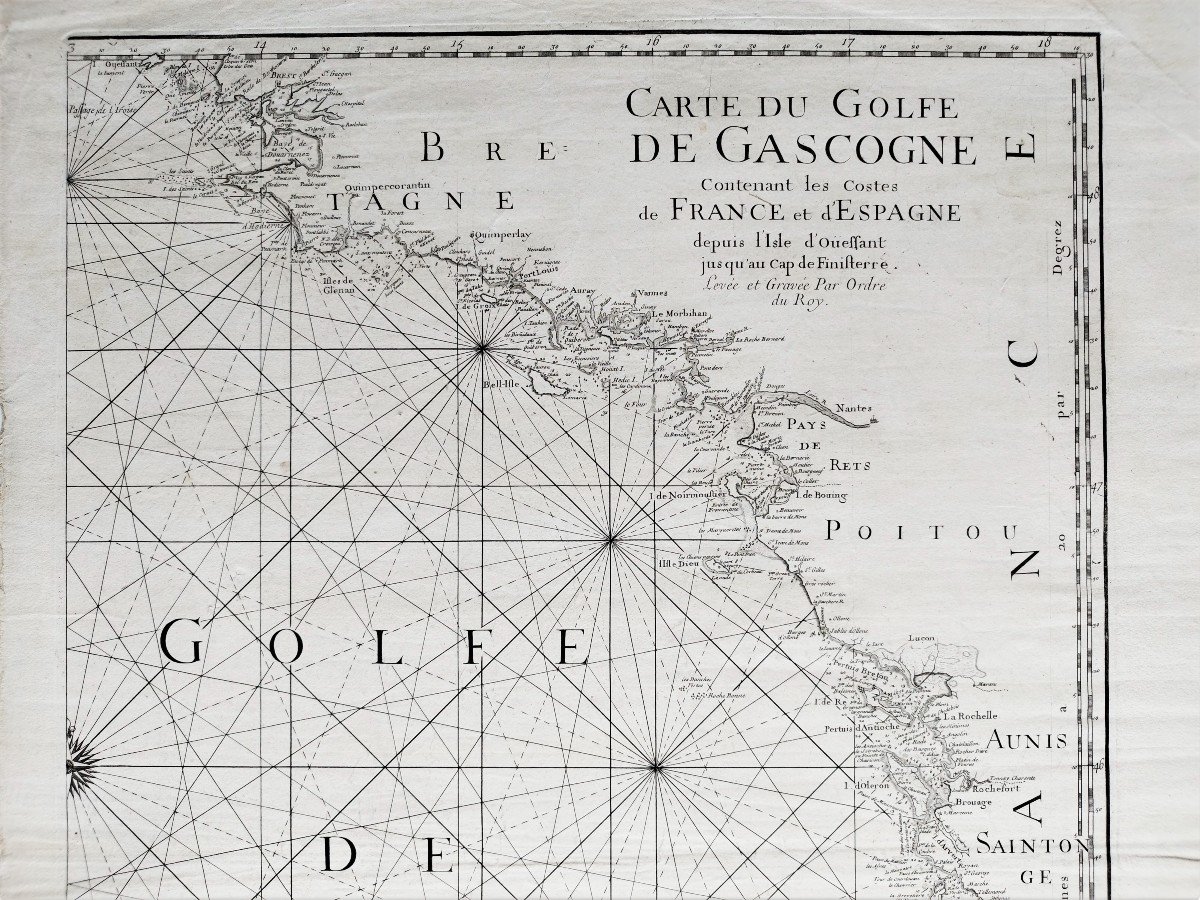
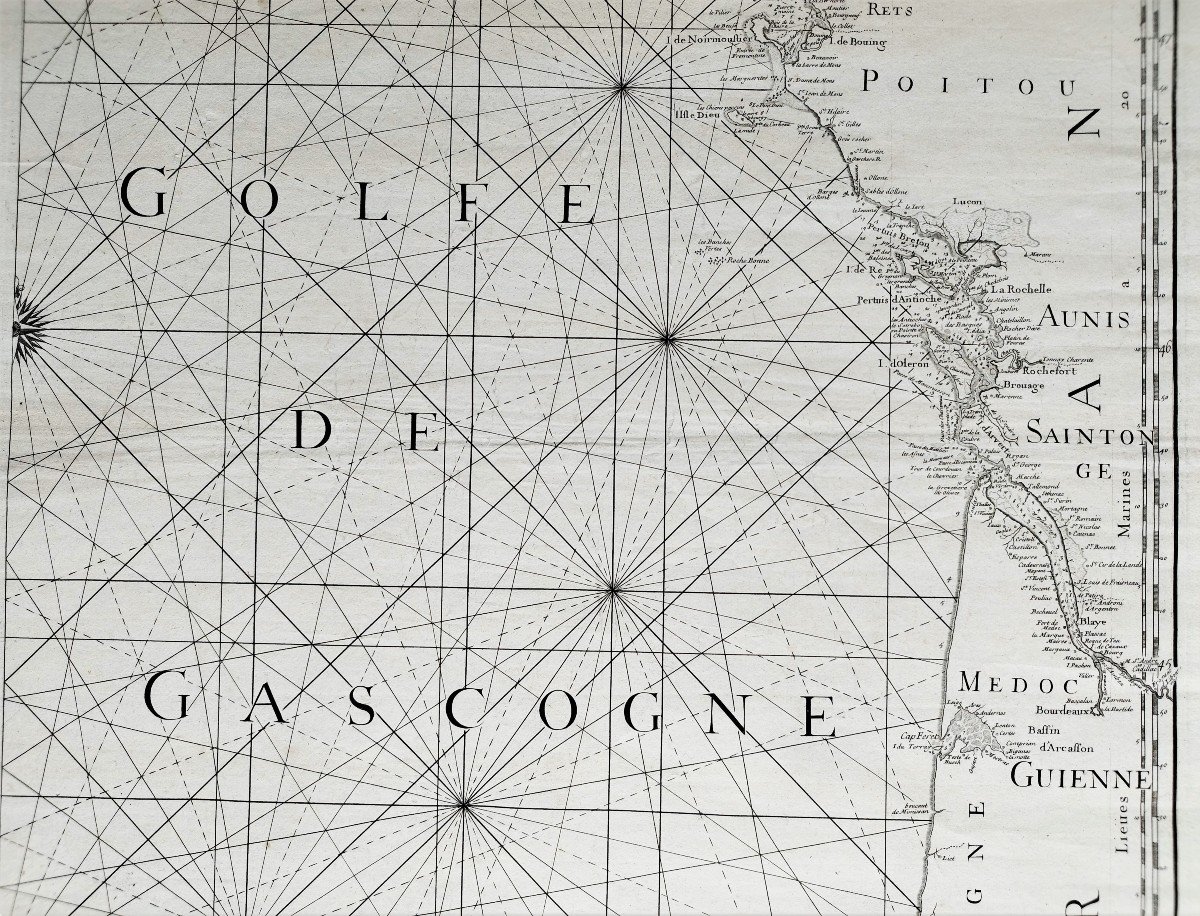
Maritime chart of the Bay of Biscay containing the Costes of France and Spain from the Ile d'Ouessant to the Cap de Finistère, surveyed and engraved by order of the Roy (King)
18th century maritime chart
Watermark : Maltese cross
Subject: 73.7 x 46.2 cm
Sheet: 80 x 57 cm
Good condition.
This work has been restaured by a professional & accurate restaurer.
All our old prints are offered in good condition. When necessary, they have been restored by a professional restorer.
18th century maritime chart
Watermark : Maltese cross
Subject: 73.7 x 46.2 cm
Sheet: 80 x 57 cm
Good condition.
This work has been restaured by a professional & accurate restaurer.
All our old prints are offered in good condition. When necessary, they have been restored by a professional restorer.
820 €
Period: 18th century
Style: Louis 16th, Directory
Condition: Good condition
Material: Paper
Width: 57 cm
Height: 80 cm
Reference (ID): 1184595
Availability: In stock
Print