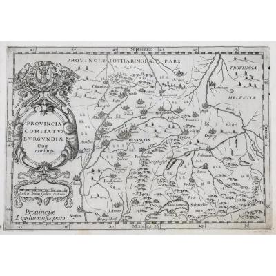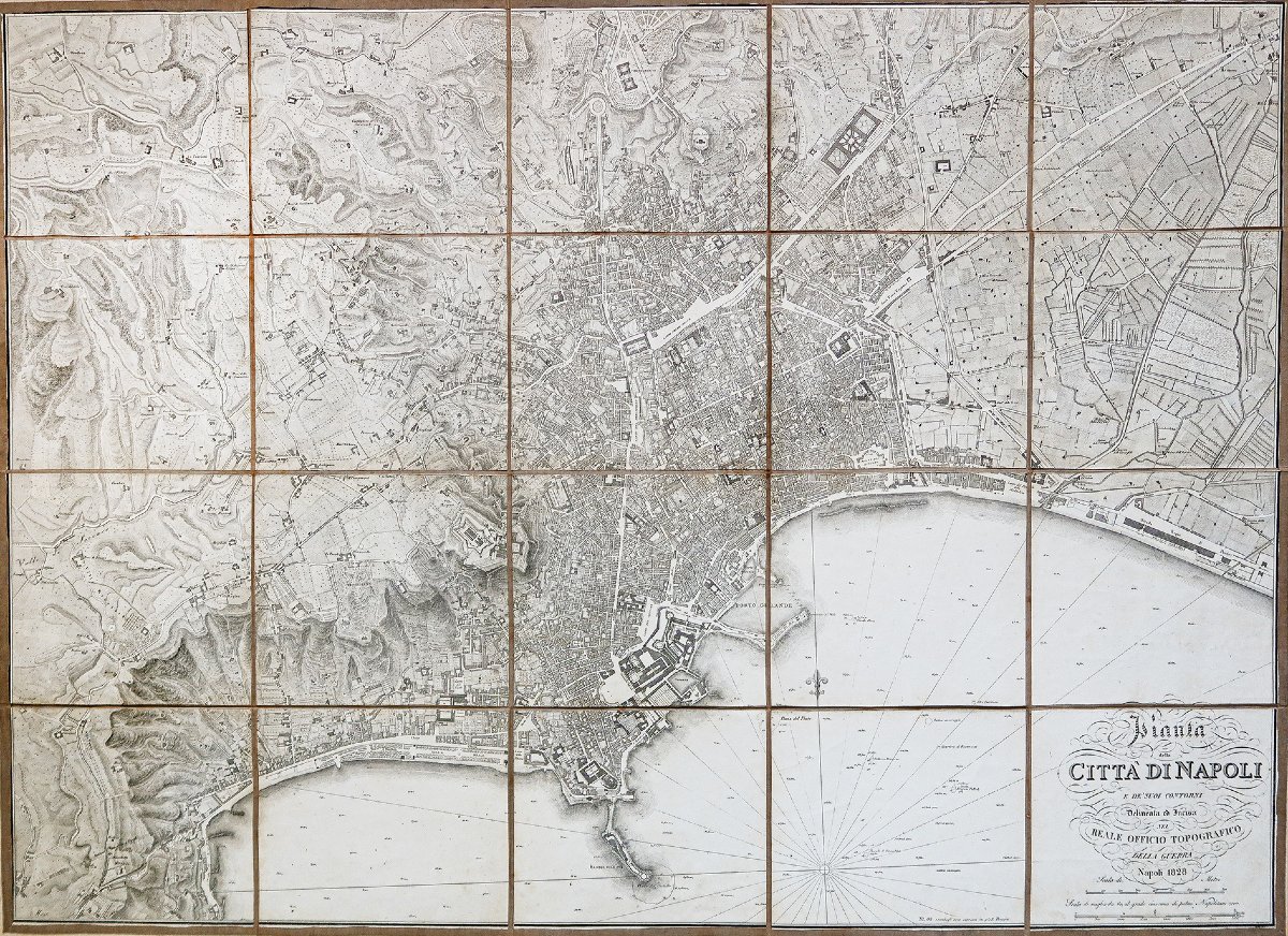
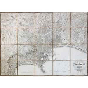

Old Map Of Naples
Map of the City of Naples. Naples, RoyalTopographical Office of War.
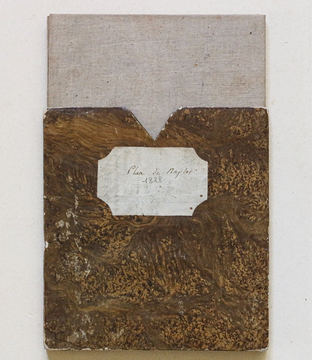
Original map from 1828. Period map mounted on canvas, assembled in 20 sections, with protective case.
Good condition.
Unfolded size: 96.5 x 70 cm.
Folded size: 20 x 18.5 cm.
Antique original map from 1828.
Rare.
Its conception appears to date back to 1814, the year of the creationof the War Depot, but the survey was later completed by the engineer andgeographer Giosuè Russo.By 1820, operations at the copper minemust already have begun. In 1823, the work was expected to take one year and four months,but the new city plan was not completed until 1828.
1 100 €
Period: 19th century
Style: Other Style
Condition: Excellent condition
Material: Paper
Reference (ID): 1783869
Availability: In stock
Print