Old Maps
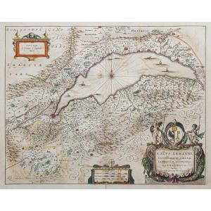
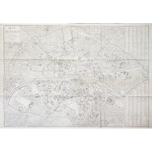
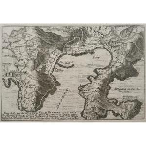
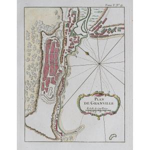
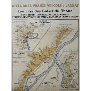
Atlas Of French Wines. Map "the Wines Of The Côtes Du Rhône". Lou[...]
20th century
150 €
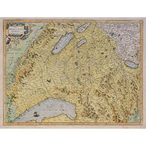
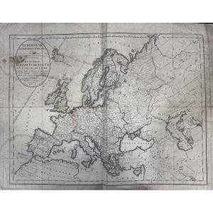
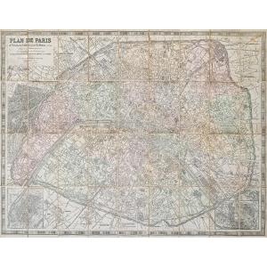
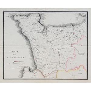
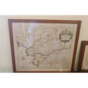
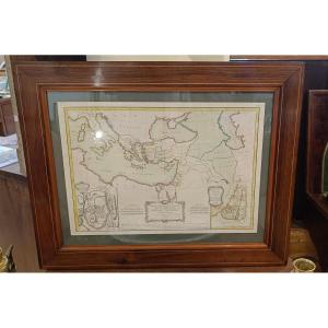
Watercolor And Framed Map From The 17th Century By H. Jaillot Of [...]
17th century
580 €


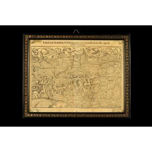
Old Map Of The Town Of Rouffach (alsace), Circa 1550 / Book By Fr[...]
16th century
360 €
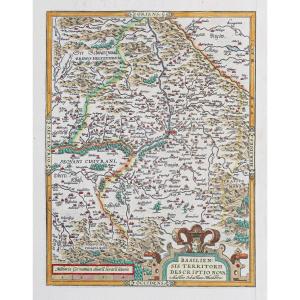

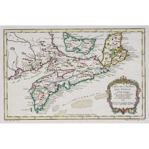
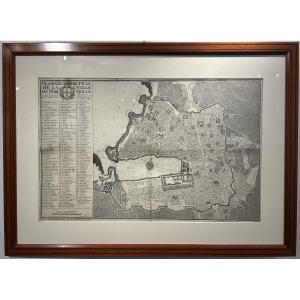
Geometrical Plan Of The City Of Marseille, Jean Pierre Besson Fil[...]
18th century
1 200 €
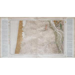

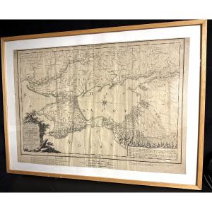
Large Map 1788, Government Of Tauride, Crimea, By Dezauche, Russi[...]
18th century
400 €



Large Geographical Map Of Aquitaine By Johann Baptist Homann, 17[...]
17th century
340 €

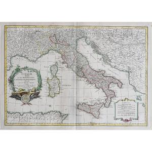
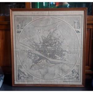

Watercolor And Framed Map Of The Province Of Brittany, Montecaler[...]
18th century
560 €


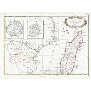
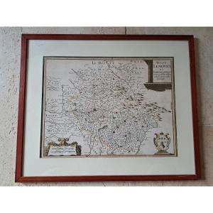
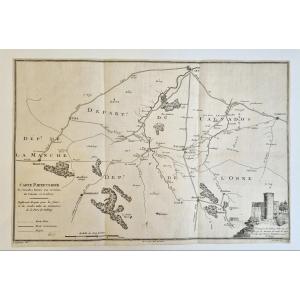
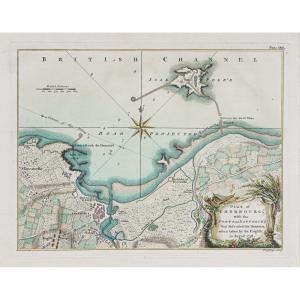


Antique Map Under Glass, Duchy Of Brittany, 1632, By Joannes Jans[...]
17th century
200 €

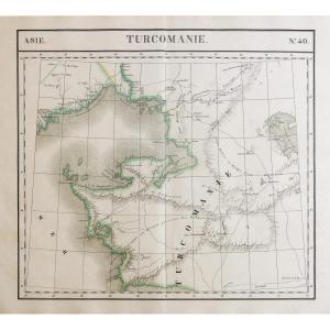


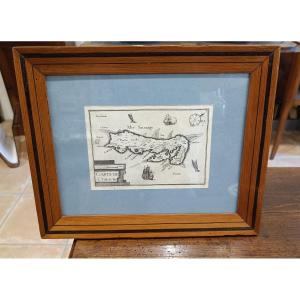



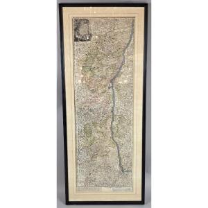
Engraving "alsatia" (alsace) Cartographer Johan Batist Homann 166[...]
18th century
900 €