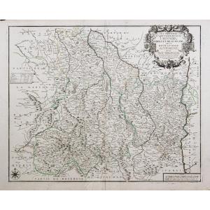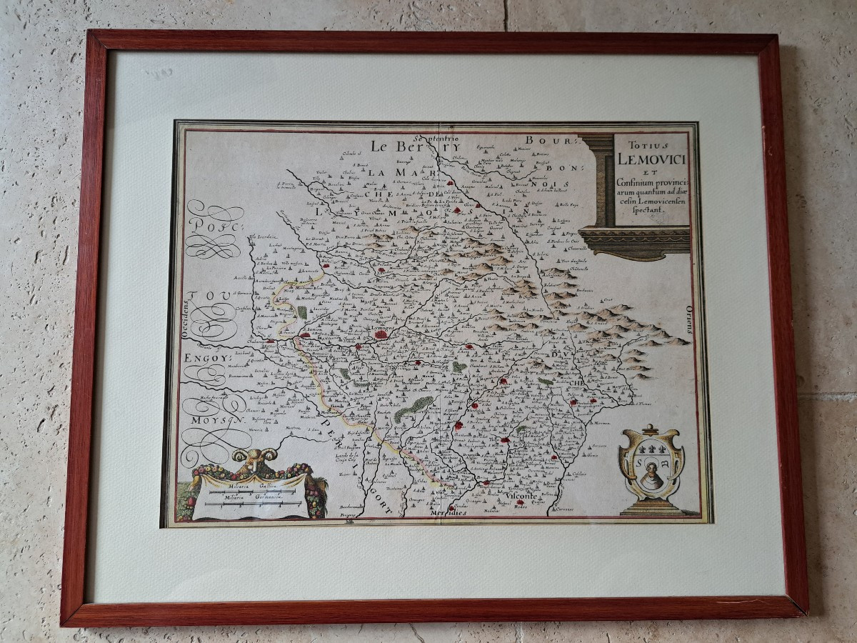
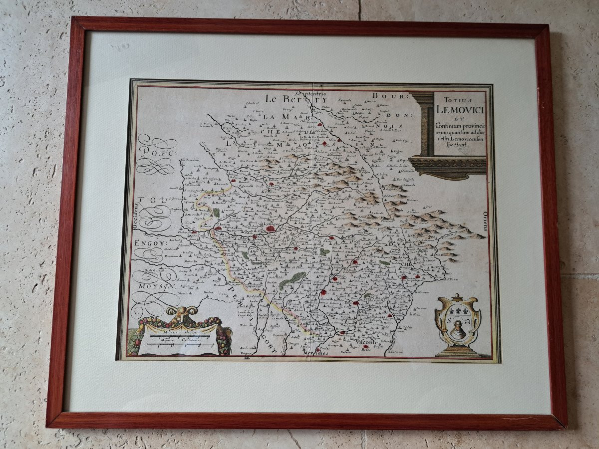
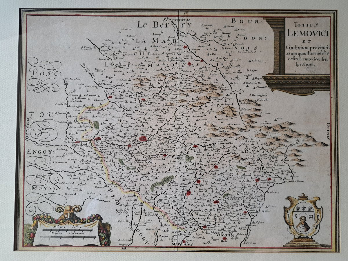
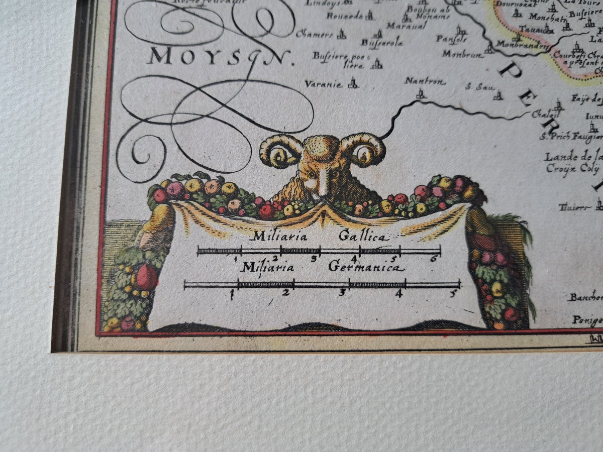
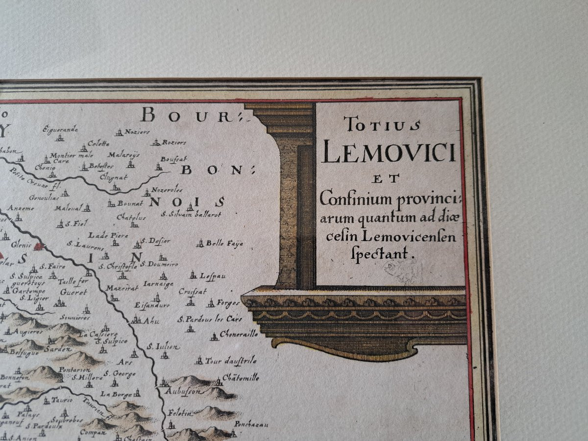
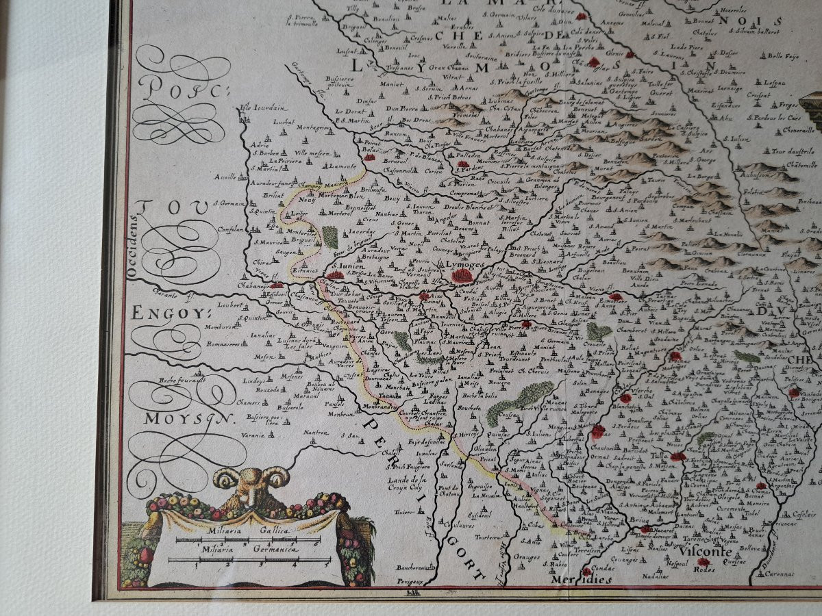
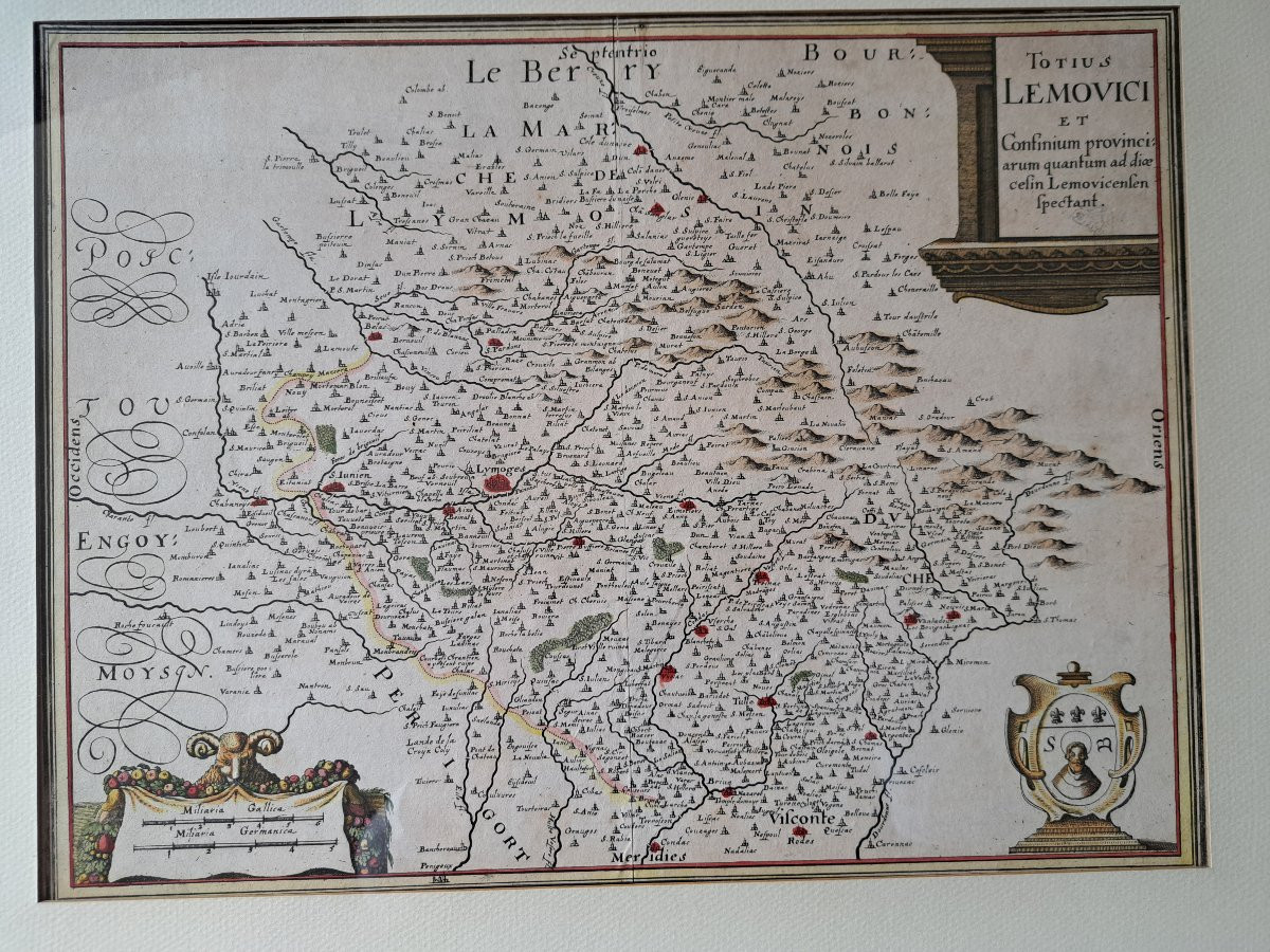
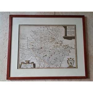


Totius Lemovici, Old Map, Merian, 17th Century.
Artist: Matthäus Merian Cartographe , Et Caspar Merian éditeur .
A very fine antique map of the Limousin province, Totius Lemovici et confinium provinci, Cartographer: Matthäus Merian, Publisher: Caspar Merian, Printed in Frankfurt in 1657, In good condition, simple frame, Extract from "Topographiae Galliae", Weight: 1360 g, Dimensions: Height: 40 cm, Width: 48.5 cm. Map only (viewable image): Height: 28.5 cm, Width: 37 cm.
180 €
Period: 17th century
Style: Other Style
Condition: Good condition
Material: Paper
Width: 48.5 cm
Height: 40 cm
Reference (ID): 1662736
Availability: In stock
Print