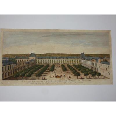
Old Maps

Old Geographical Map - Potamography Of Garone And Rivers That Go [...]
17th century
850 €
![]()

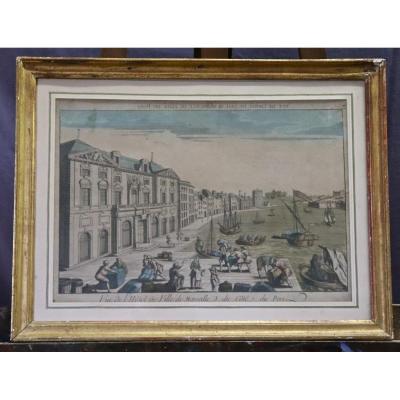
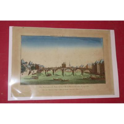
View Of The Arno And The City Of Florence, Optical Engraving 18th[...]
18th century
200 €


Rare Carte Du Département Du Rhône d'Epoque Révolutionnaire.
18th century
150 €