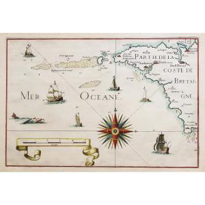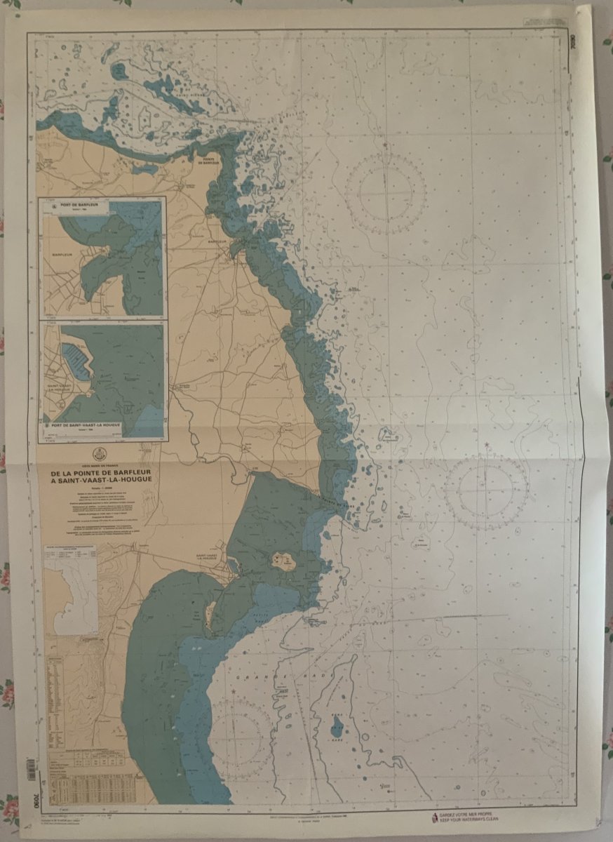
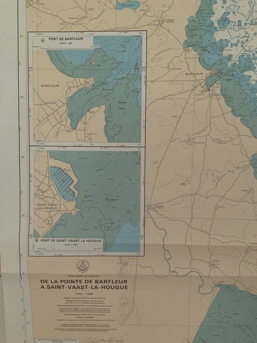
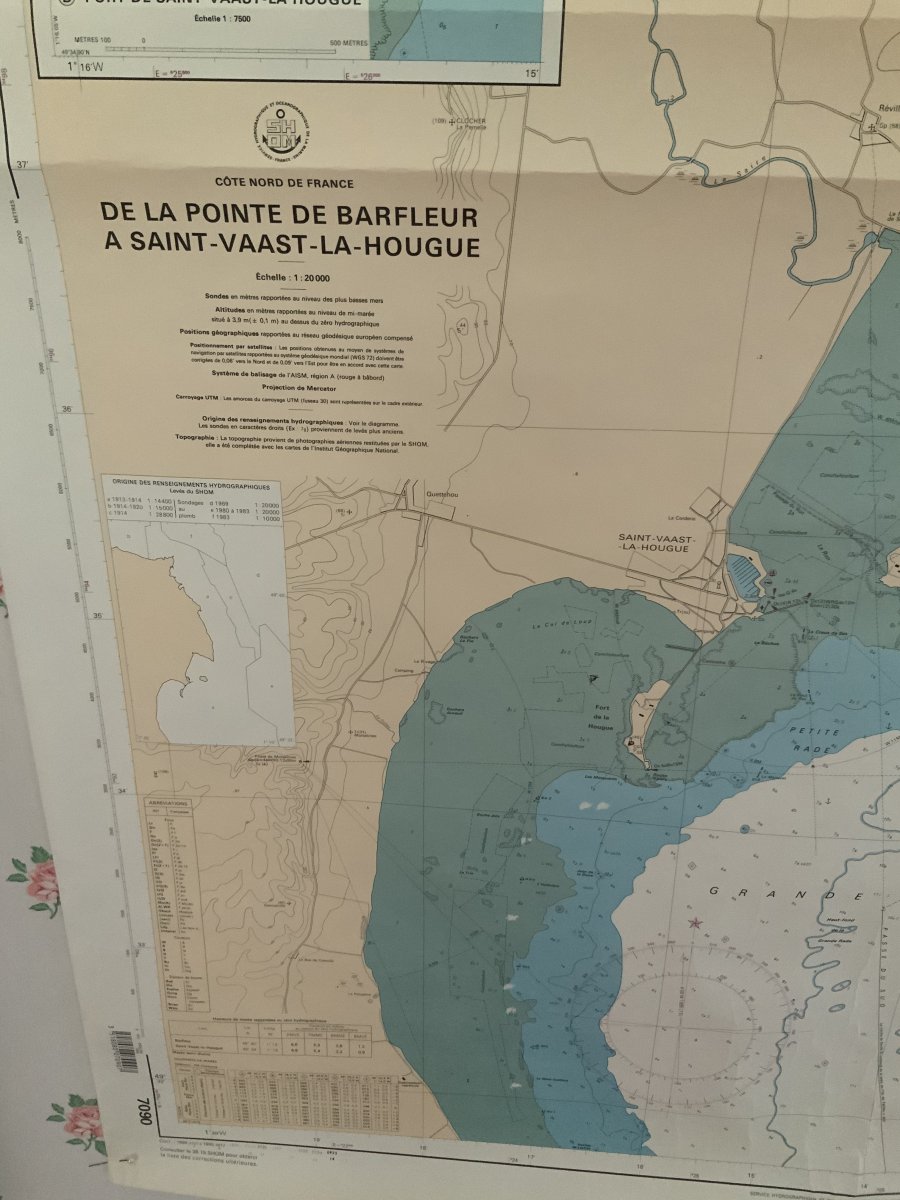
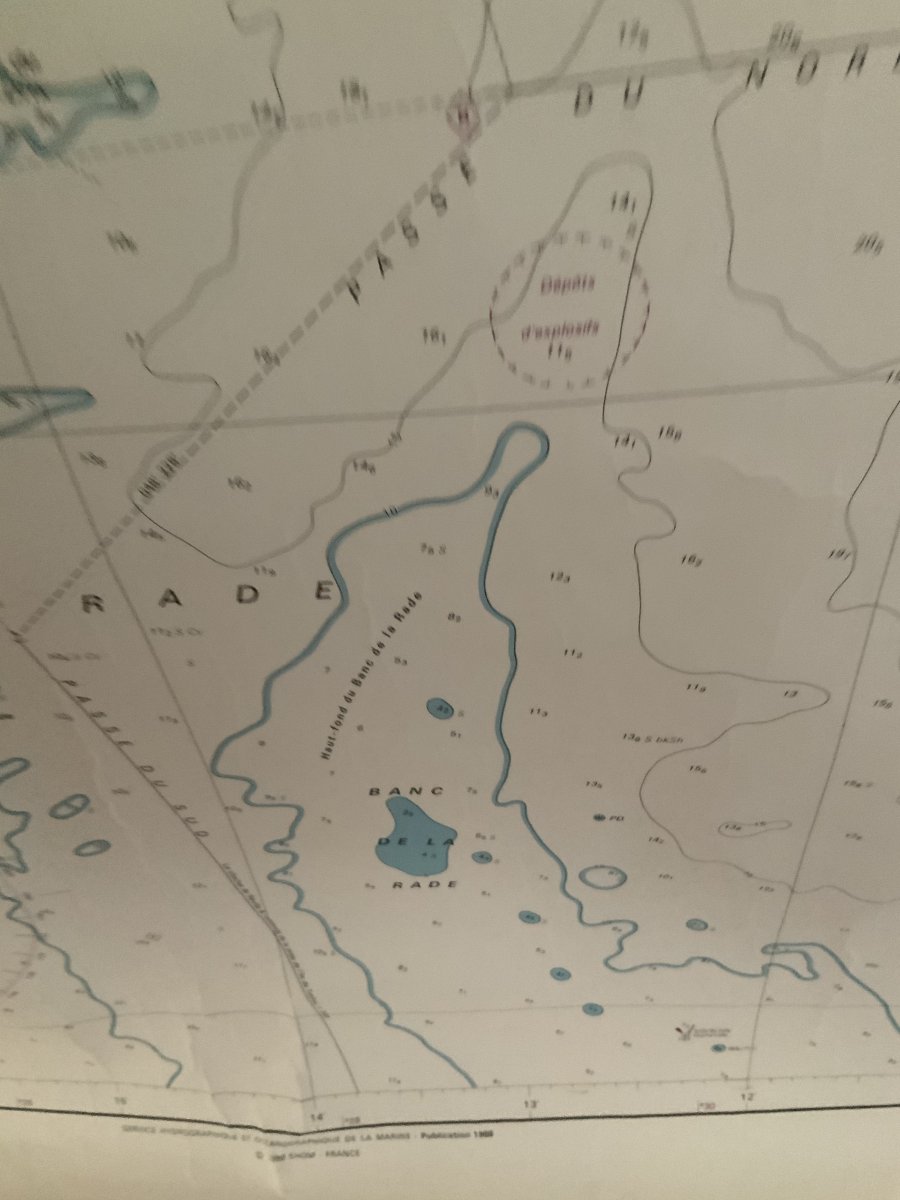

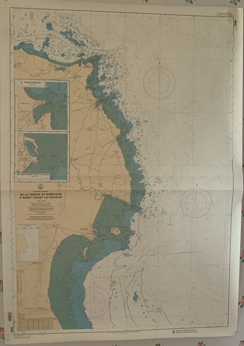
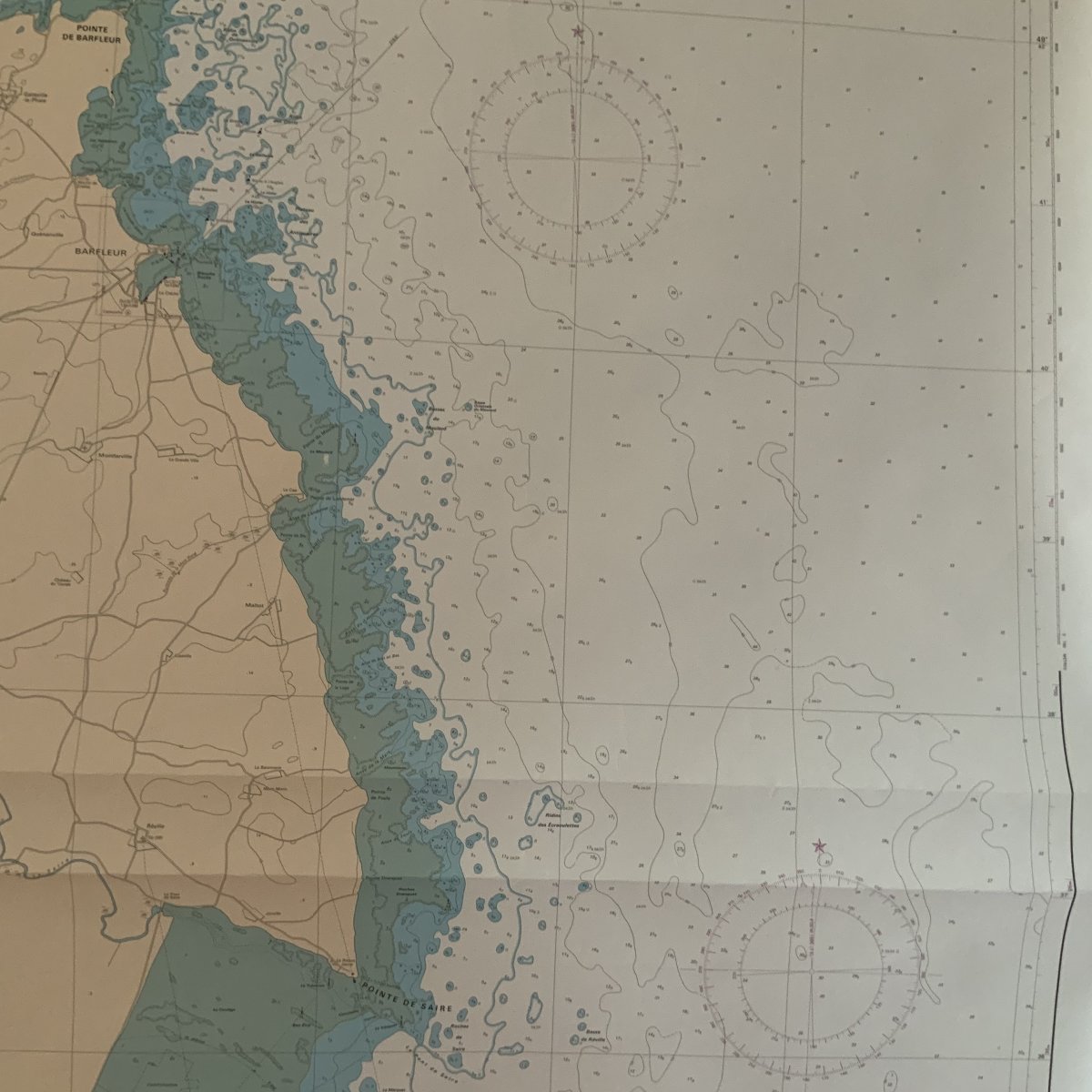
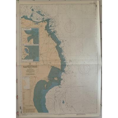
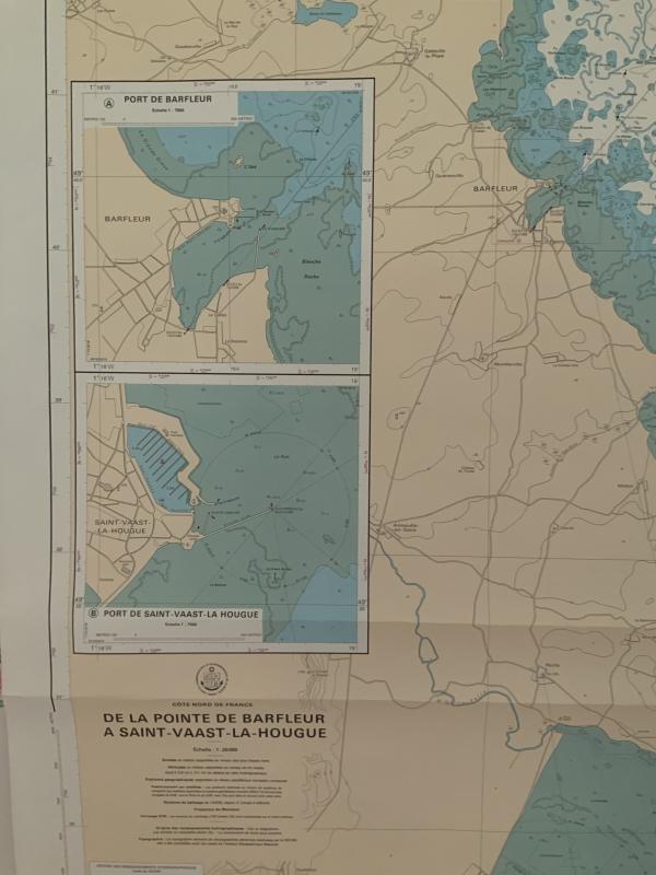
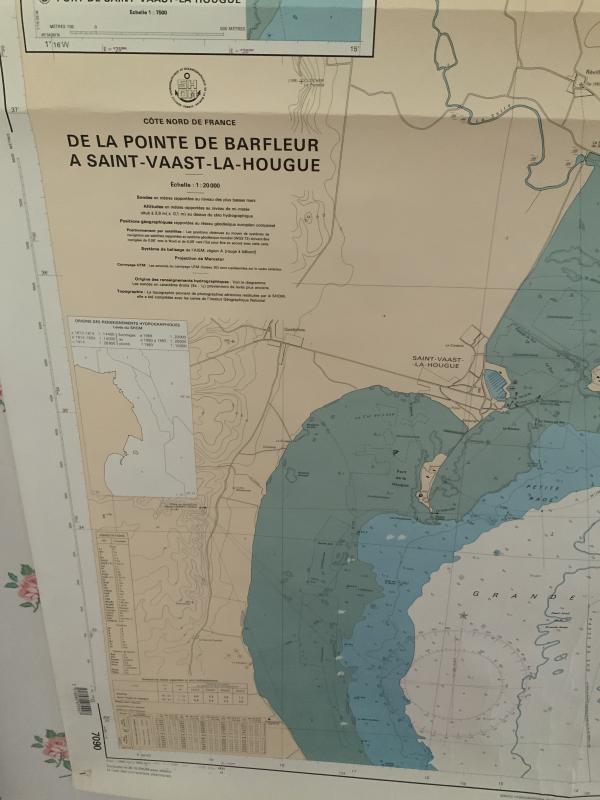
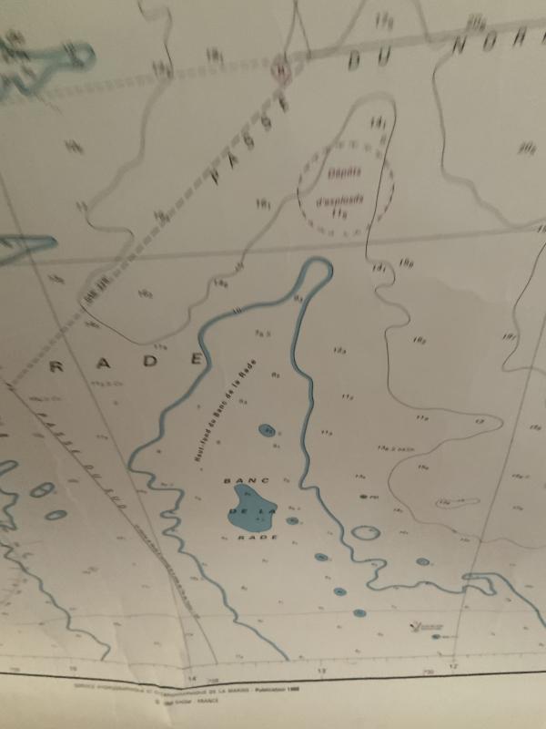
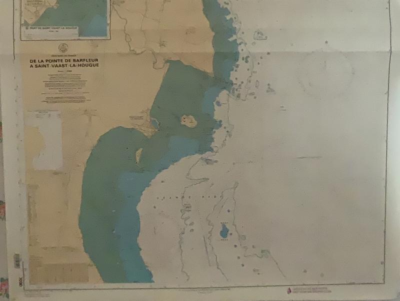
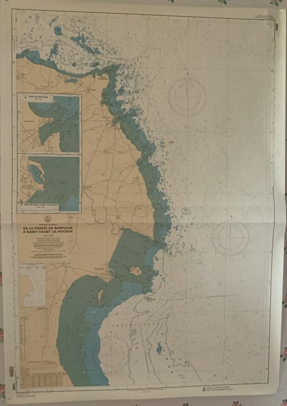
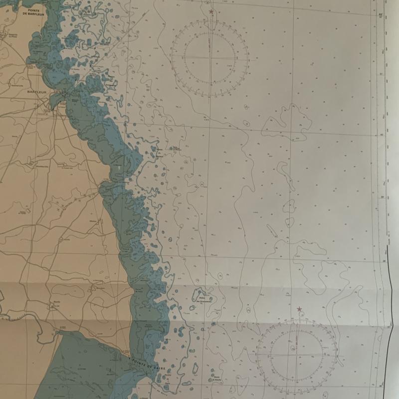
Marine Chart. North Coast Of France From Barfleur To St Vaast La Hougue
Marine chart. From Pointe de Barfleur to Saint Vaast la Hougue. Hydrographic and Oceanographic Service of the Navy publication 1988 Excellent condition, no tears or stains, just a few wrinkles of the paper in the lower margin Dimensions. With margin. 119cm x 84cm Borderless 112cm x 77cm
120 €
Period: 20th century
Style: Other Style
Condition: Excellent condition
Material: Paper
Width: 84
Height: 119
Reference (ID): 553732
Availability: In stock
Print