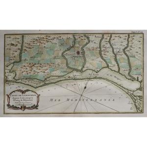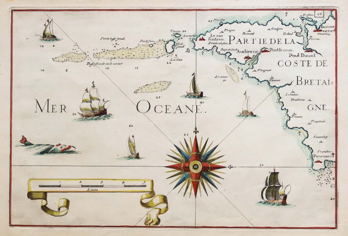
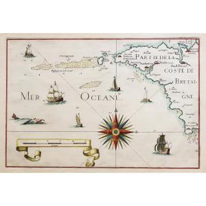
Antique Nautical Map Of Audierne Bay
Beautiful watercolor hues.
1 foxing spot in the upper margin that does not extend onto the map.
Very good condition.
Sheet size: 35 x 24.5 cm.
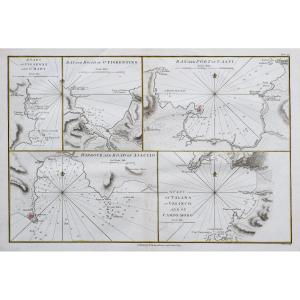
A particularly decorative map featuring a large compass, galleons, and a scale of measurements in leagues. These maps show coastlines with dunes, mountains, capes and headlands, as well as harbors and anchorages represented by small anchors.
Based on the work of the geographer Tassin, from 1635.
You can view all the maps and engravings available for your region by clicking on the link to our website specializing in historical geographical archives:
Secure payment by credit card on our website by clicking on the link:
https://cartes-livres-anciens.com/produit/cartes-geographiques-anciennes-original-antique-maps/france/bretagne/carte-marine-ancienne-de-la-baie-daudierne/
All of our maps and engravings come with a certificate of authenticity.
Nicolas de Fer (1647–1720)
Geographer to His Catholic Majesty (1702) and to His Highness the Dauphin (1690), and geographer to the Royal Children.
Nicolas de Fer was the son of the print dealer Antoine de Fer. He began an apprenticeship at the age of 12 with the engraver Louis Spirinx in May 1659, then worked with his father until the latter’s death in June 1673, and then with his mother until 1687, the year in which she transferred her business to him (Nov. 8, 1687).
As an engineer and cartographer, he employed several engravers who produced his nautical charts and maps of Louis XIV’s conquests—more than 600 maps and plans, including political, administrative, ecclesiastical, hydrographic, and orographic maps of France, as well as various neighboring countries.
His most notable work resulted from the compilation of these maps into the *Atlas Curieux*, in which the world is depicted through general and specific maps of the heavens and the earth.
Period: 17th century
Style: Other Style
Condition: Excellent condition
Material: Paper
Reference (ID): 1799636
Availability: In stock