Old Maps
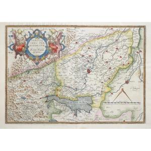
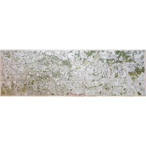
Grande Carta Corografica Degli Stati Di S.m. Re Di Sardegna Del 1[...]
18th century
4 500 €


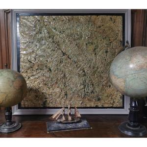
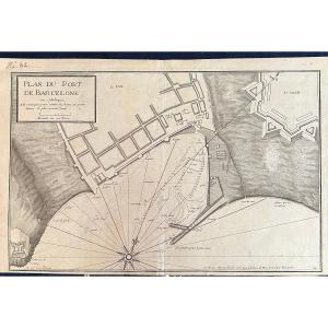
Old Lithographic Map Guyenne En Gironde Aquitaine Bordeaux Périgo[...]
20th century
70 €
![]()


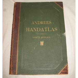
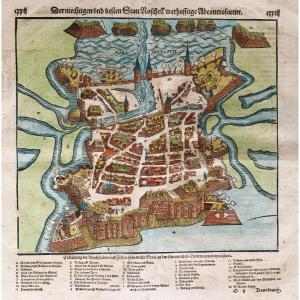
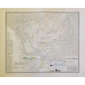
Handatlas De Andrees Collection Of Maps In German Language Atlas [...]
19th century
180 €


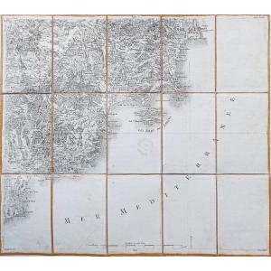
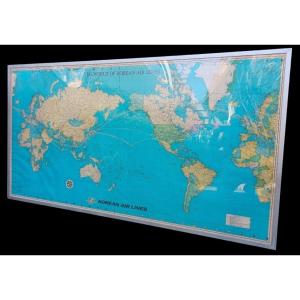
Compagnie Générale Transatlantique, Map Of The Company's Lines 19[...]
20th century
450 €

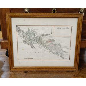
18th Century Watercolor Map Of The Ile De Ré By Le Rouge 1746
18th century
390 €


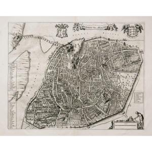
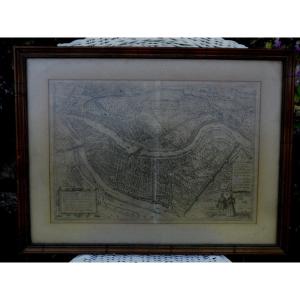
Paris In 1630 – Map Of The City Of Paris According To Melchior Ta[...]
20th century
320 €

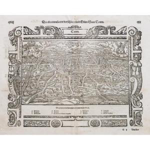
Engraving “plan De Lyon” In The 16th Century, After Braun And Hog[...]
20th century
80 €